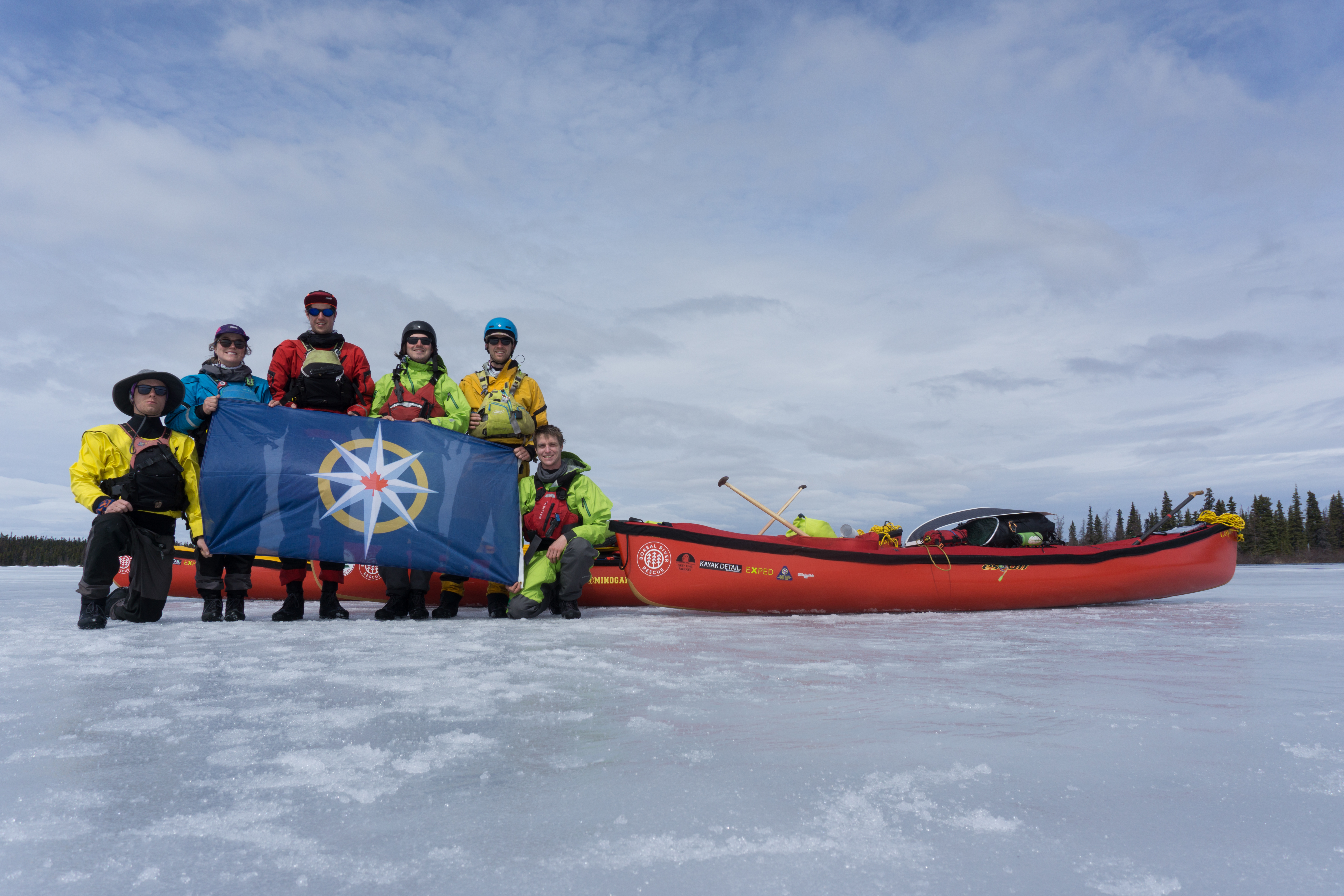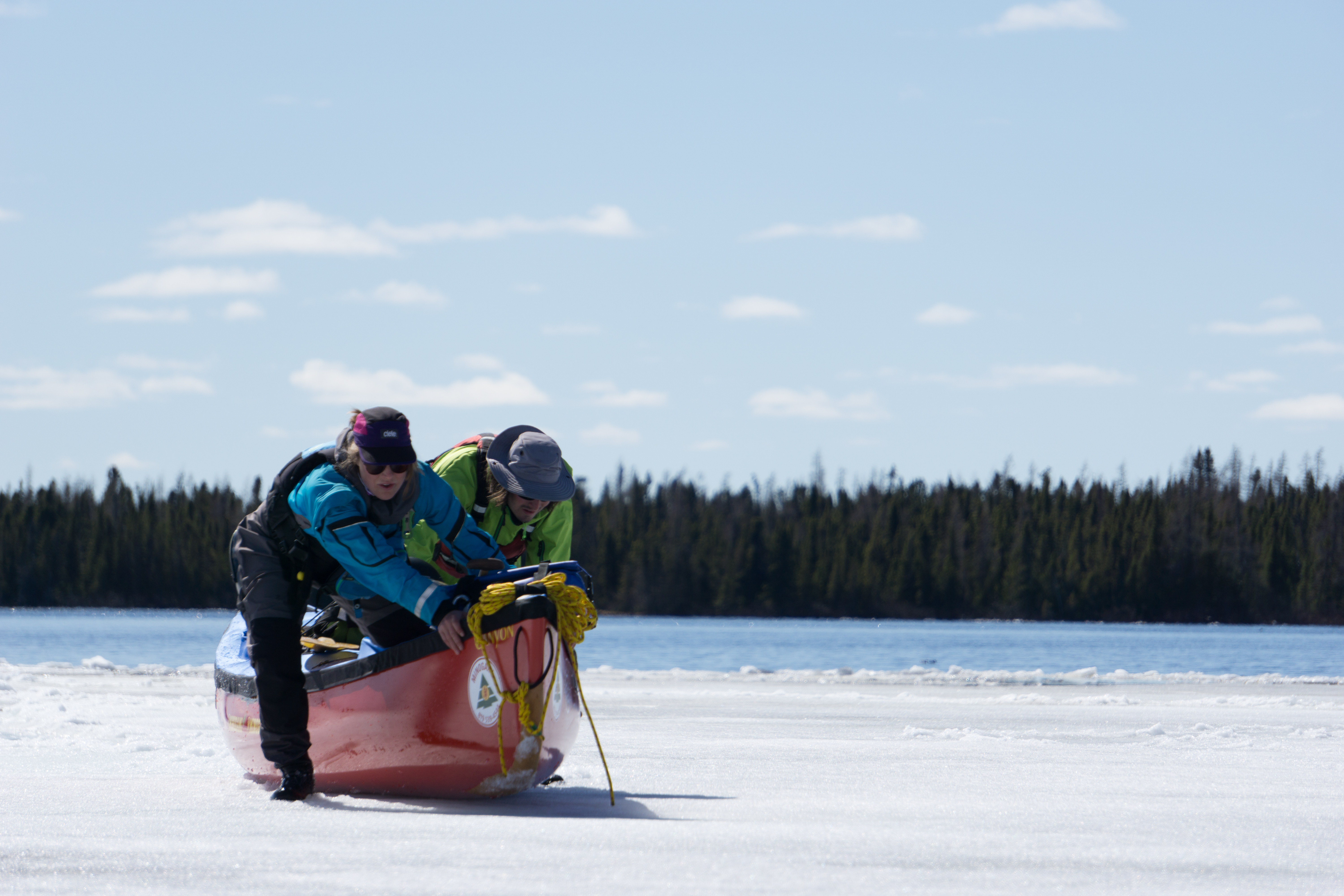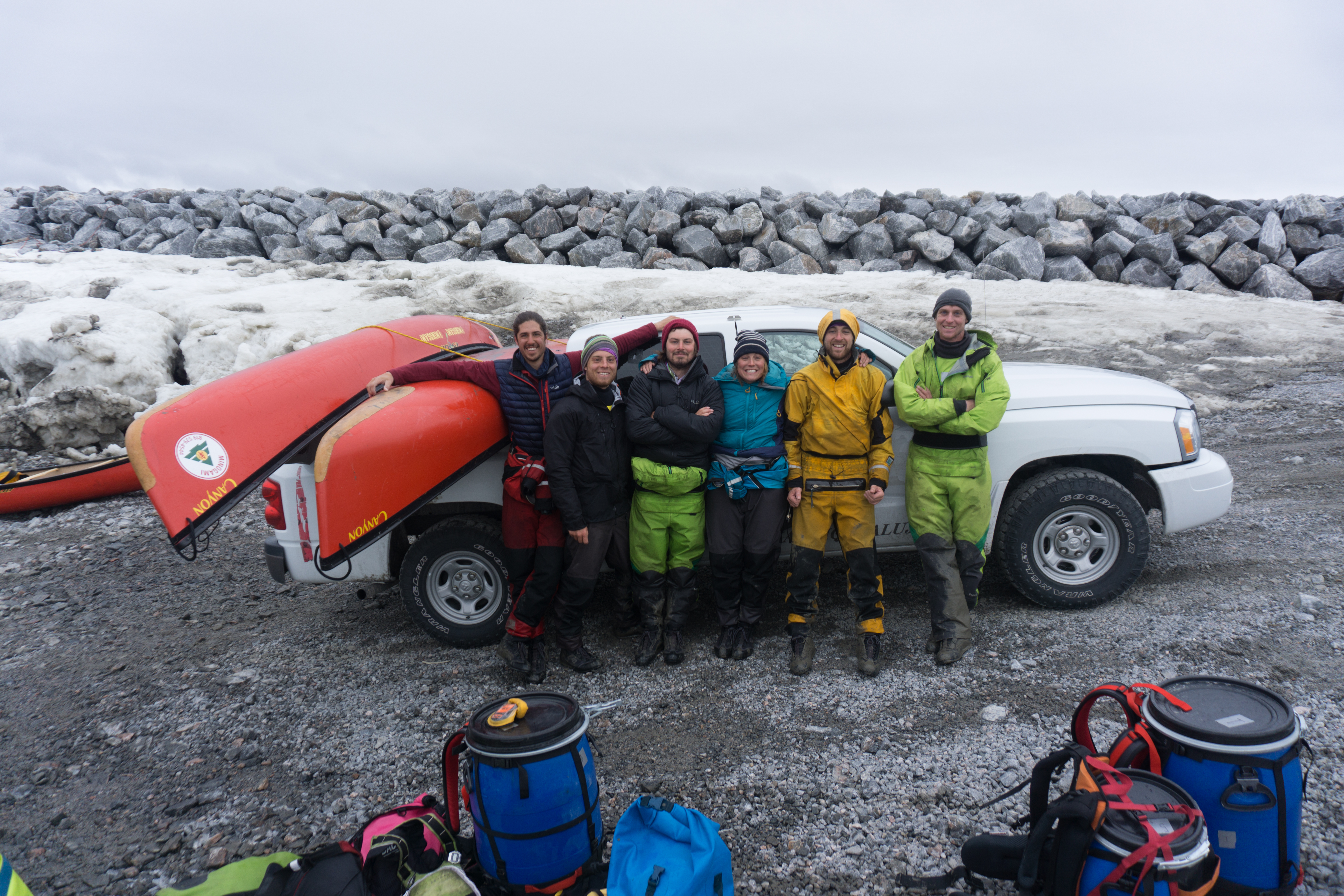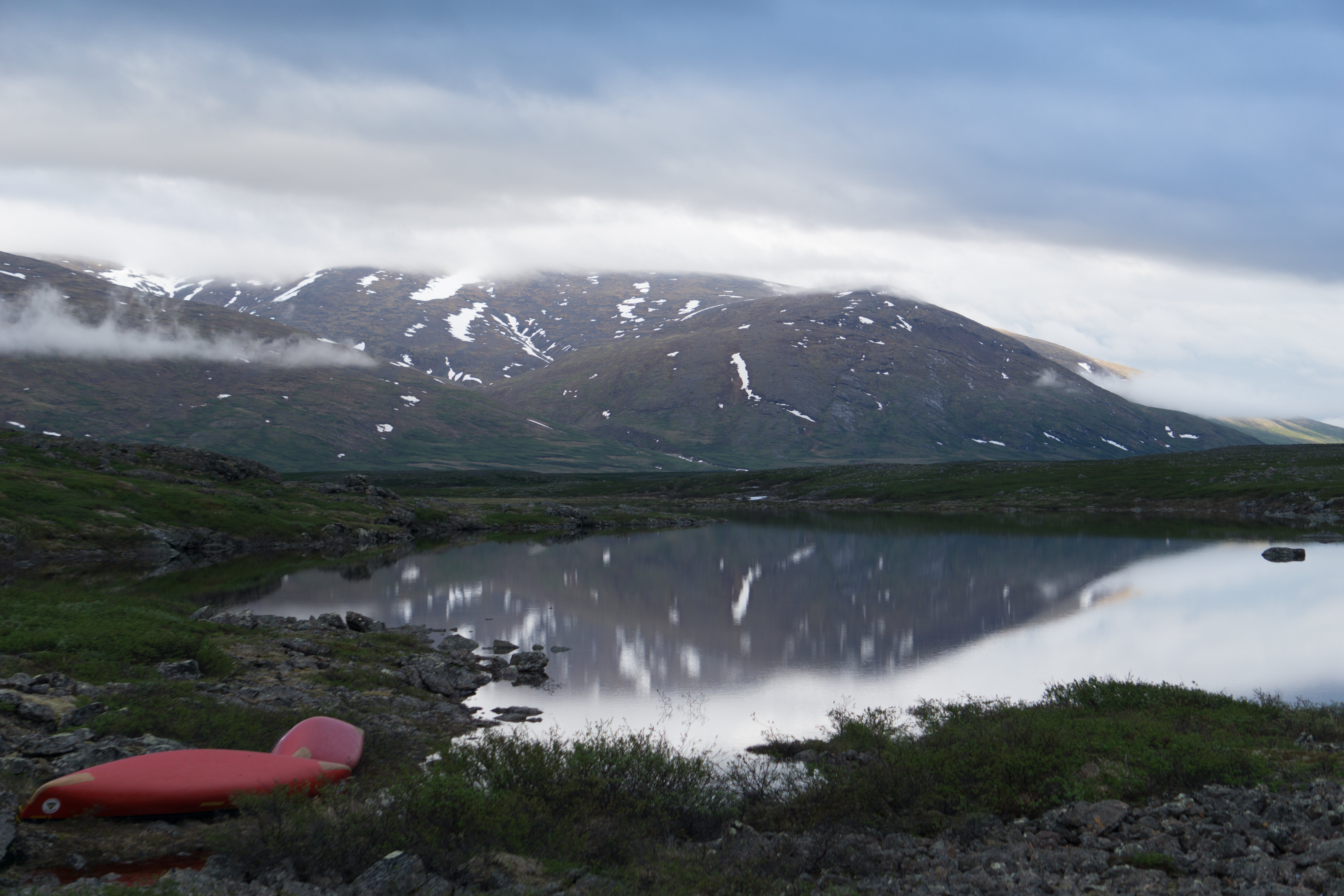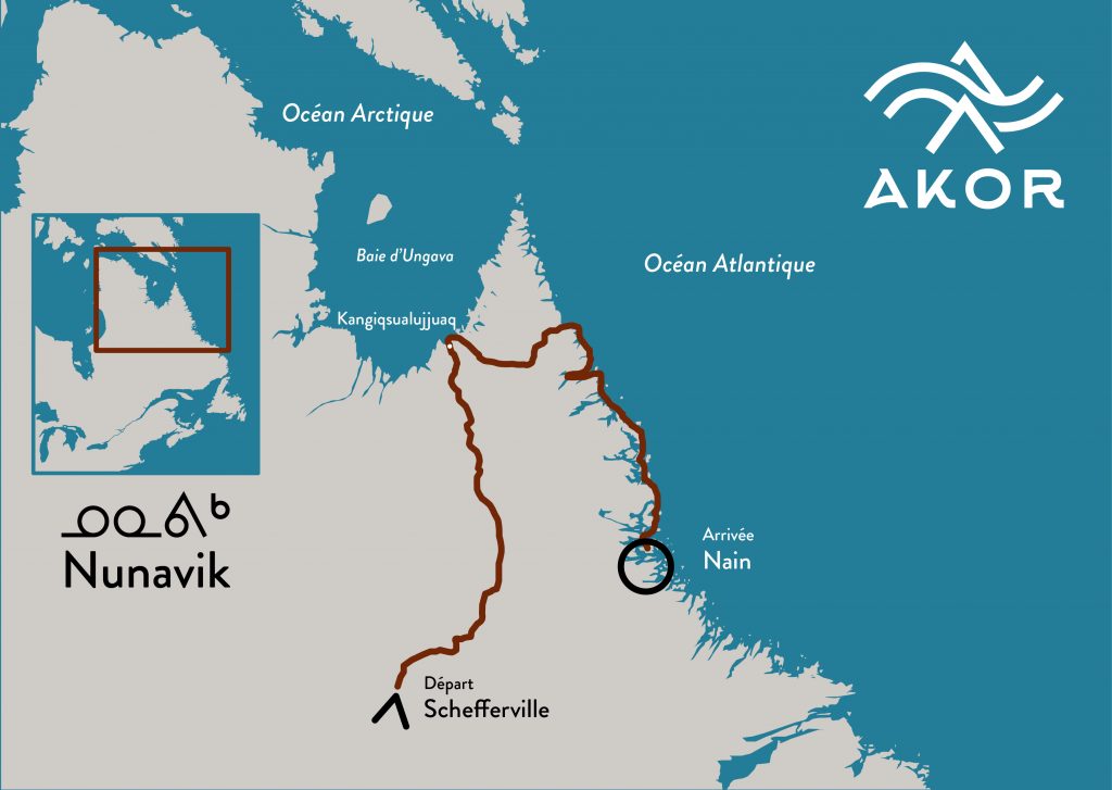
Spring 2018. We’re a team of 6 friends from Quebec City about to pull canoes across 150 km of frozen lake in Labrador for the first time in our lives. At this very moment, none of us knows if it will work. But it’s a necessary step, as we’re heading for Nunavik on a 1,600 km expedition that will take us, in 2 months, to the heart of the mythical Torngat Mountains.
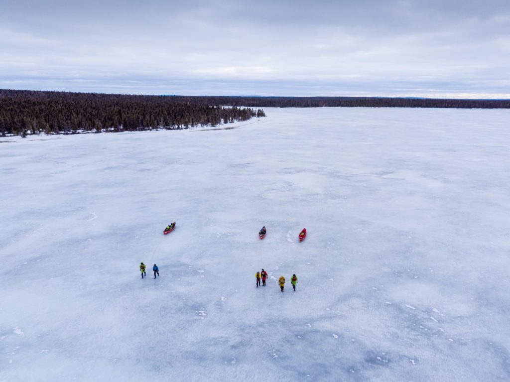
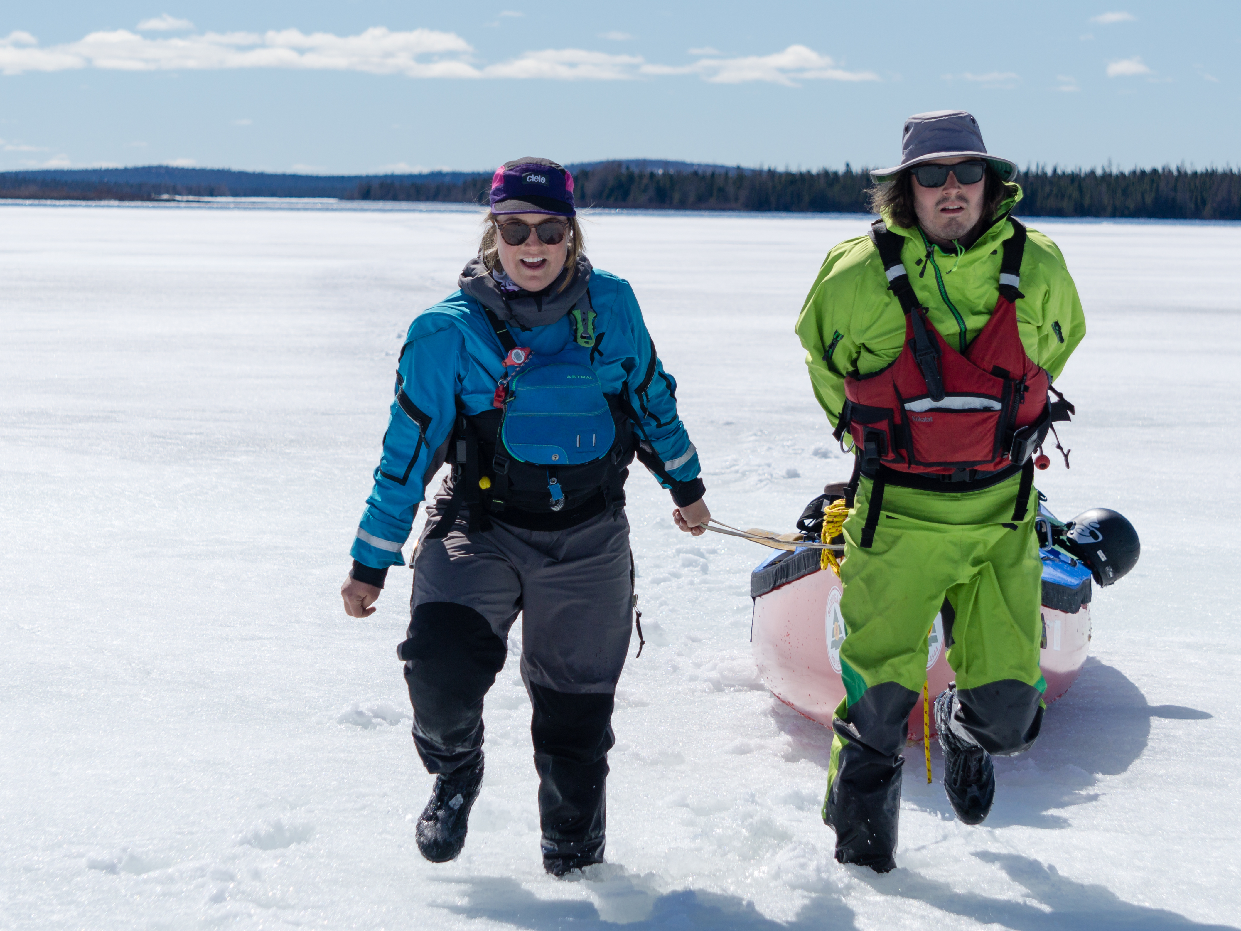
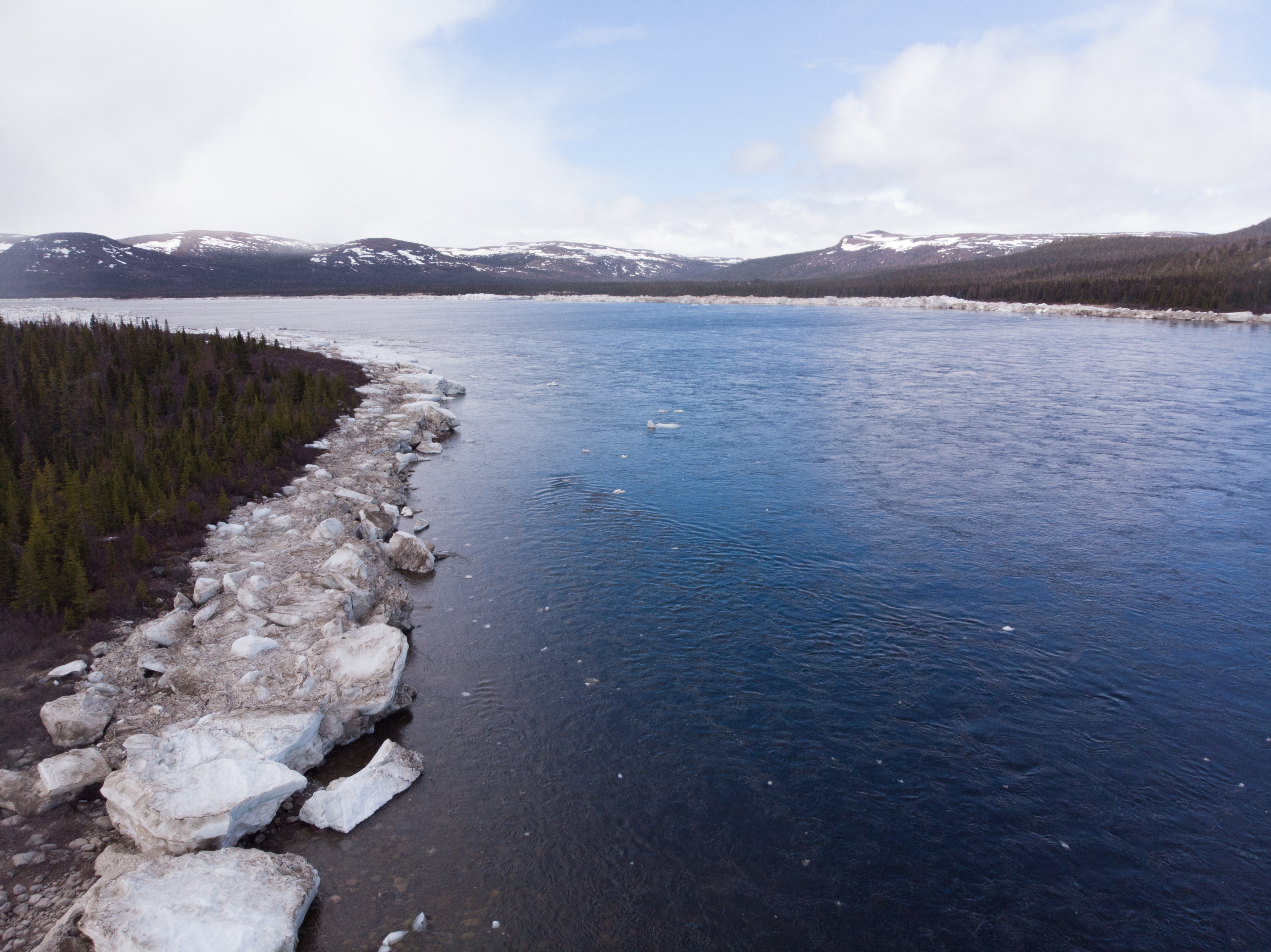
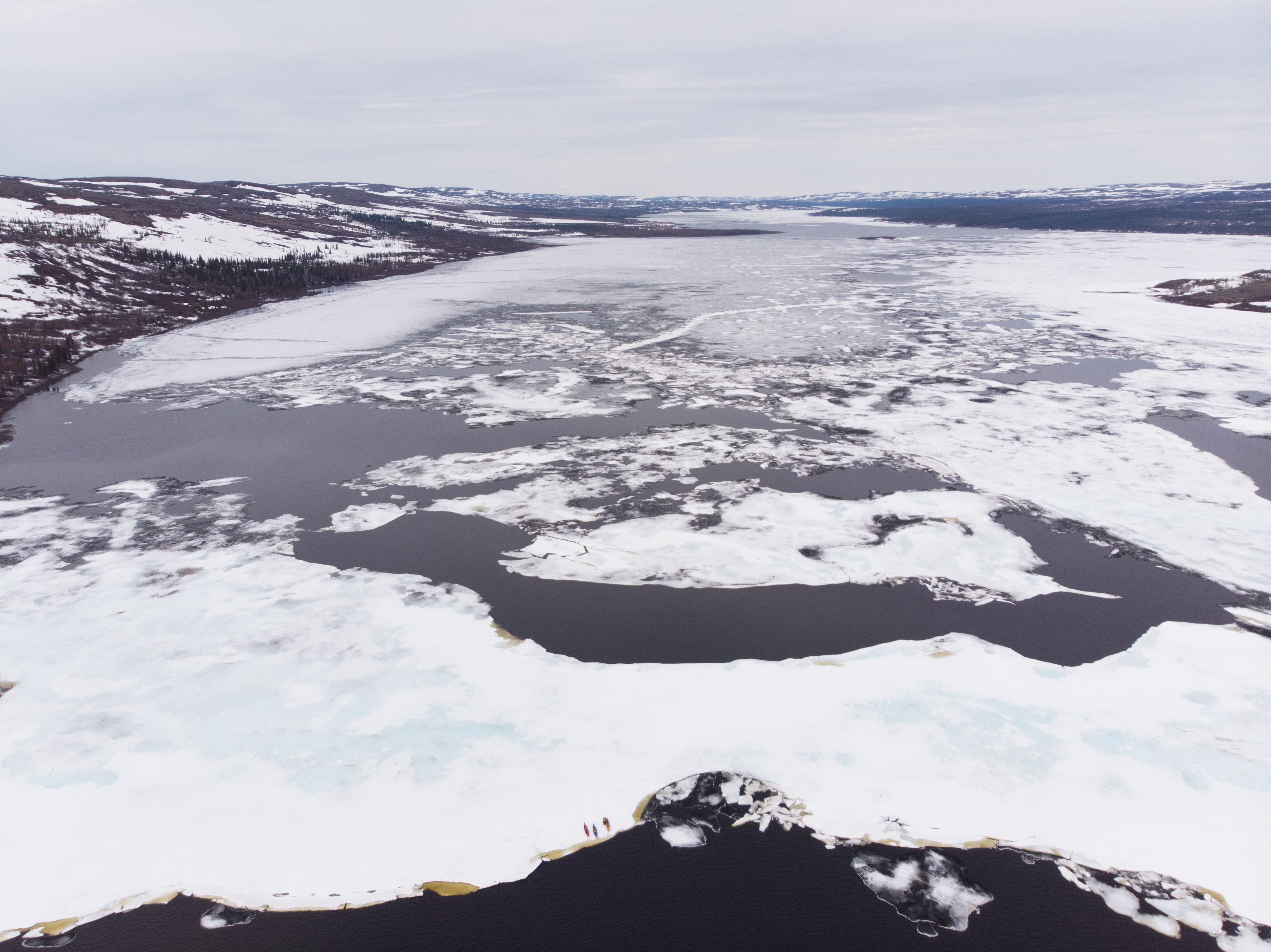
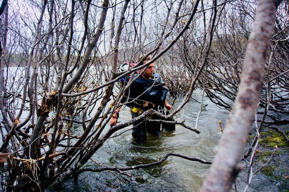
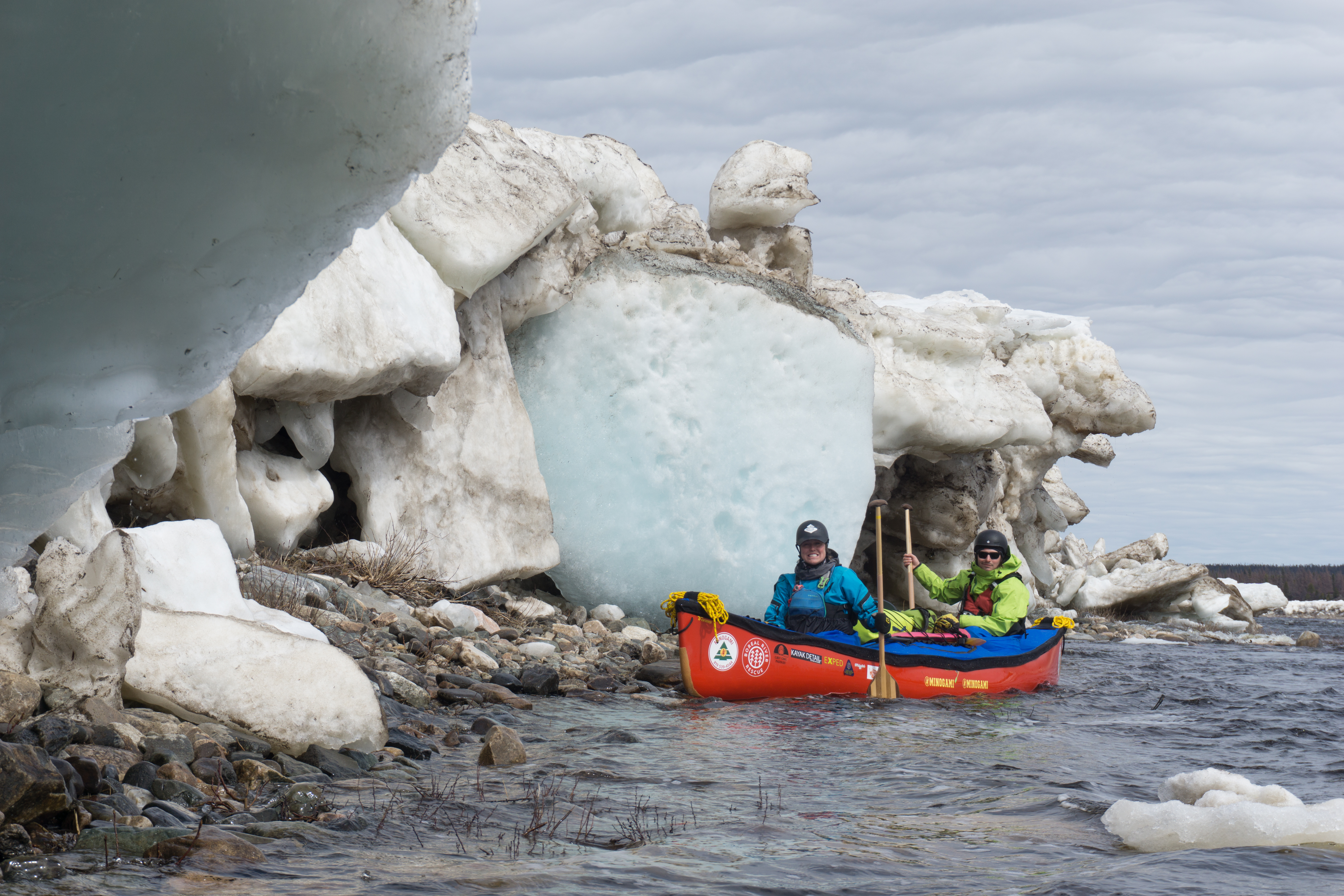
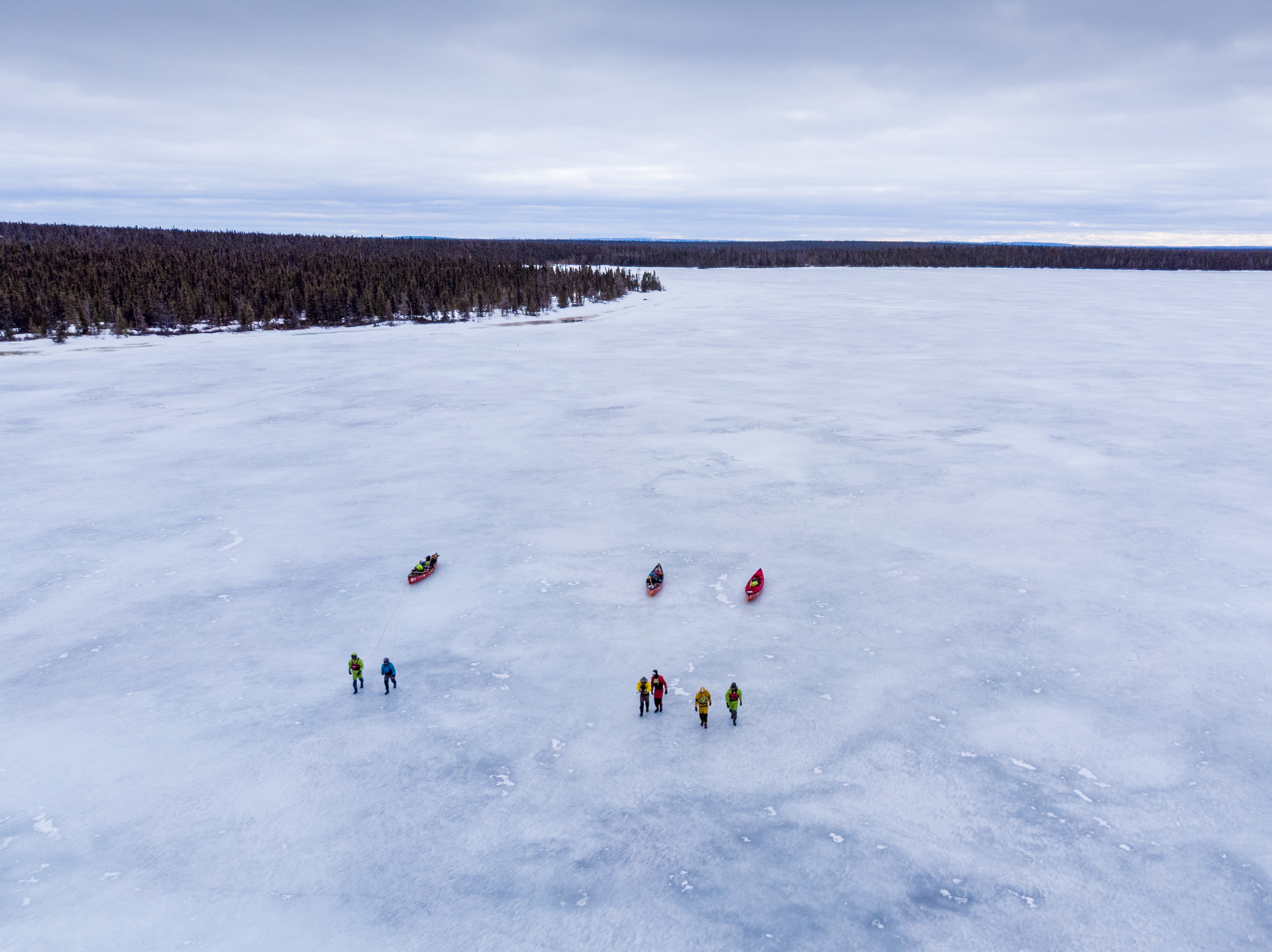
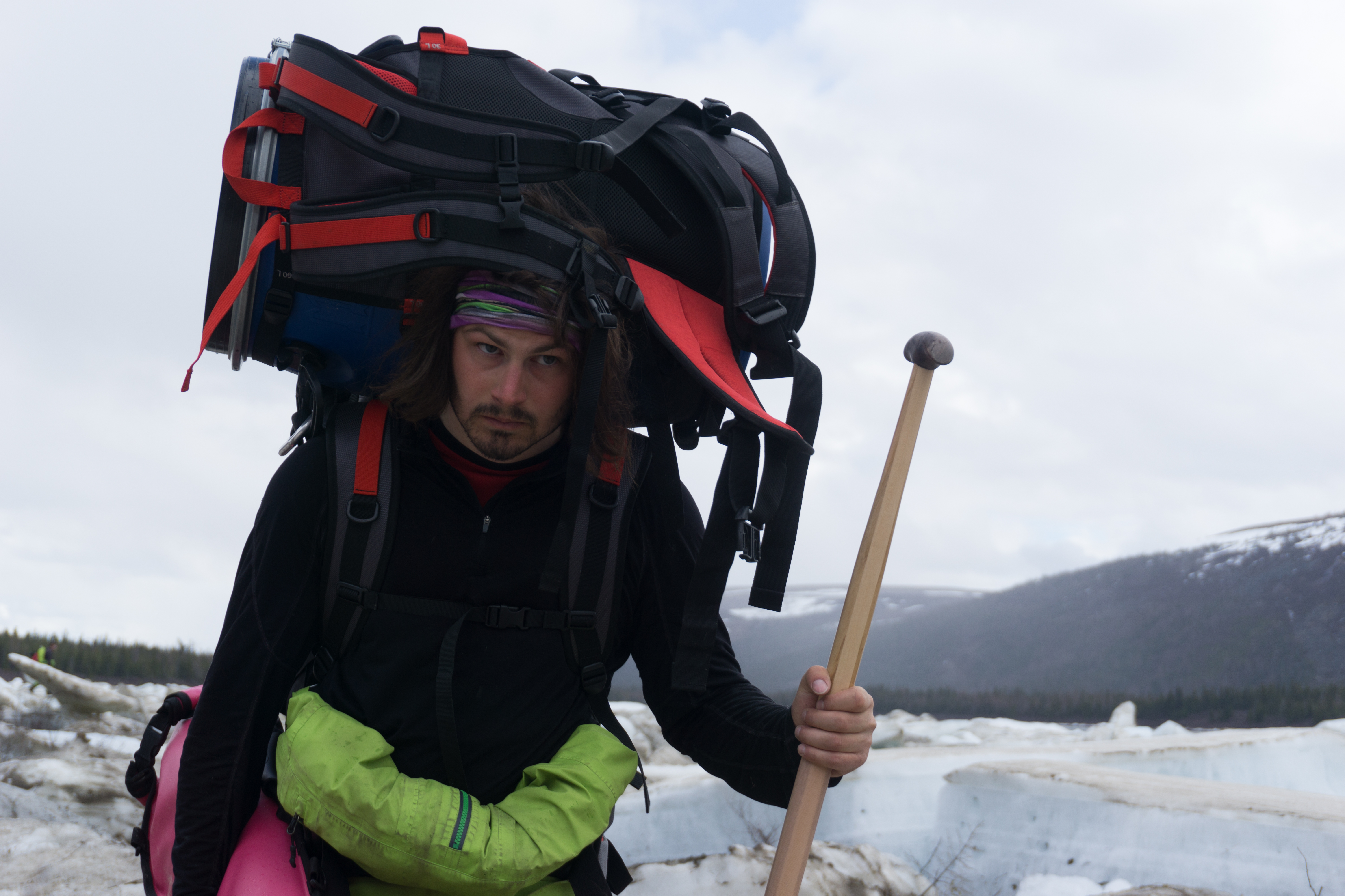
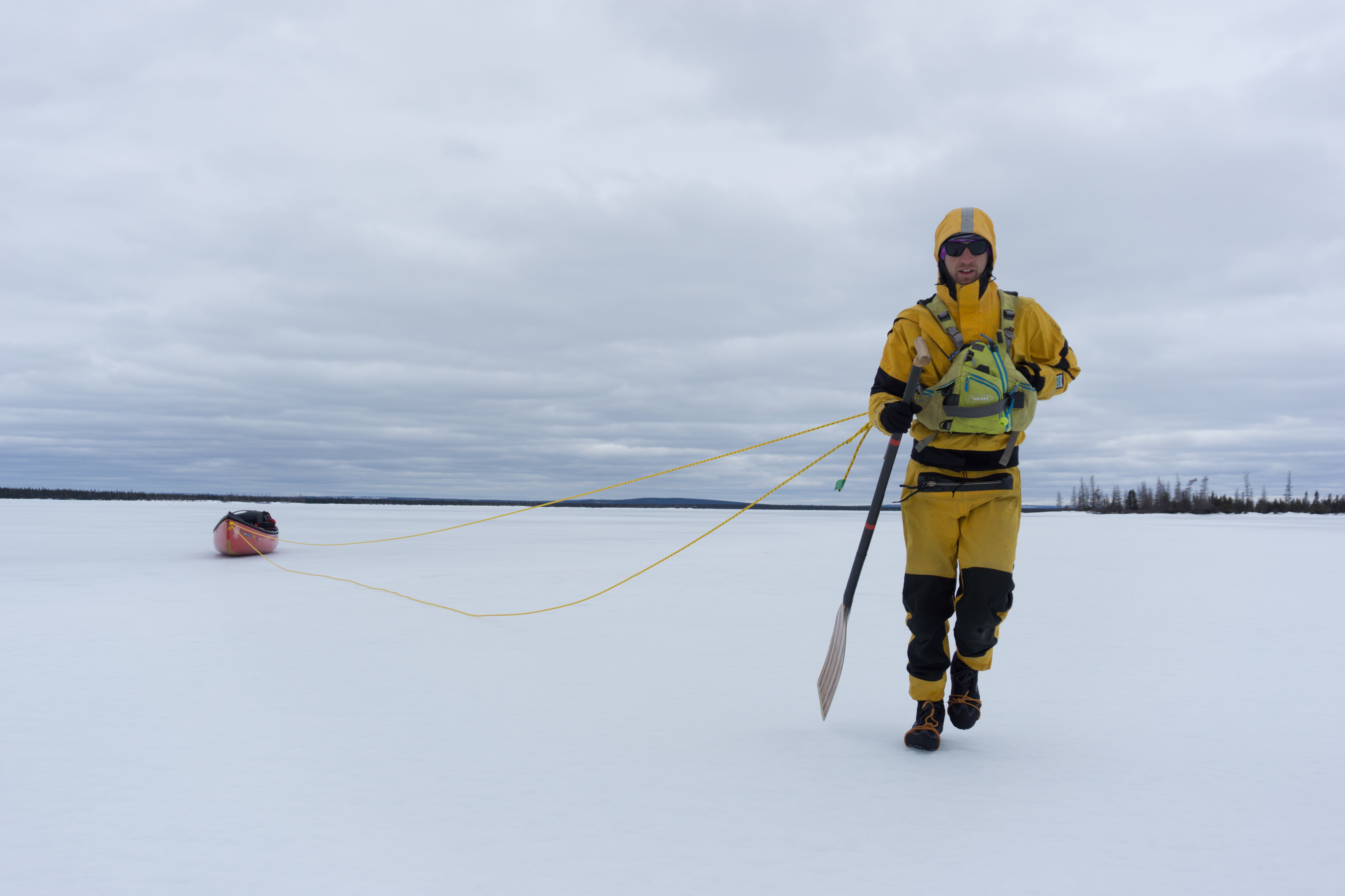
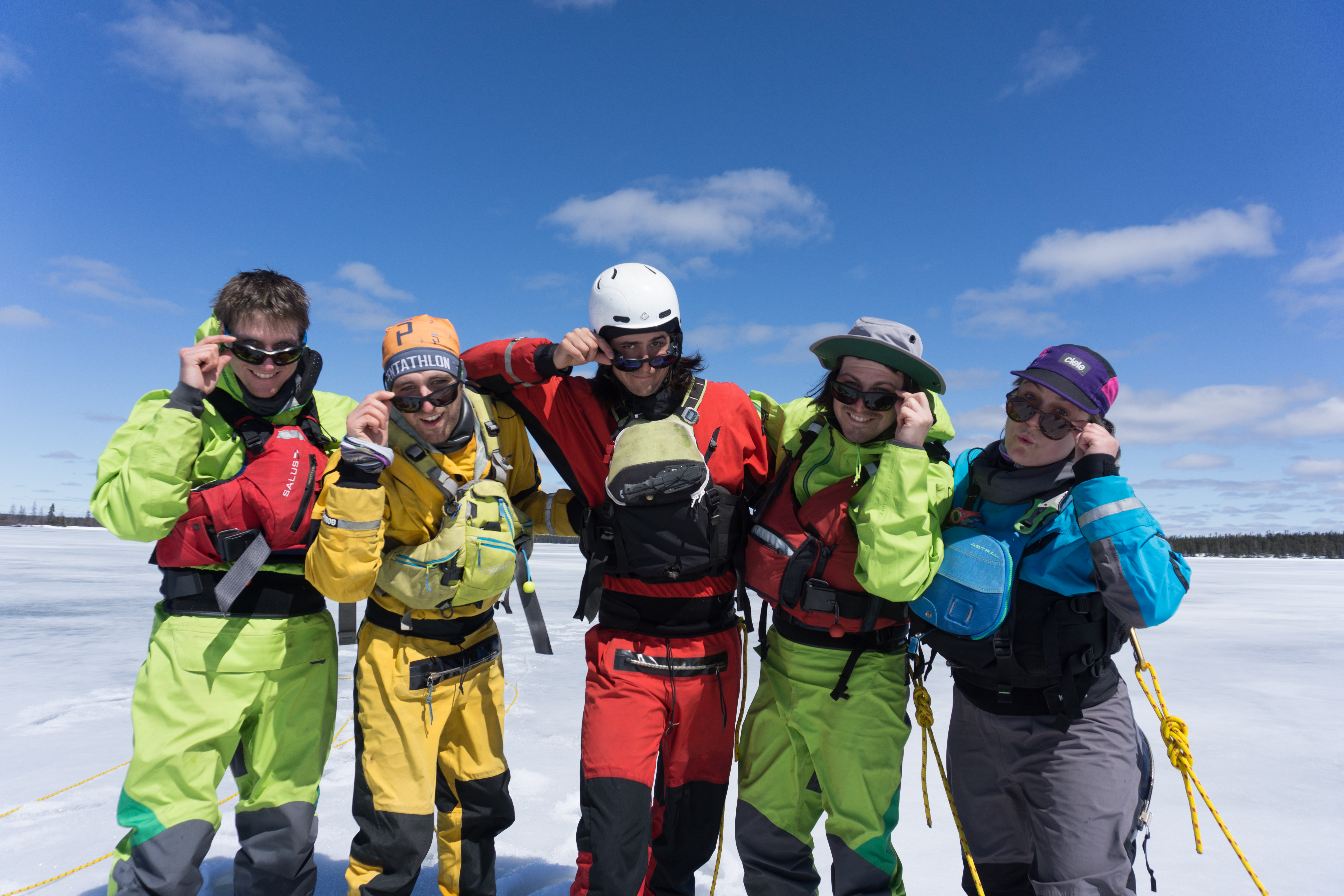
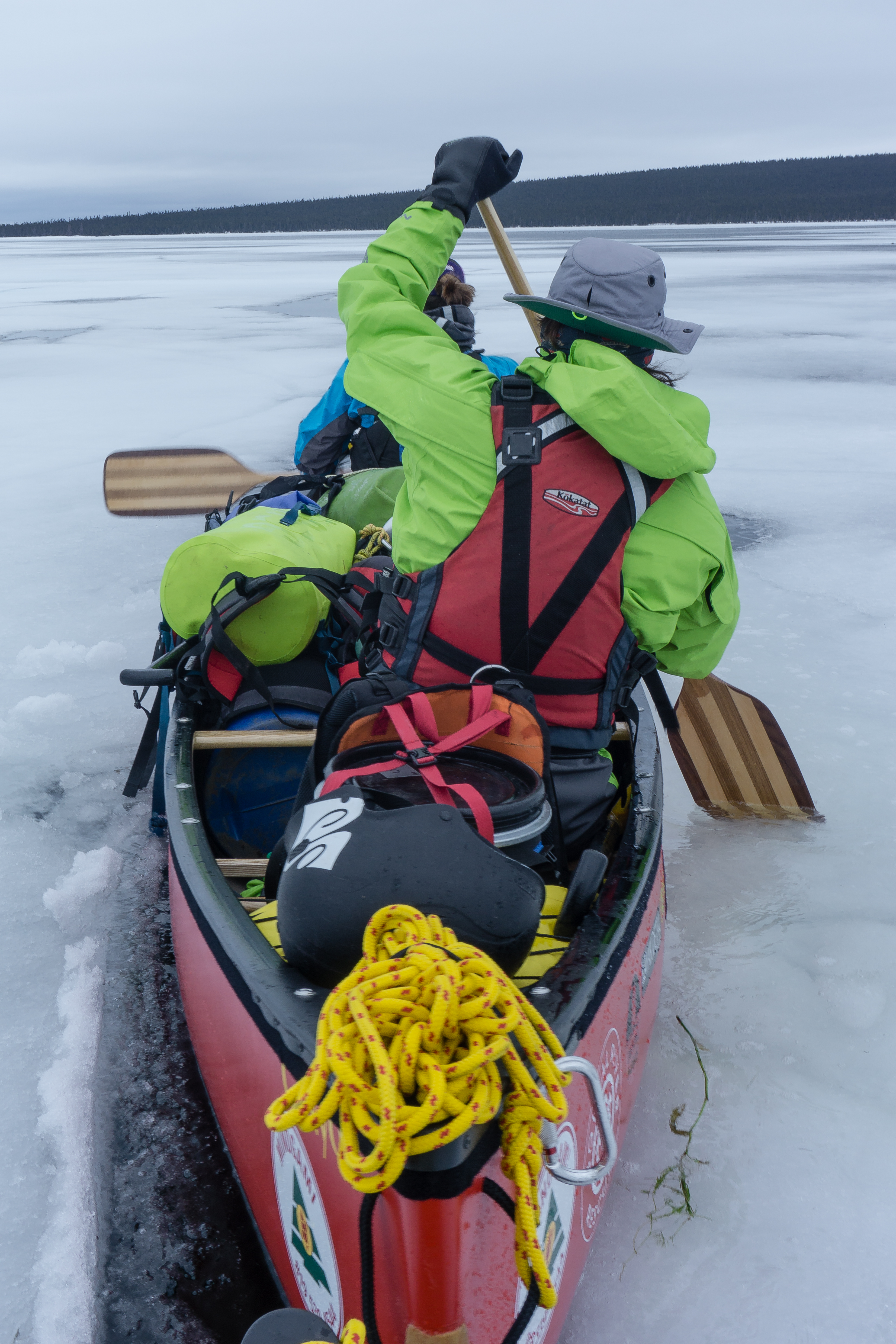
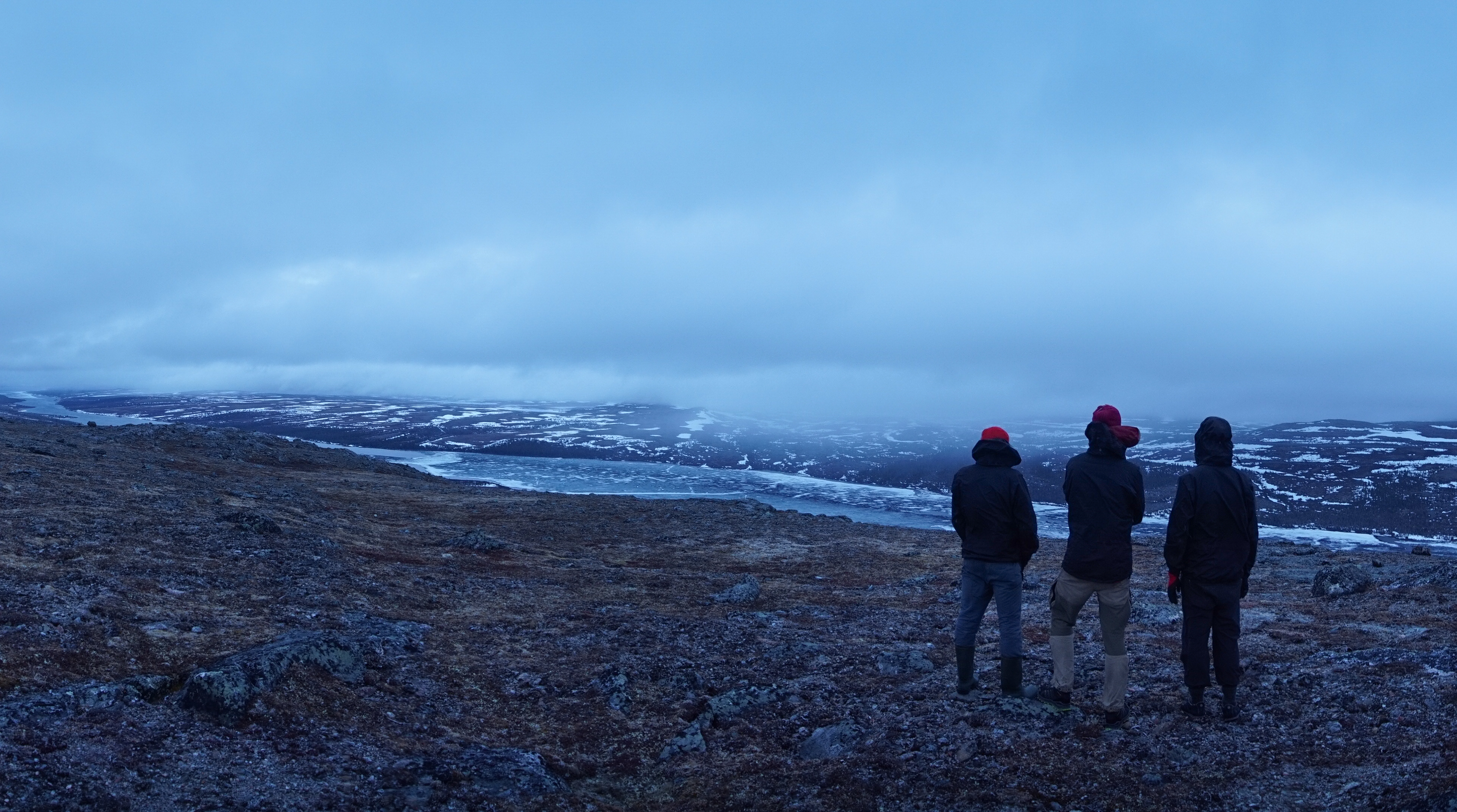
Setting out from Schefferville, we began by dragging our canoes across the great frozen lakes of Labrador for 10 days in early June. There was something exotic about “experimental” canoeing in a winter camping context.
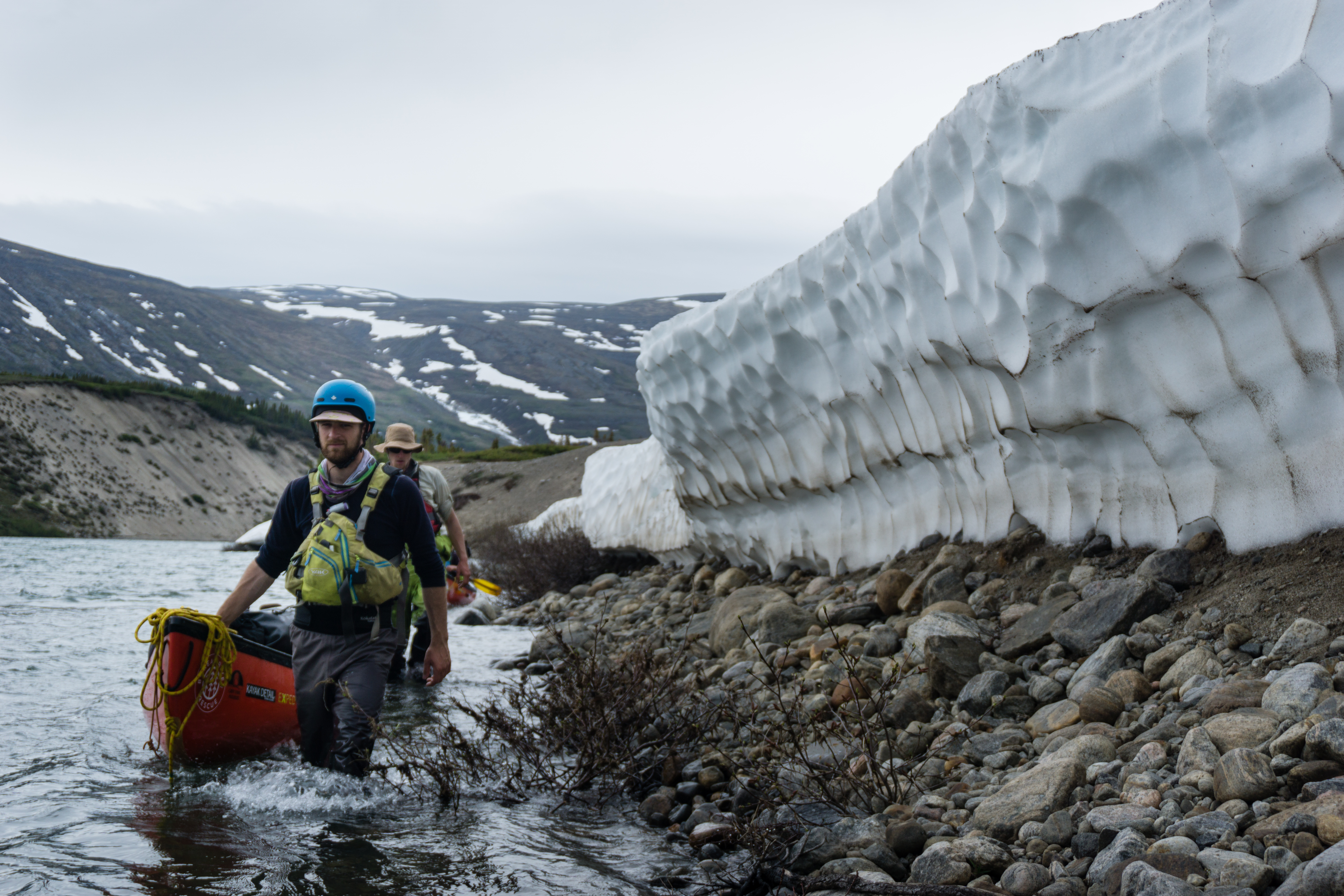
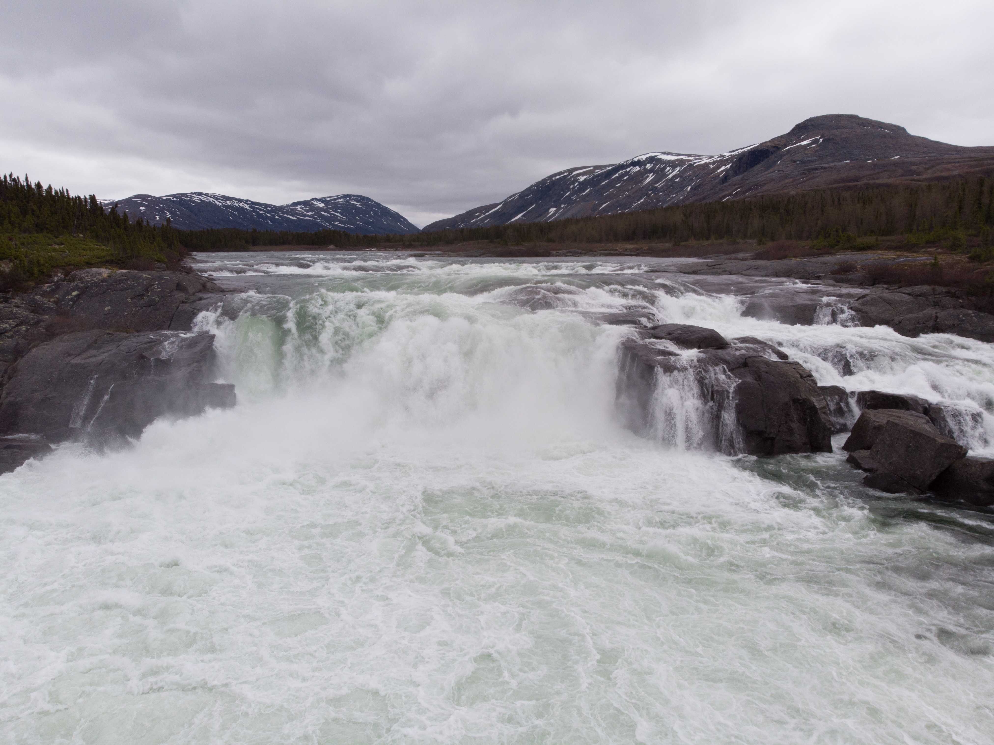
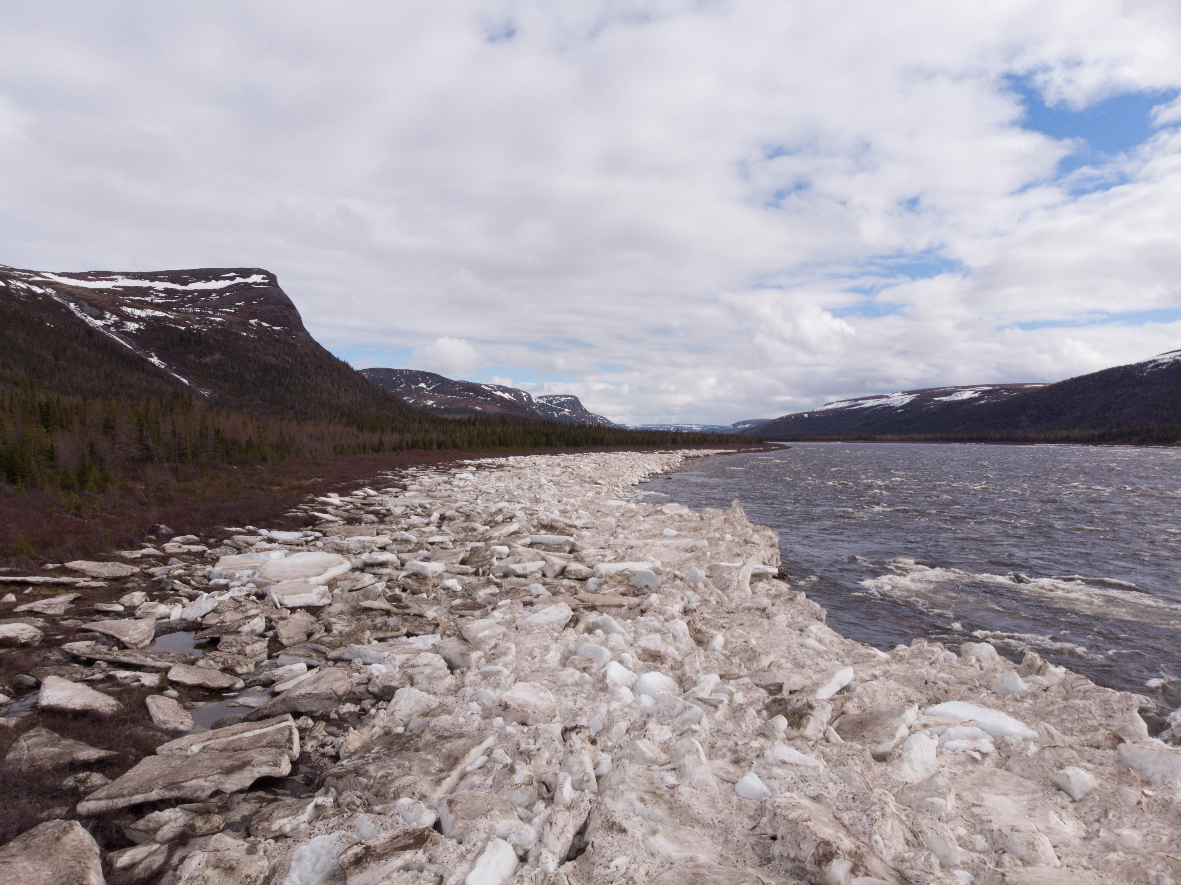
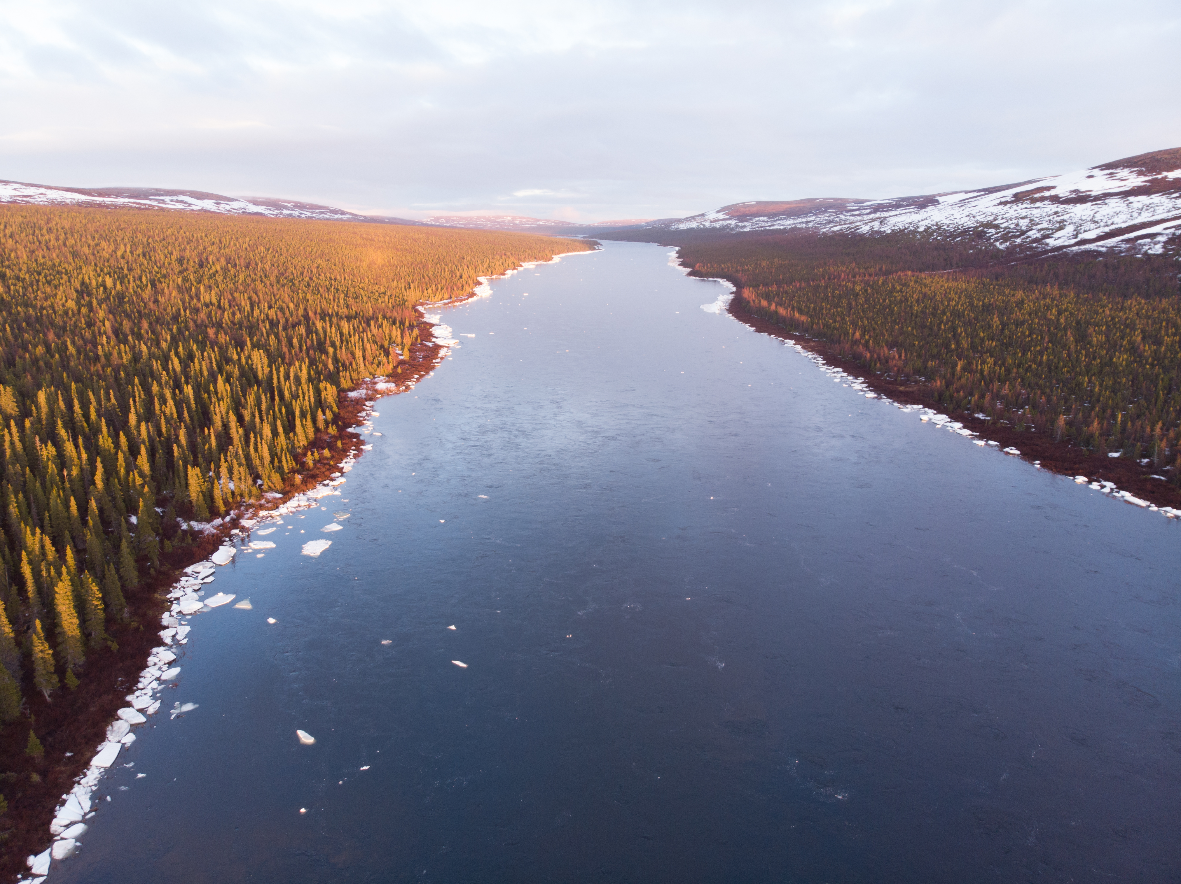
This unusual canoe trip allowed us to reach one of Quebec’s largest rivers – the George – just as it was bursting its banks. Ice bridges were still obstructing the river.
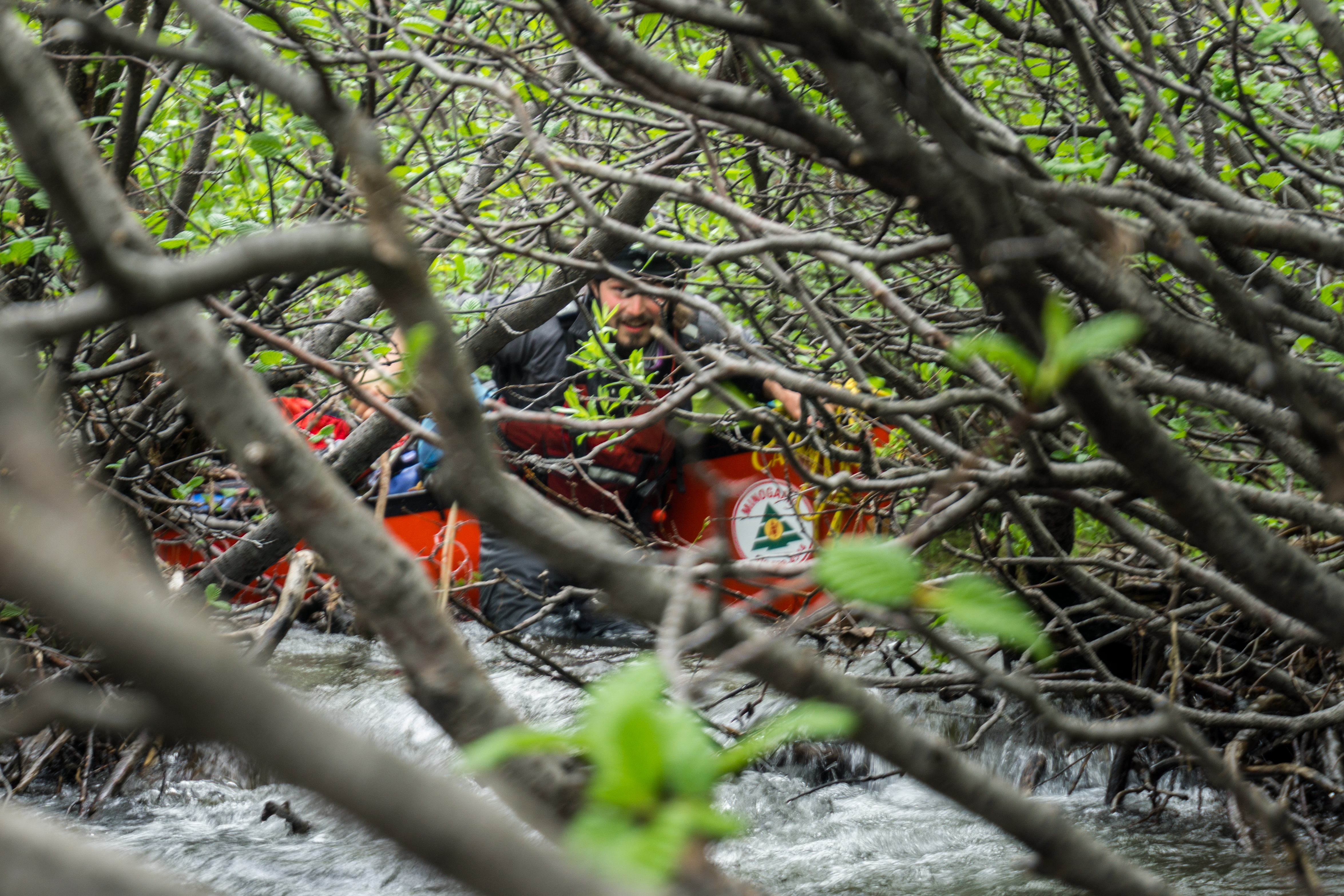
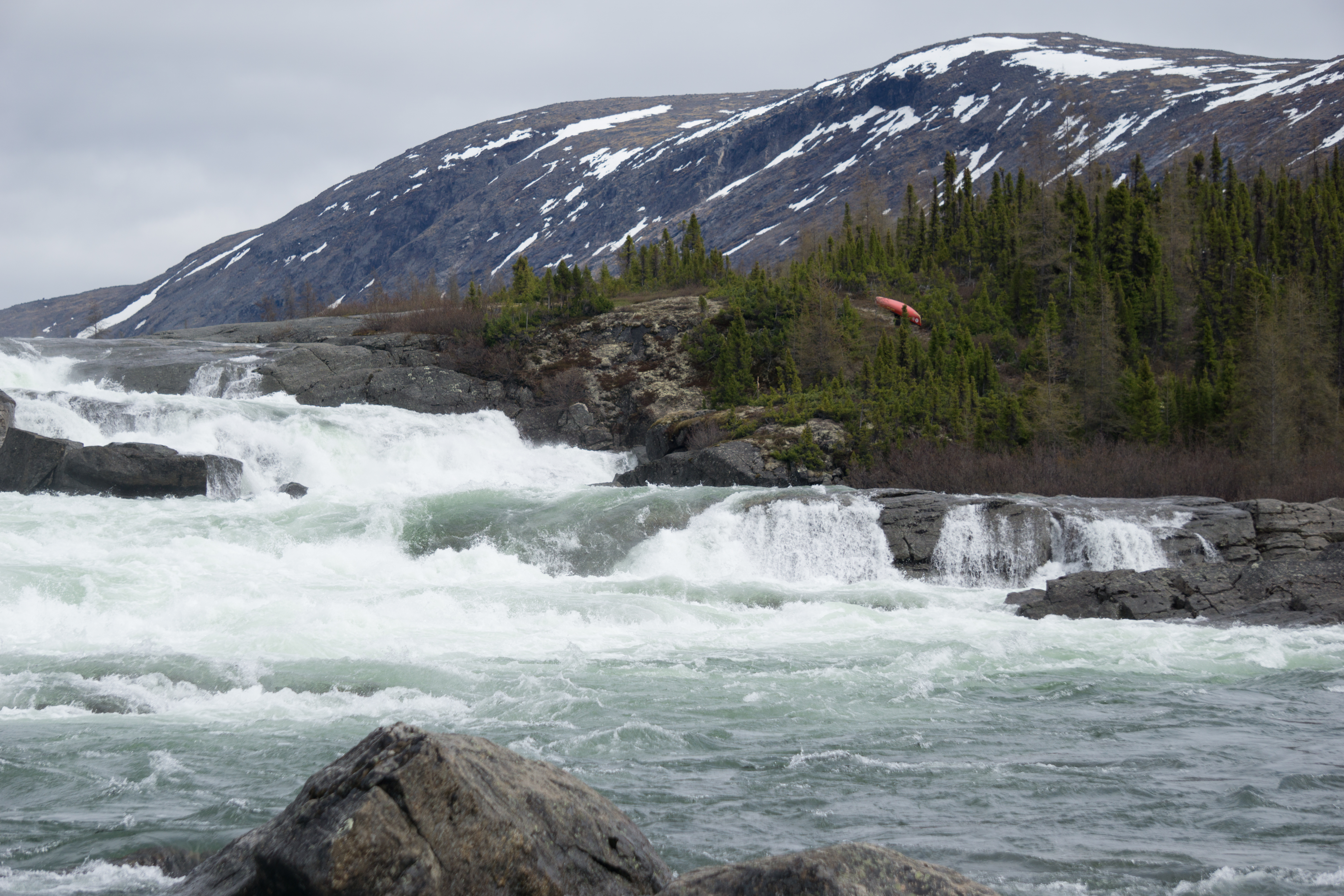
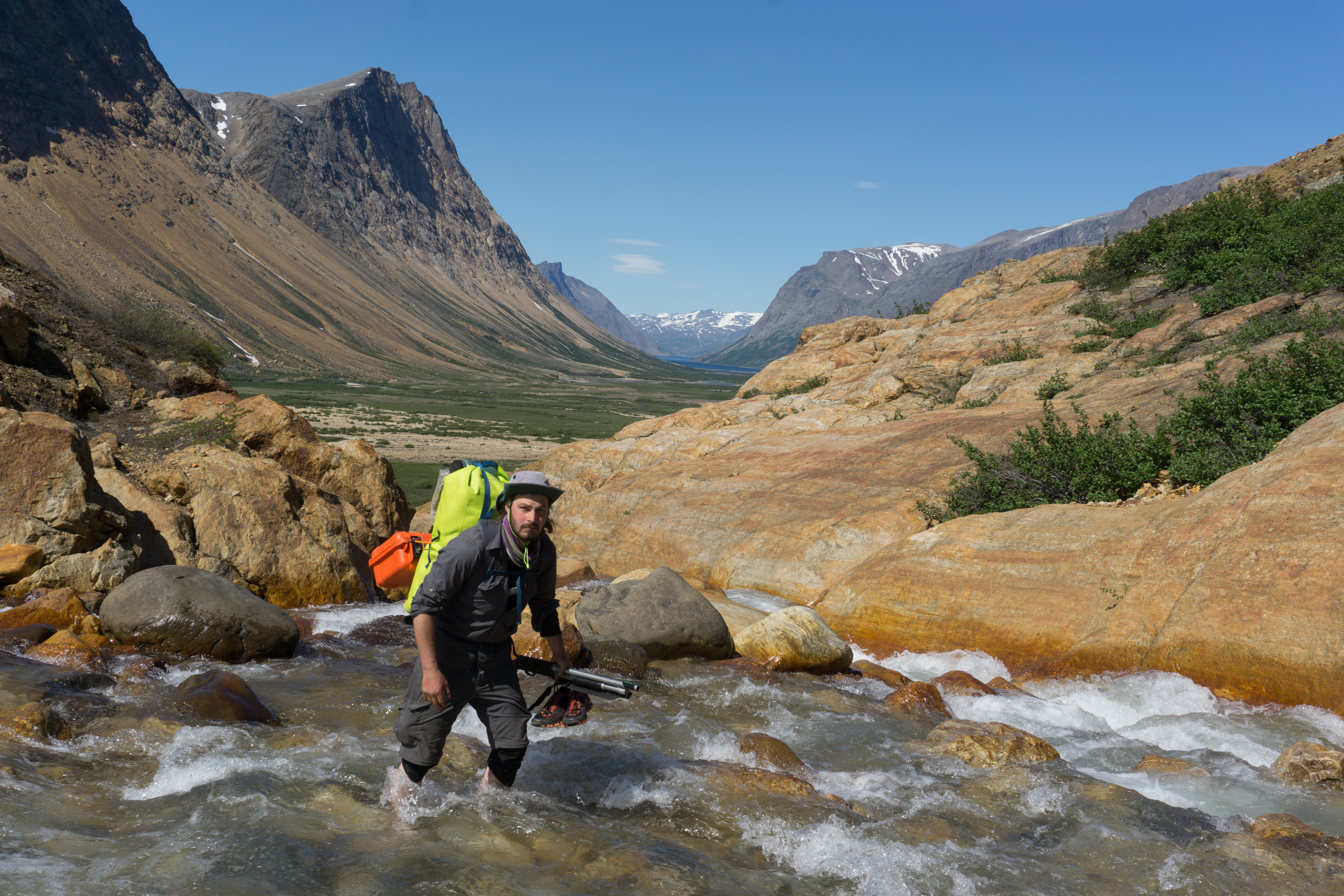
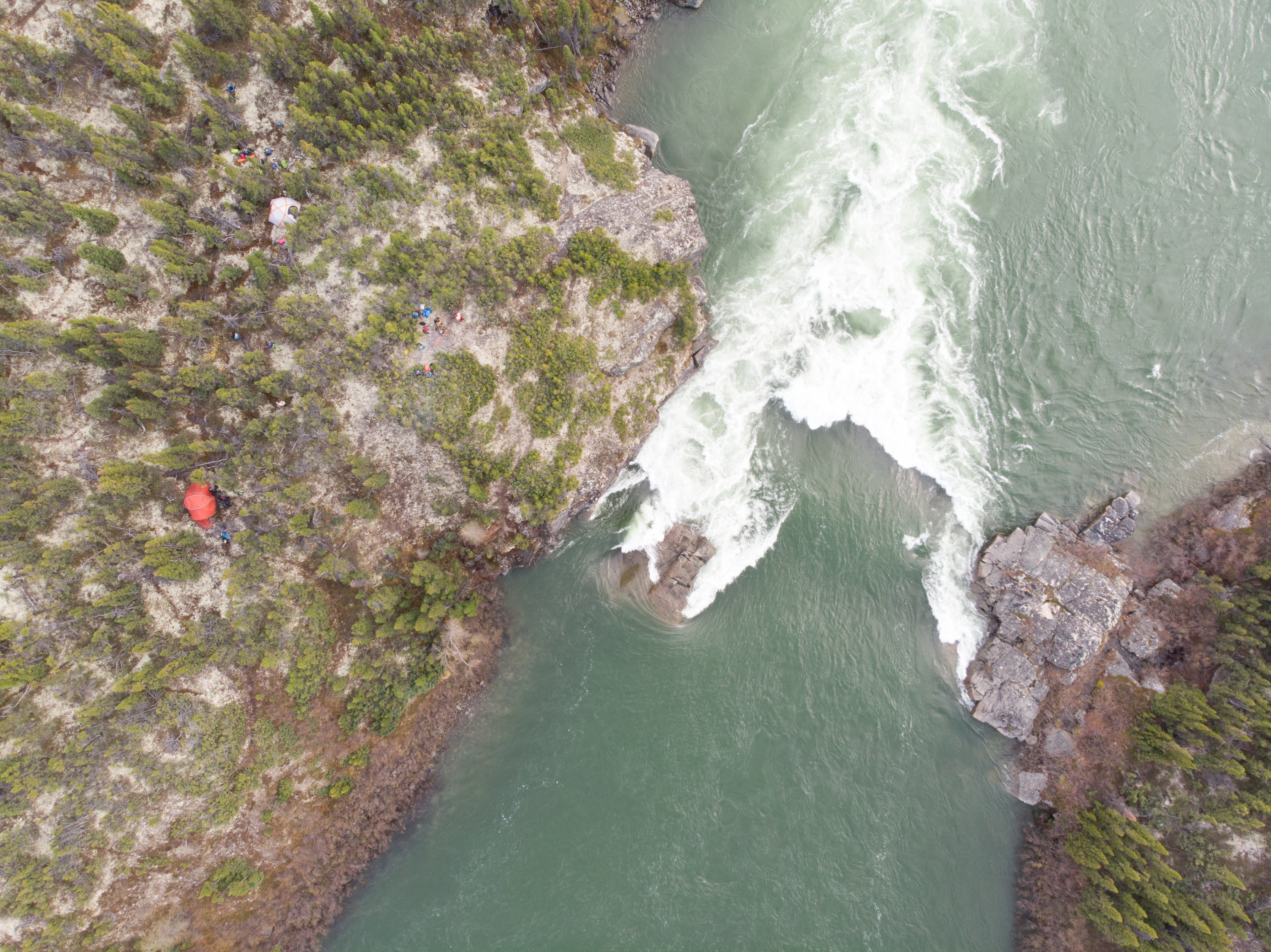
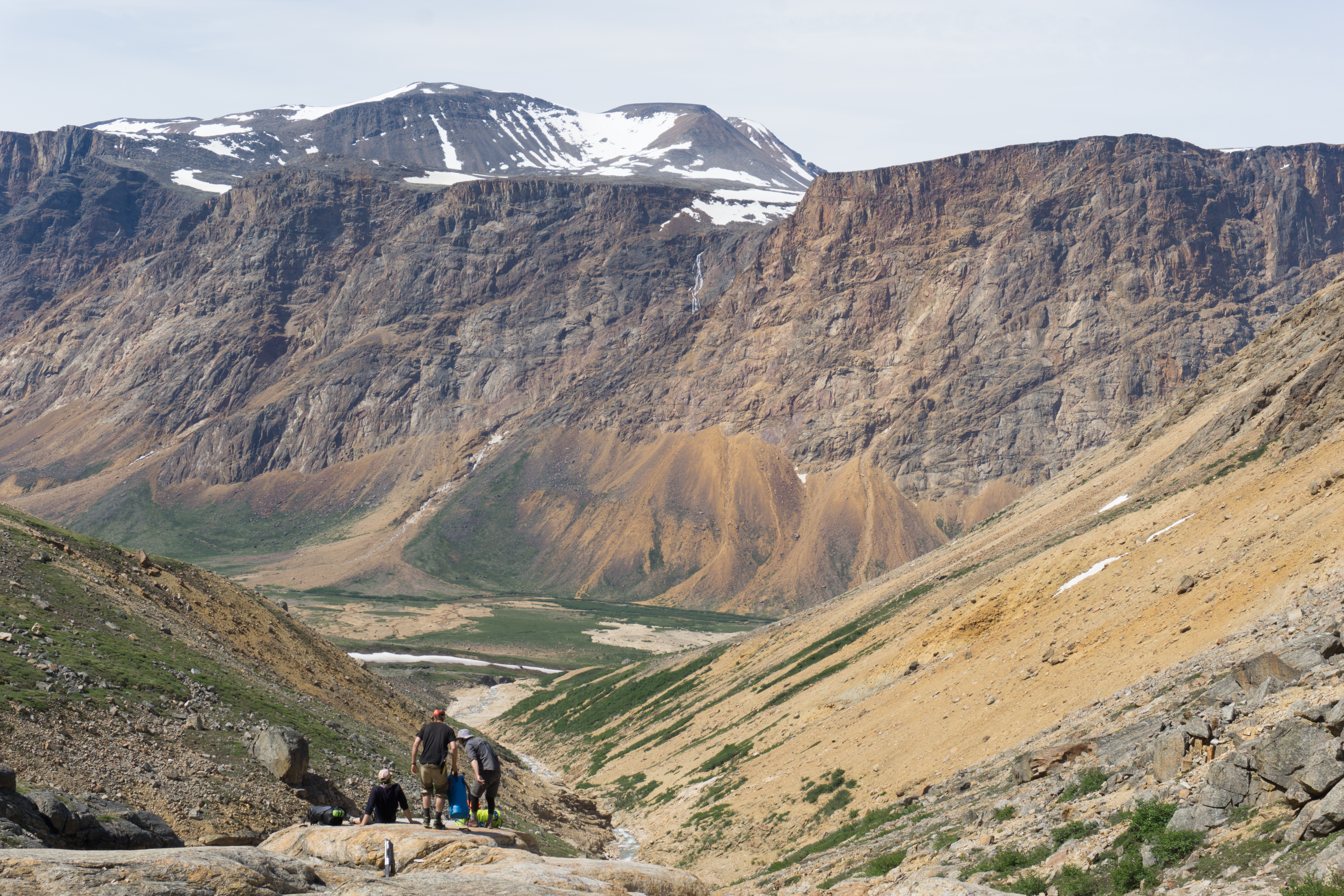
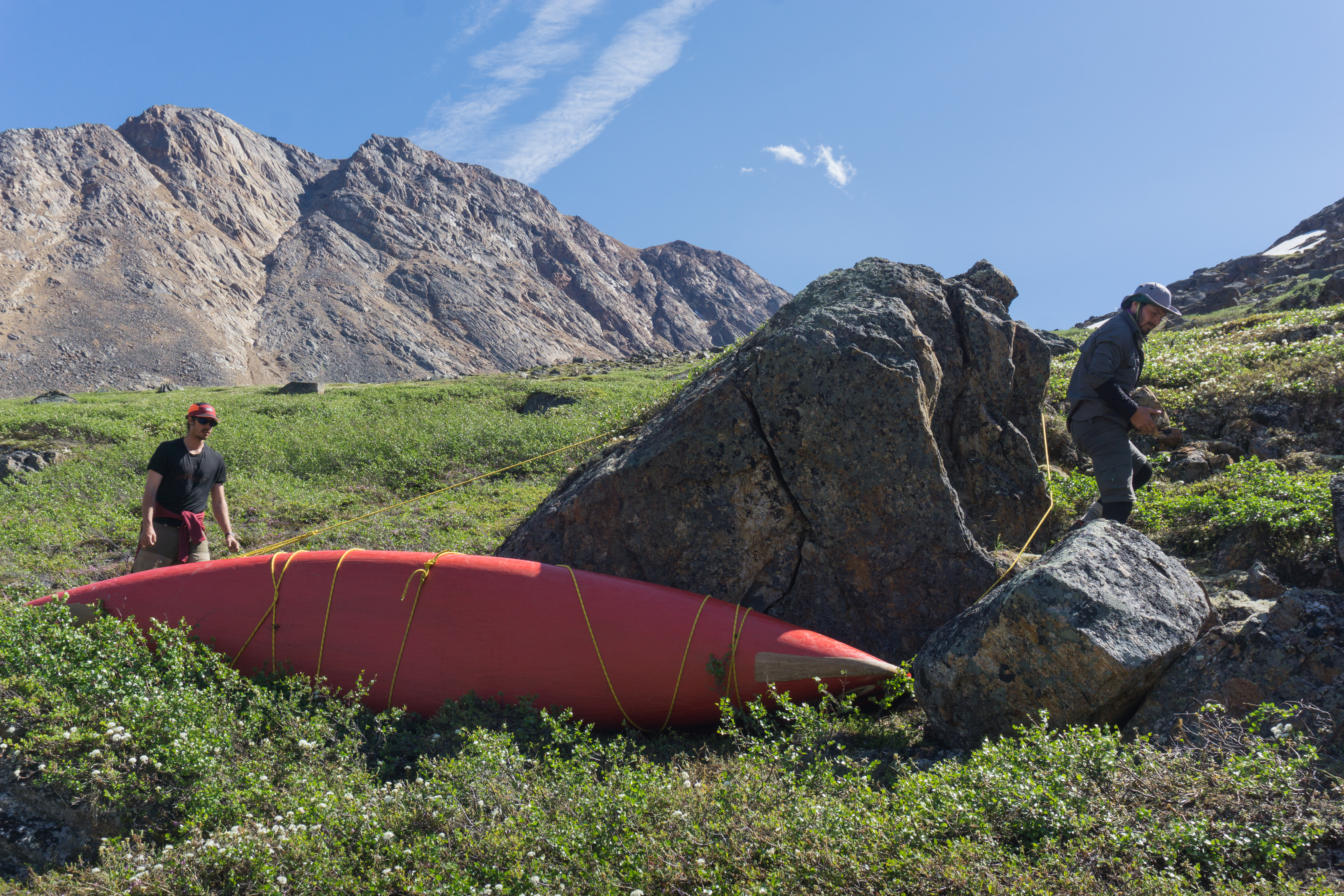
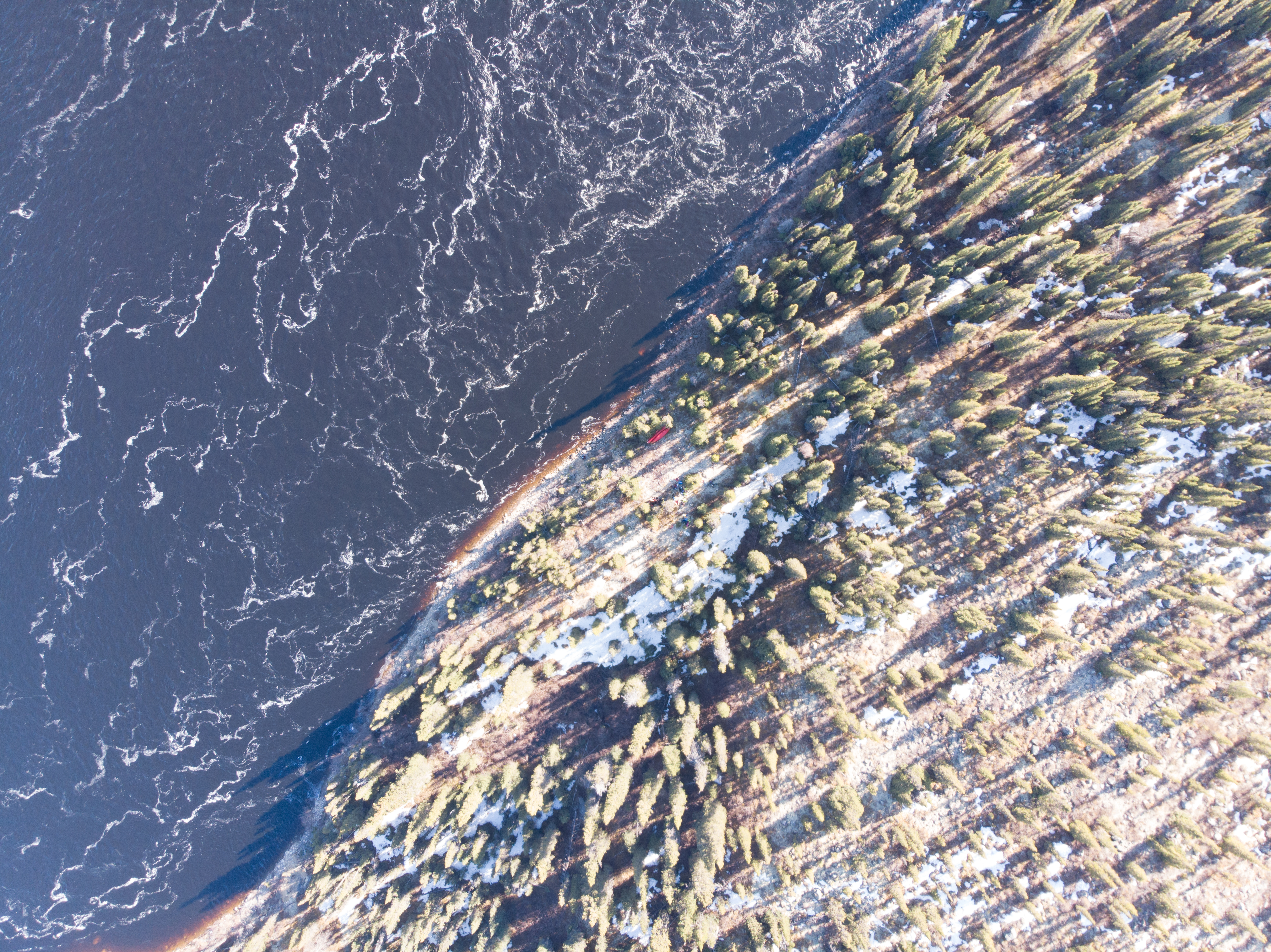
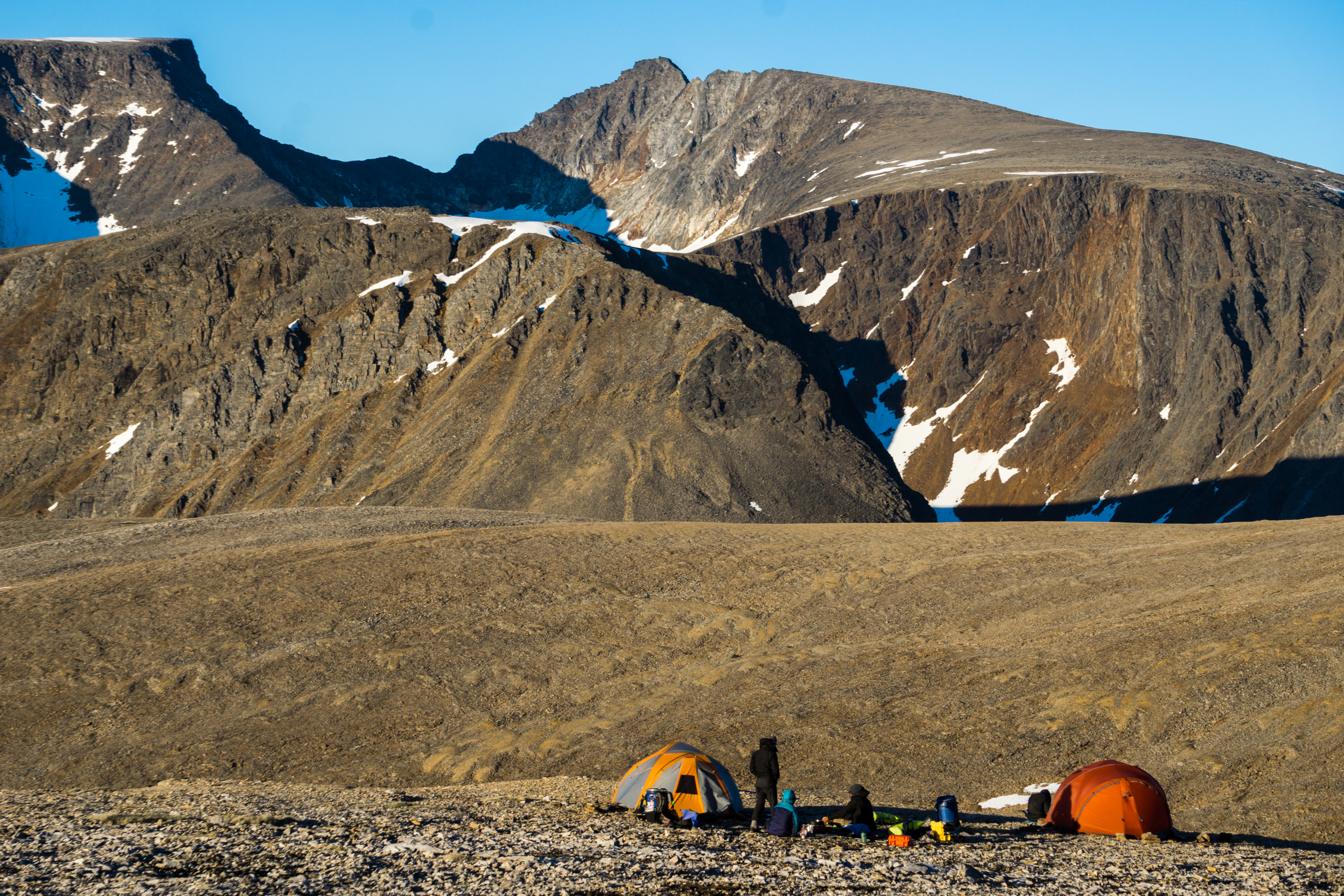
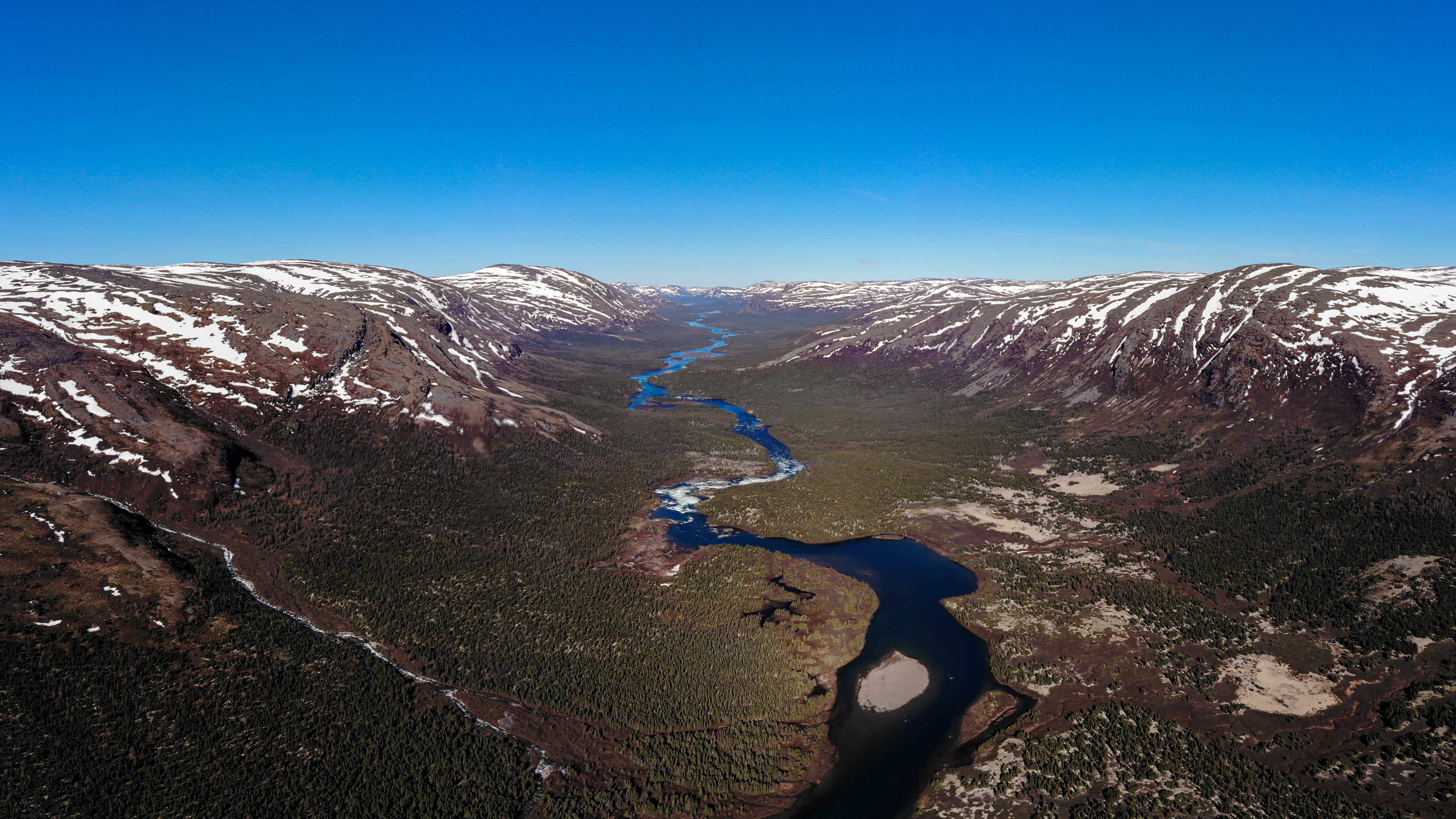
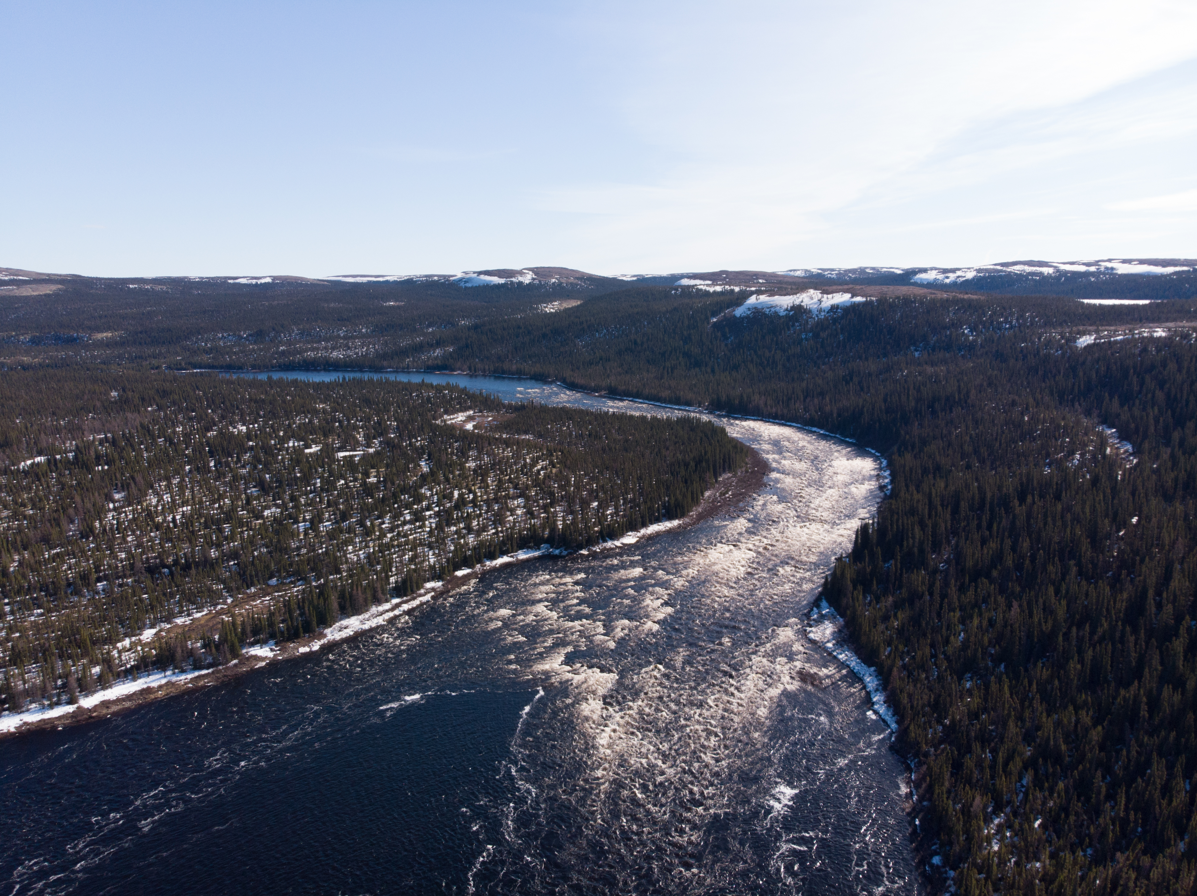
After reaching the Inuit village of Kangiqsuallujjuaq, we set off upstream on the Korok River, which rises in the mysterious Torngat Mountains. As we set foot on the river bank, we could see the last of the ice floes breaking off and drifting away in the current, towards the river’s mouth in Ungava Bay. Our timing was ideal. We had a free run up the river for 130 km, until we had to change rivers: the tiny Palmer River, for which we found no other documented modern descent. We took the opportunity to map the river and share it freely.

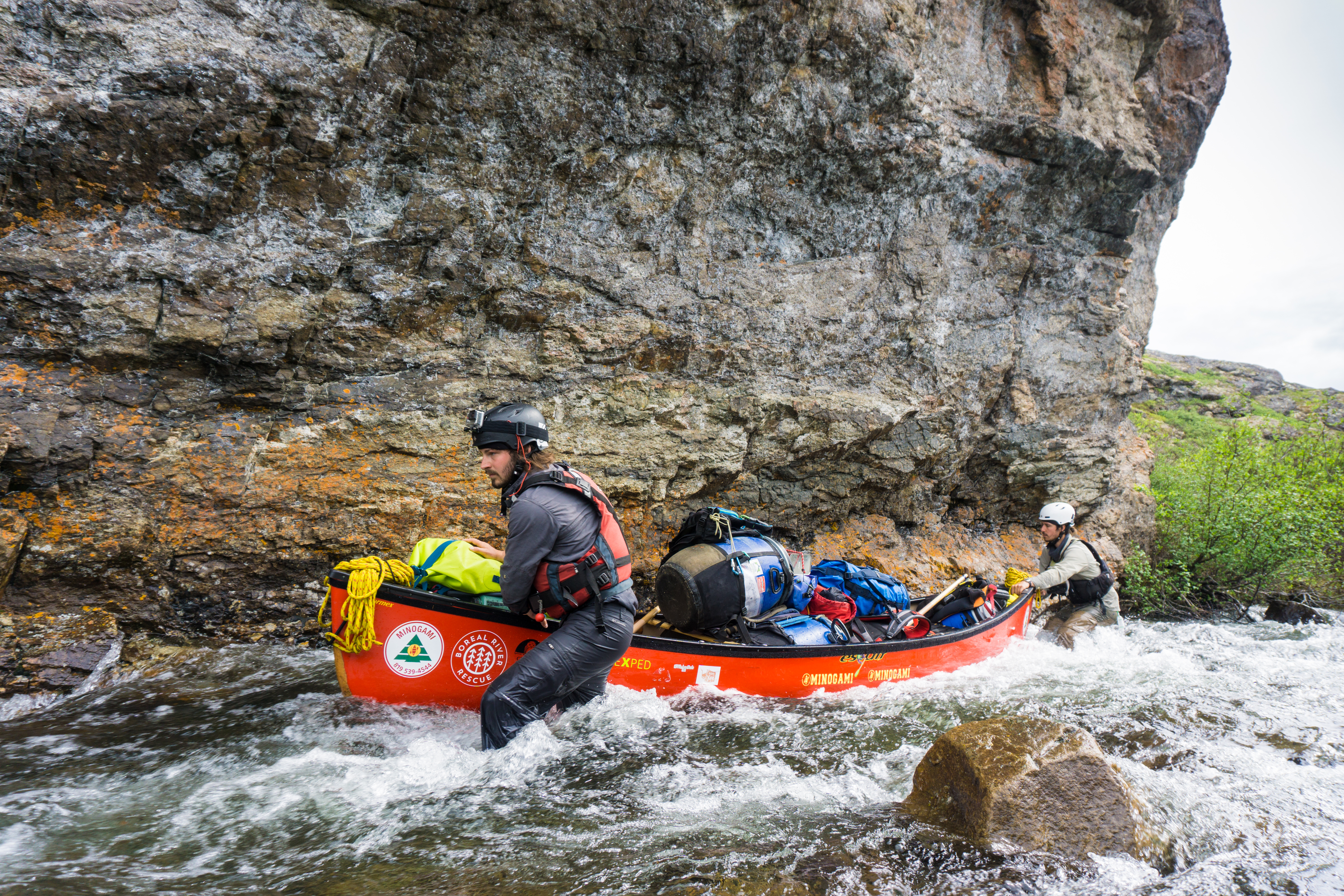
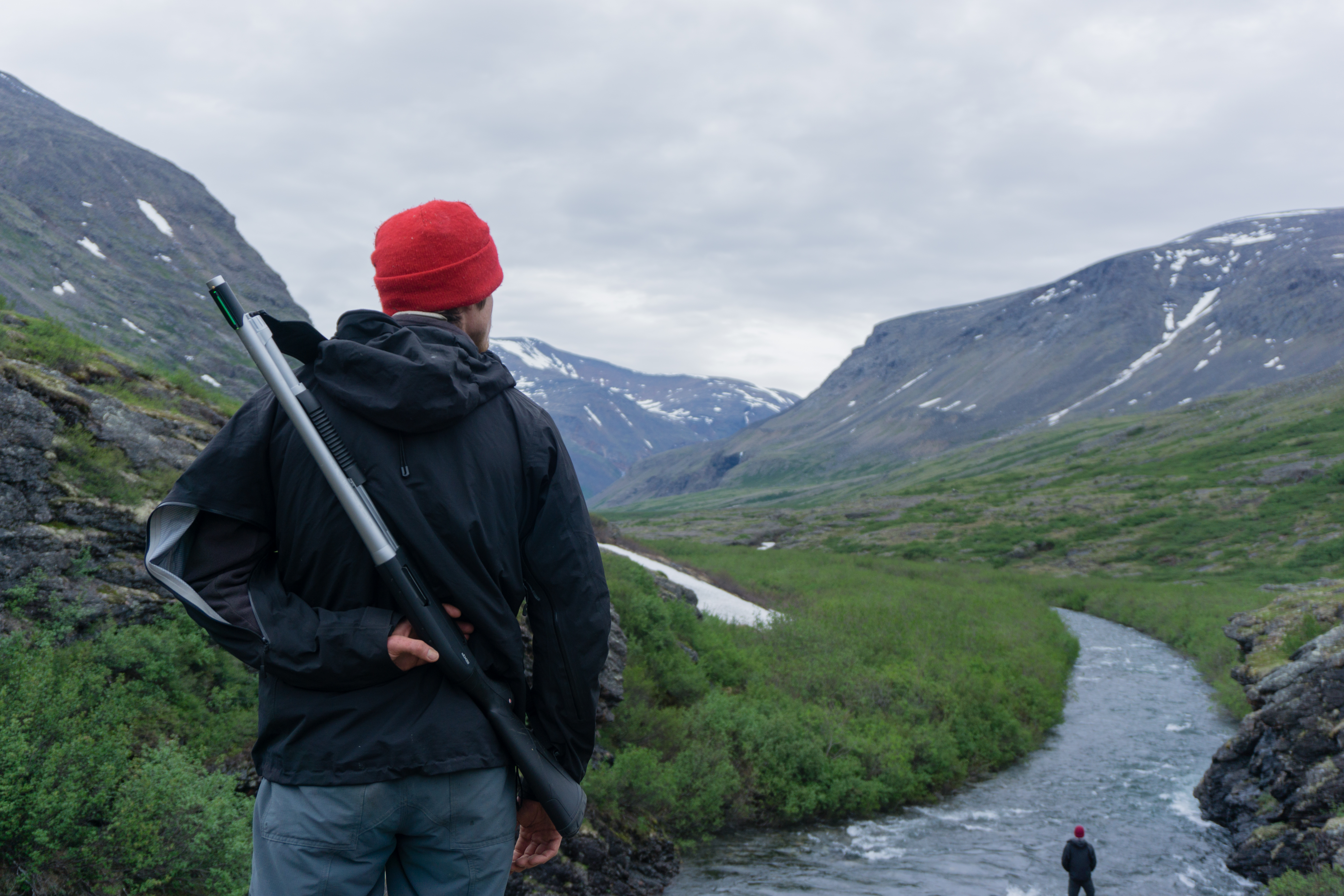
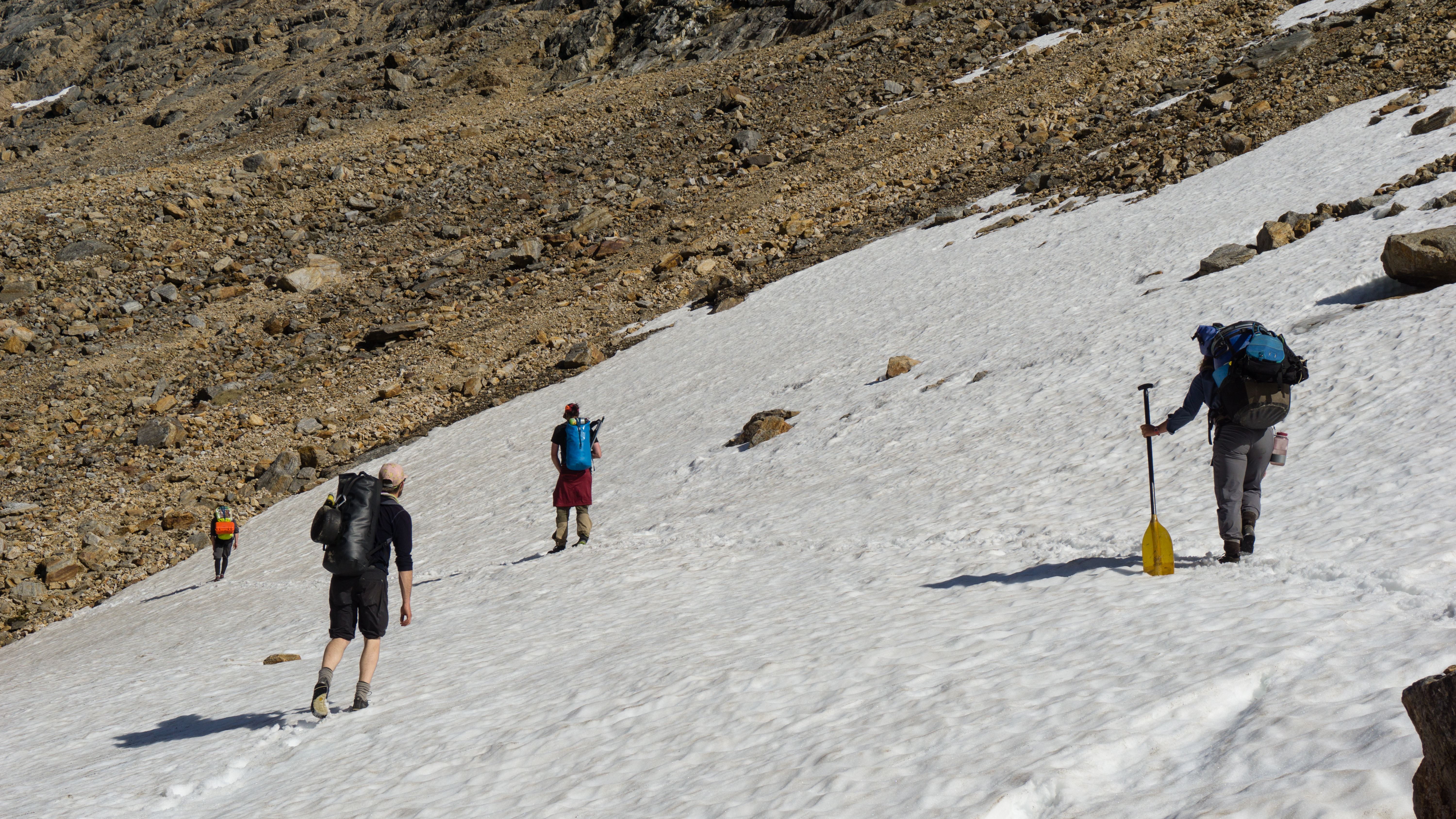
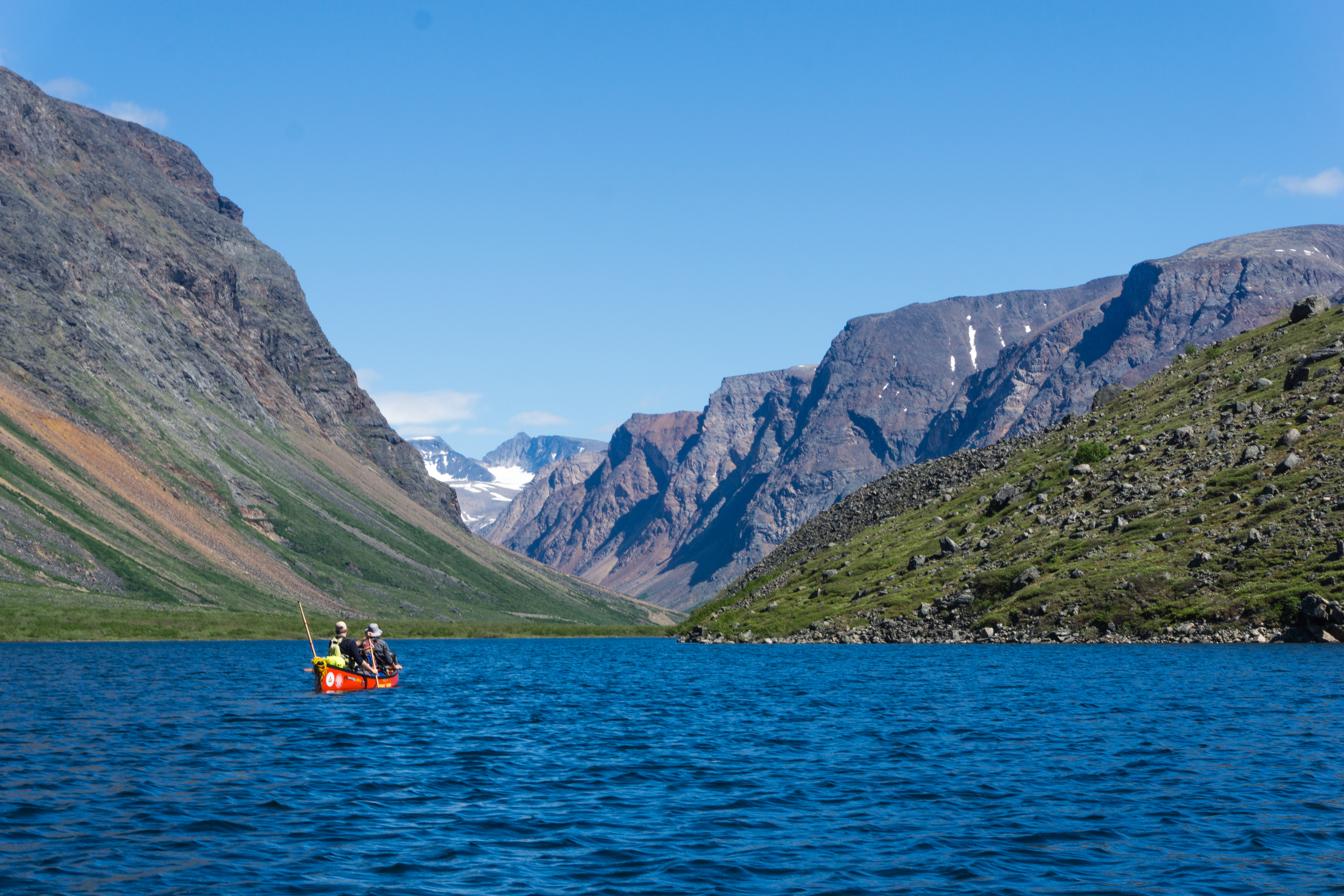
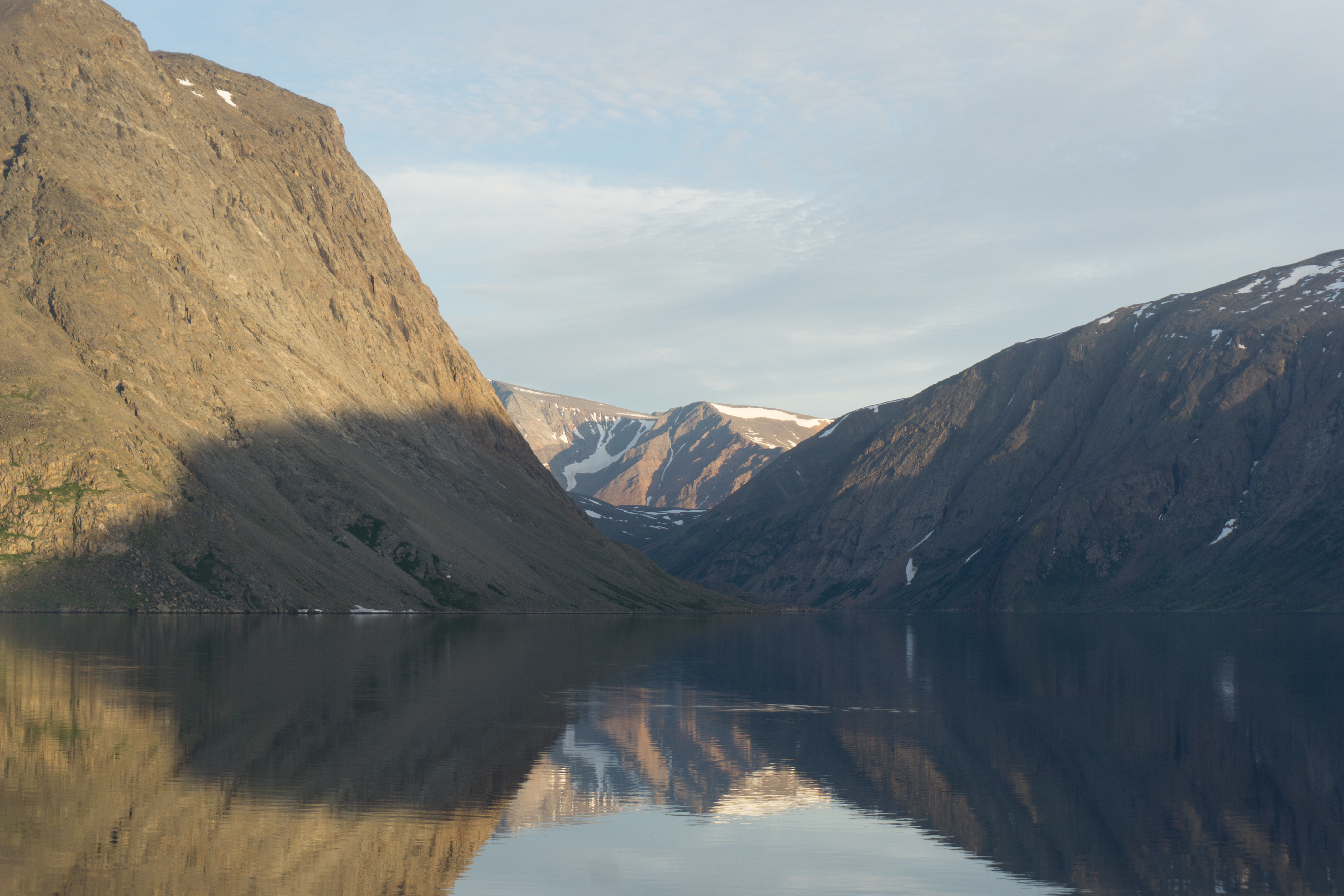
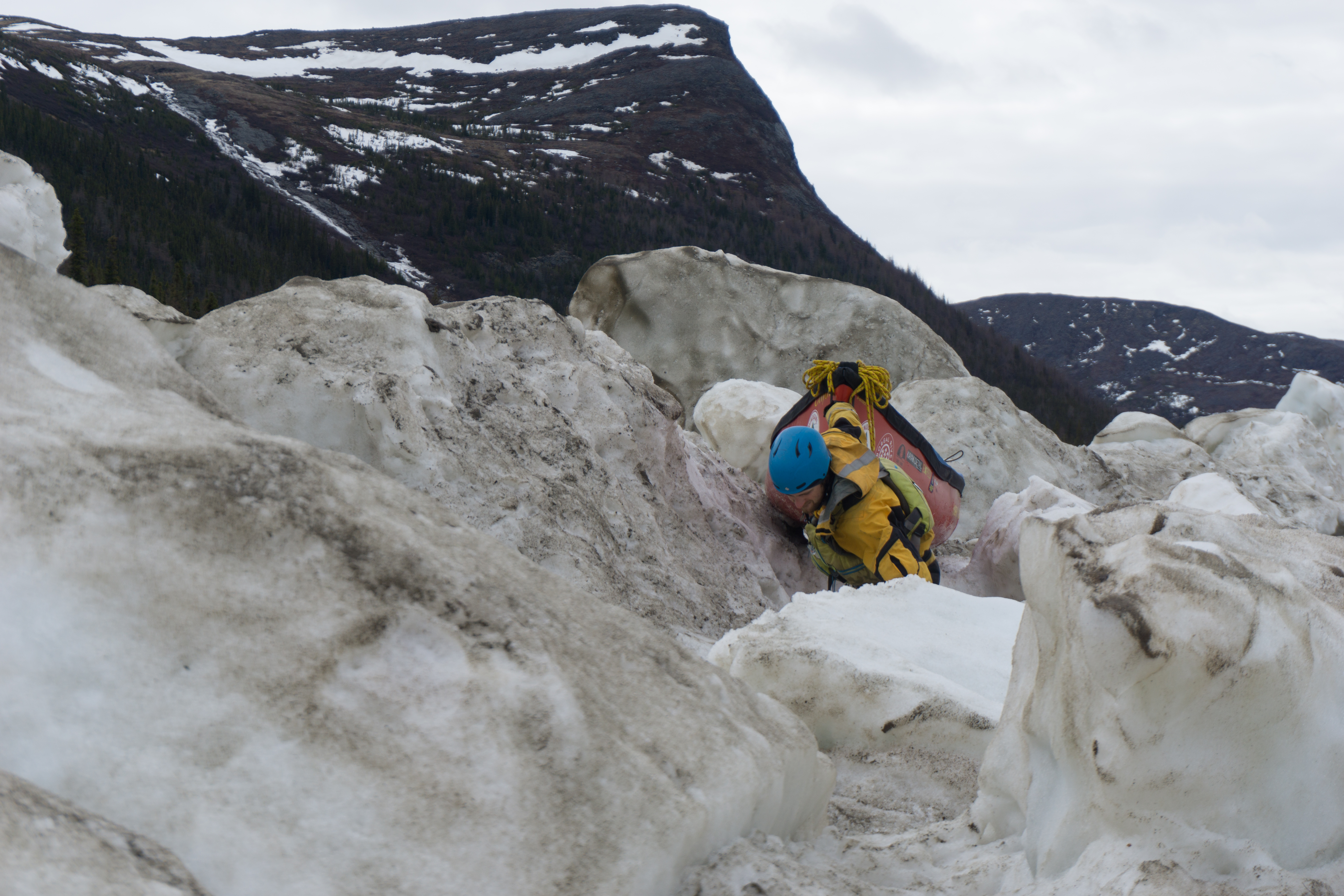
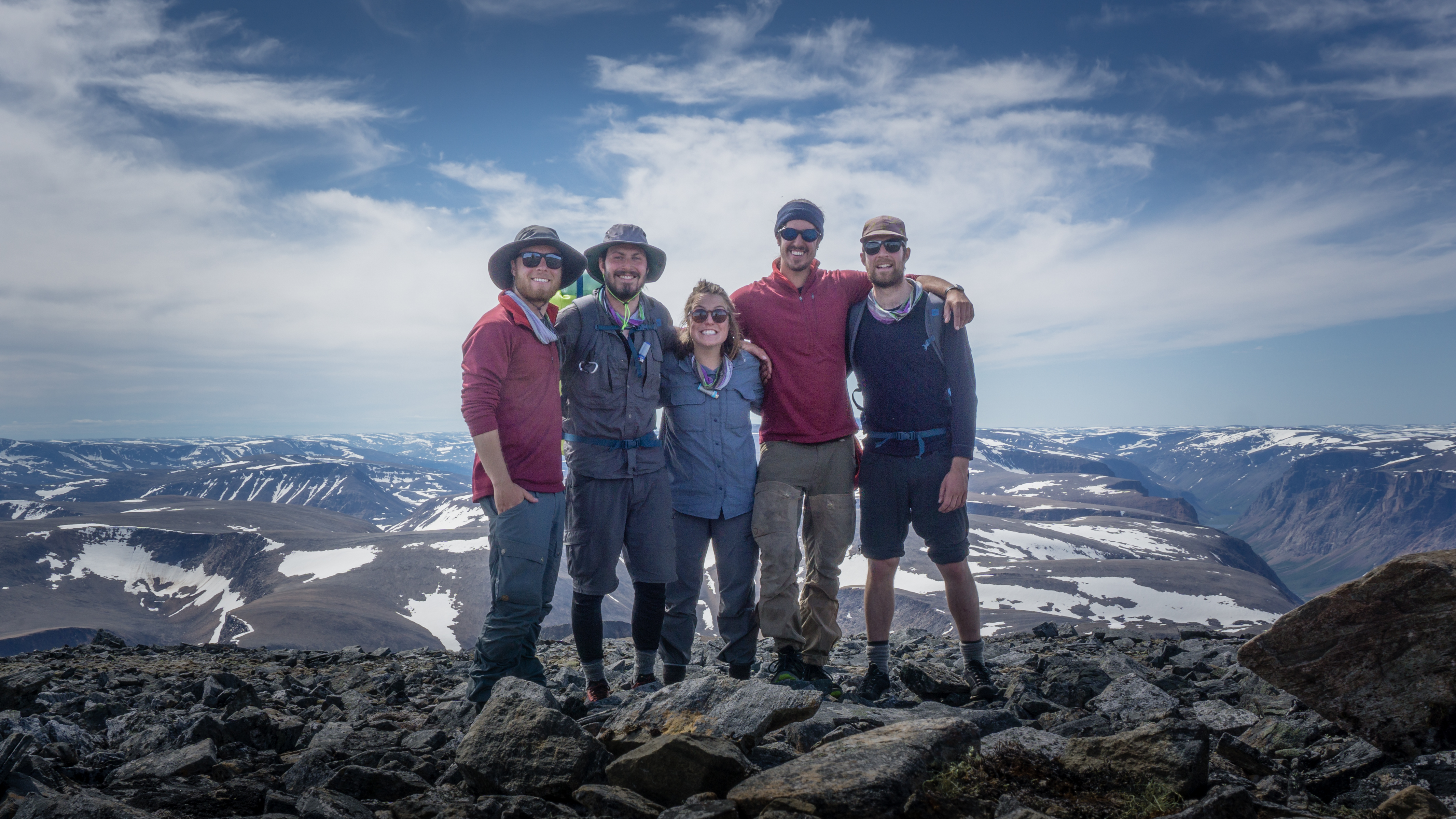
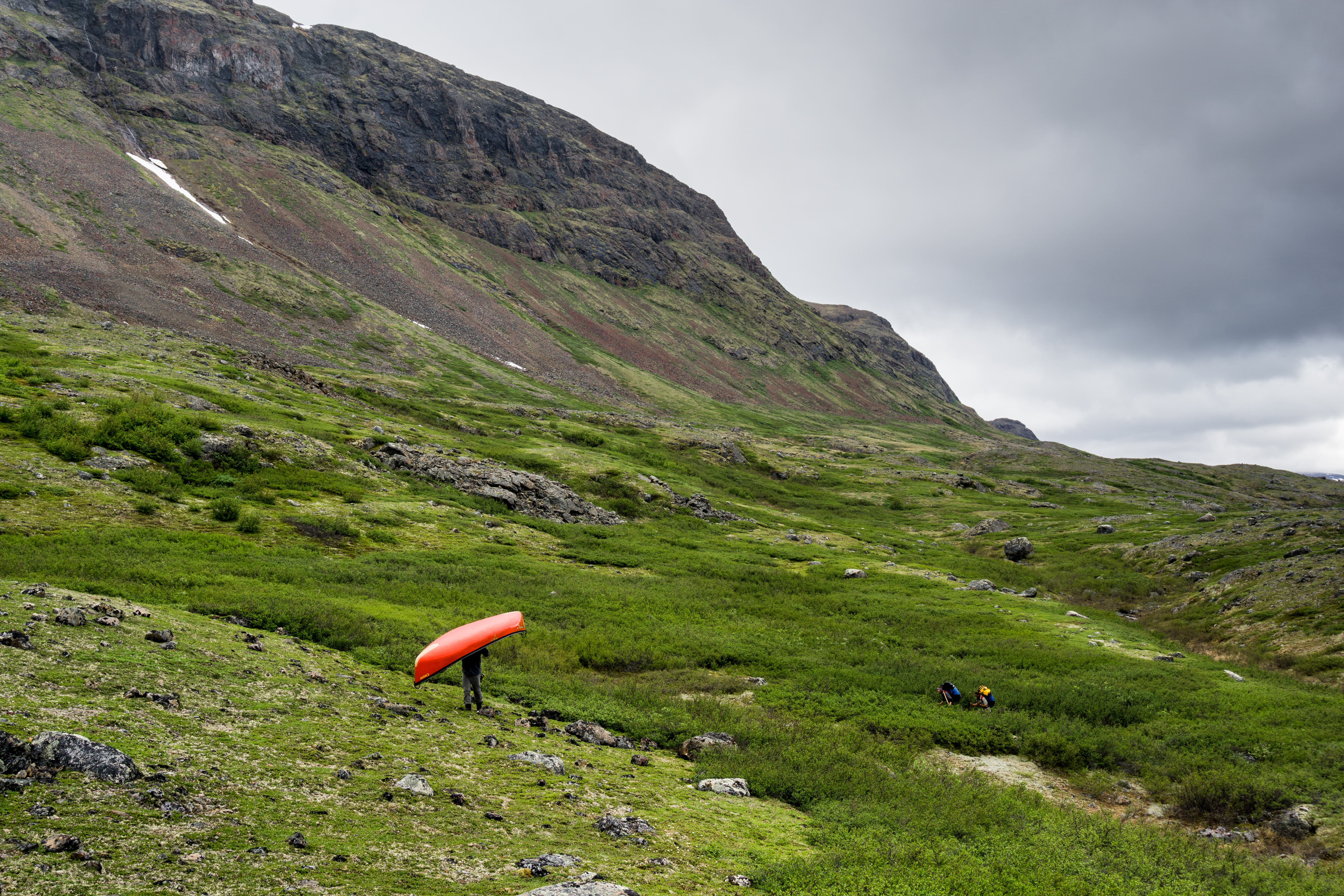
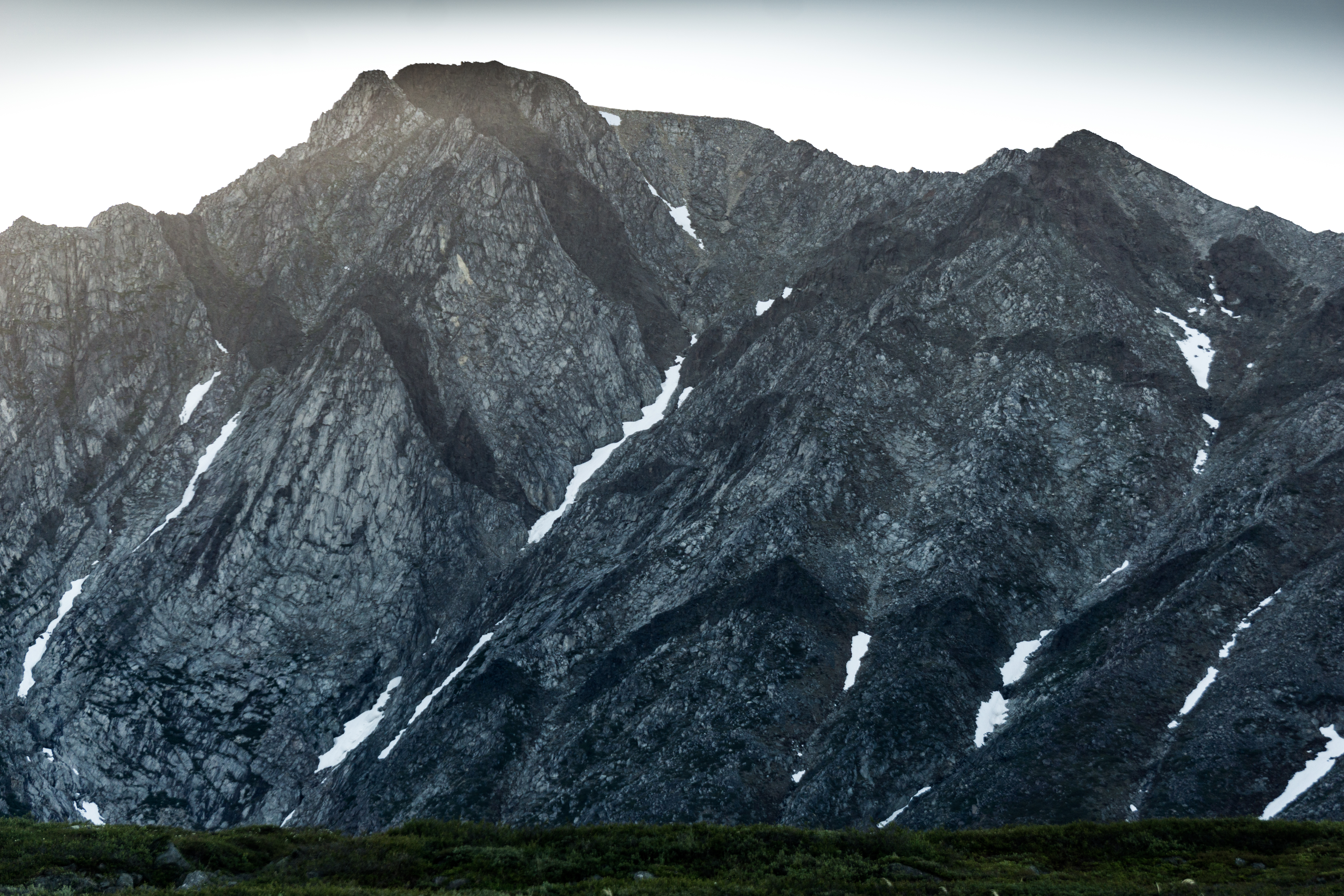
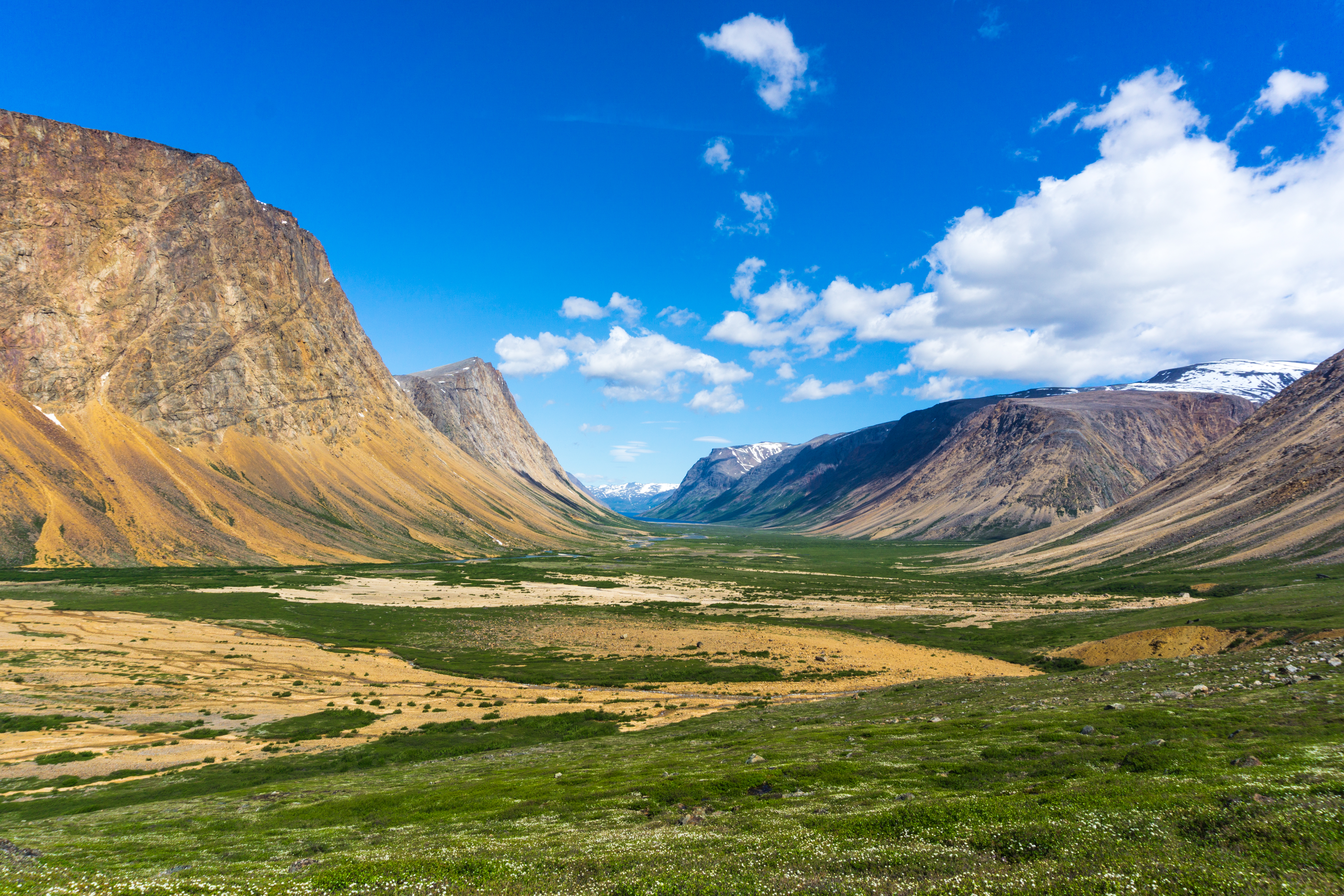
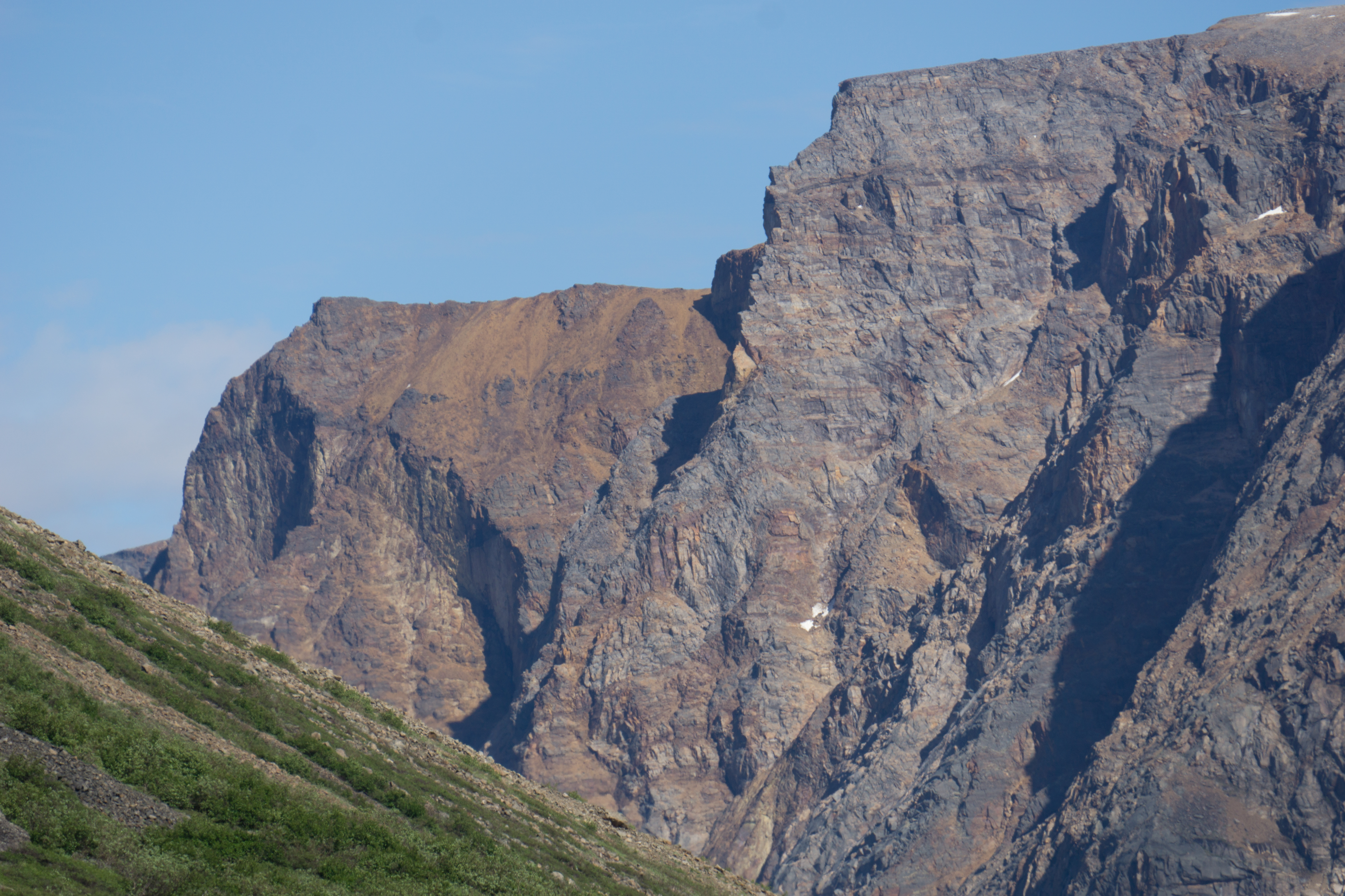
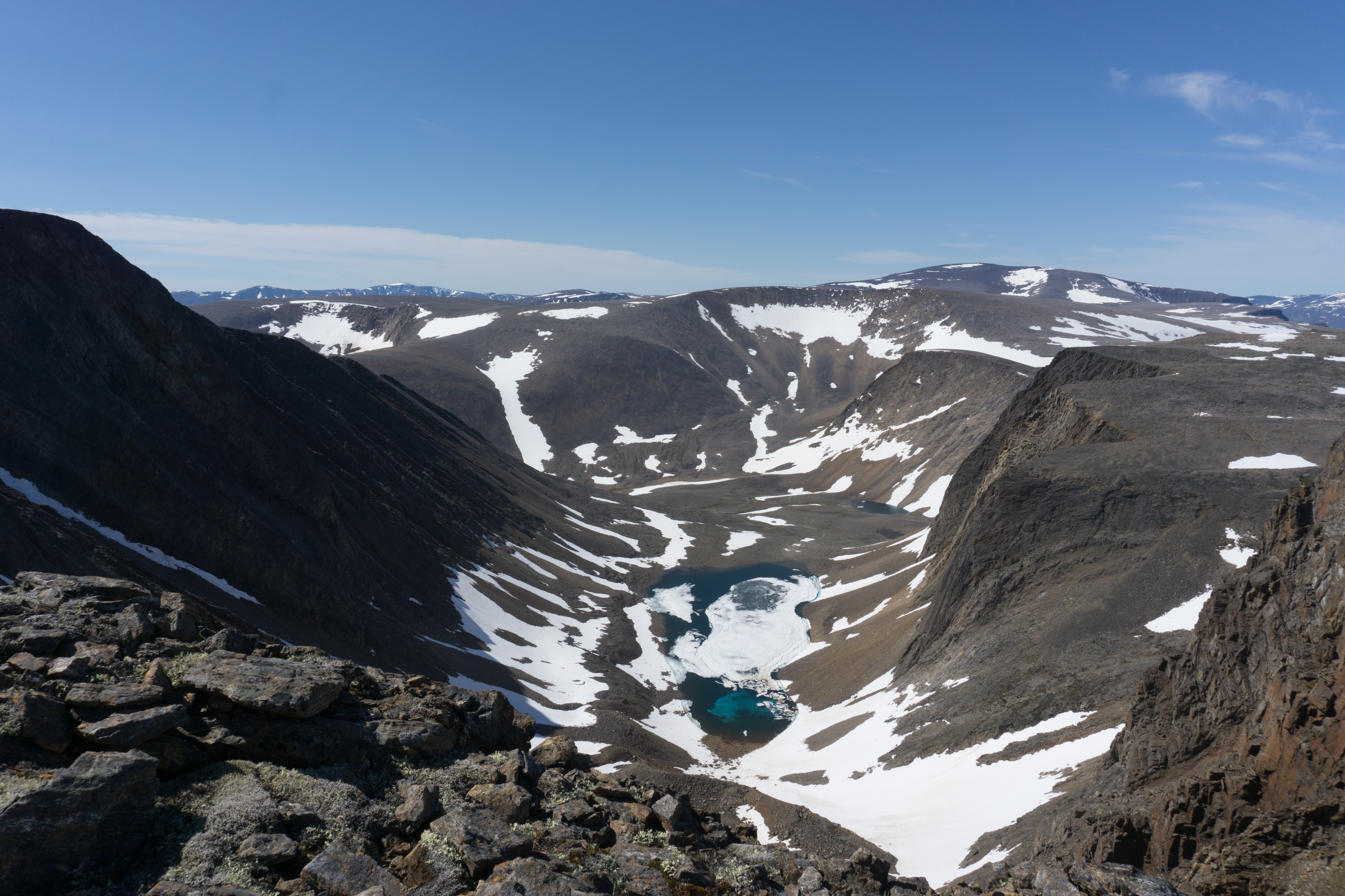
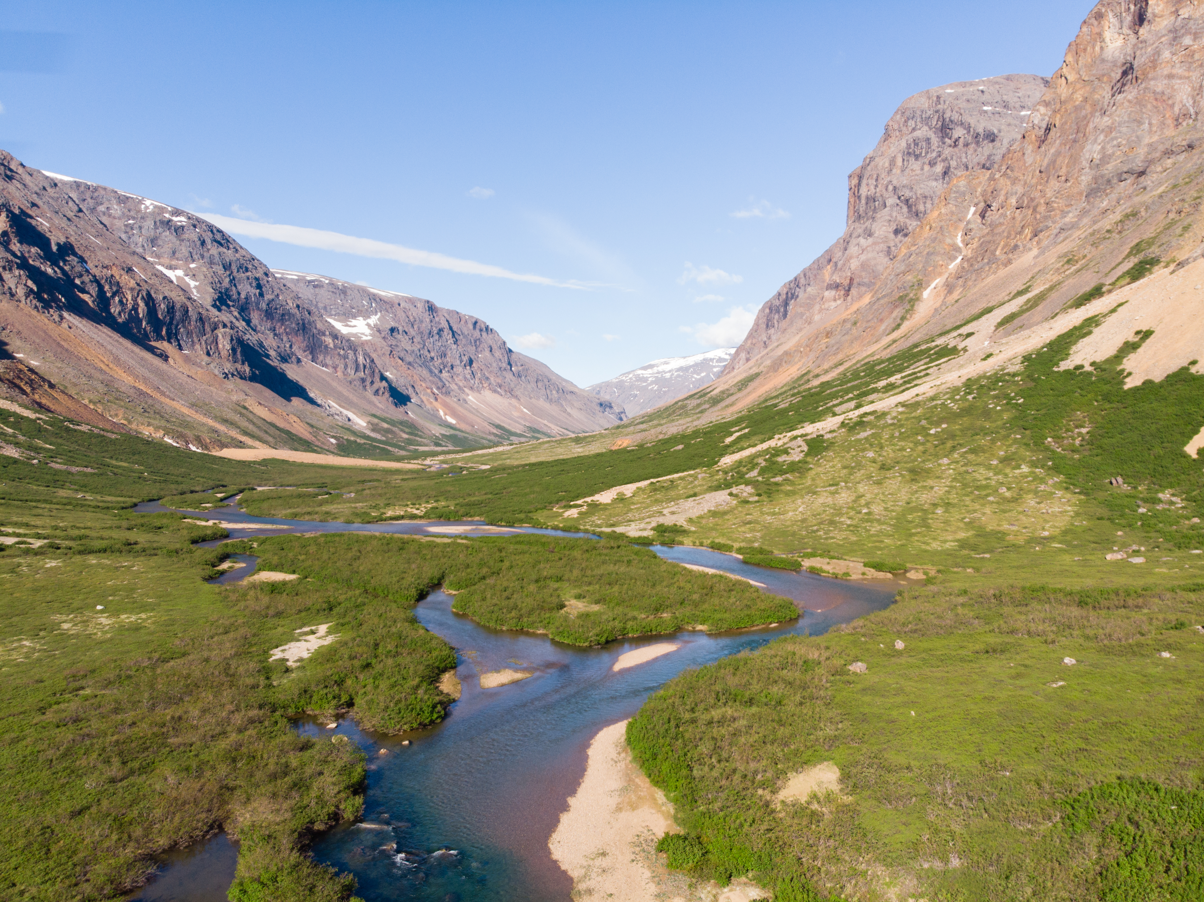
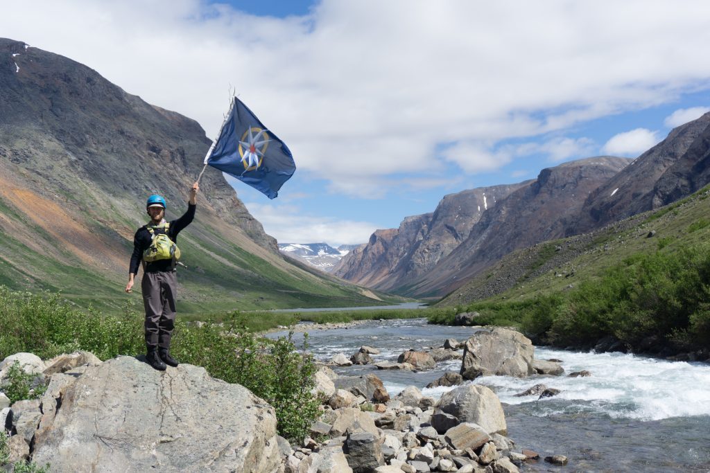
The Palmer River flows through the heart of the Torngat Mountains and brought us directly to the foot of Mont d’Iberville, Quebec’s highest peak at 1650 m altitude. After a 2-day approach trek, we ascended the summit in impeccable weather. Mont d’Iberville dominates the Torngat Mountains, whose spectacular beauty was our motivation for undertaking this singular journey. Our goal for the expedition had been reached, but it wasn’t the end yet. A final – and daring – leg awaited us before returning home.
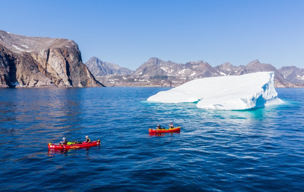
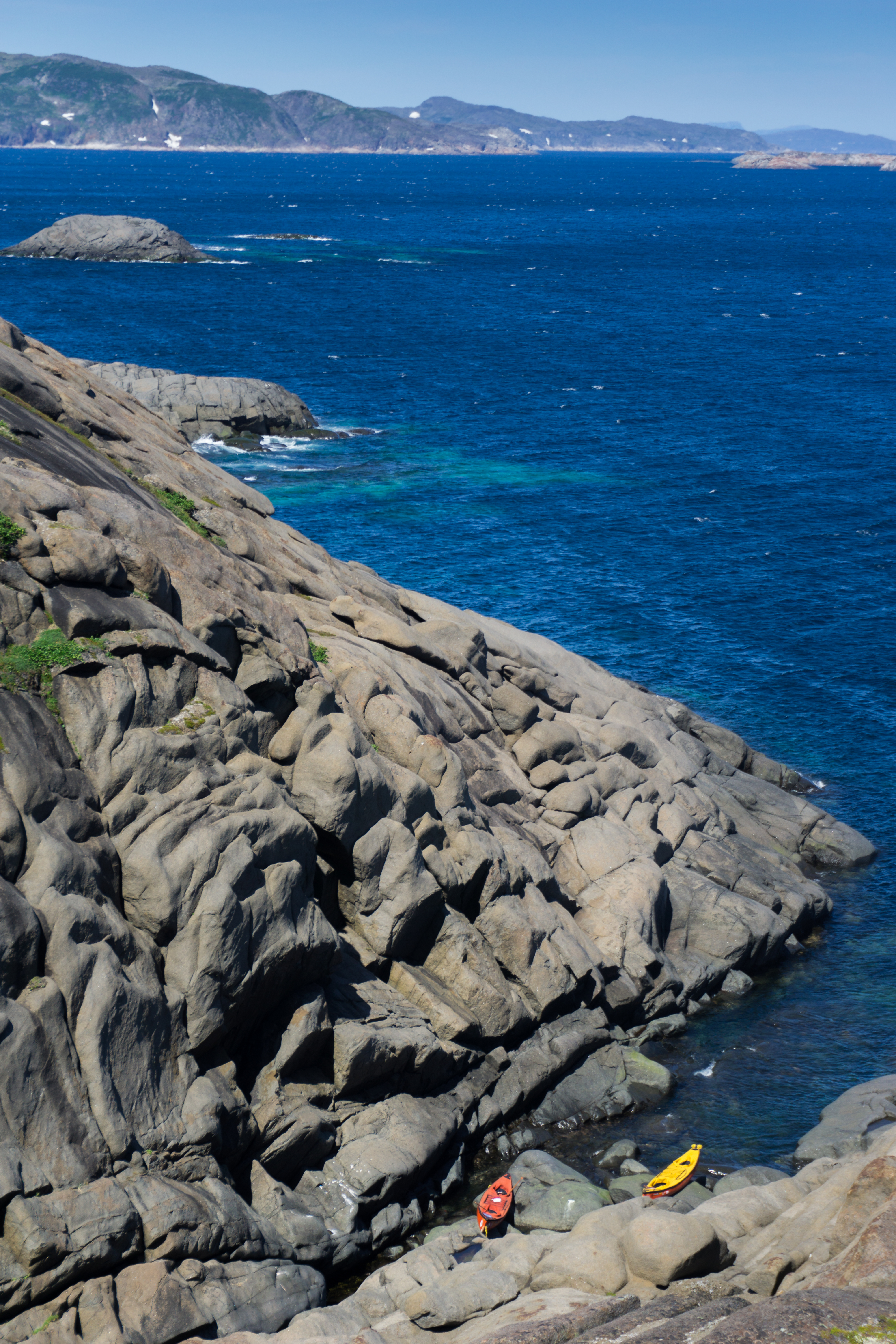
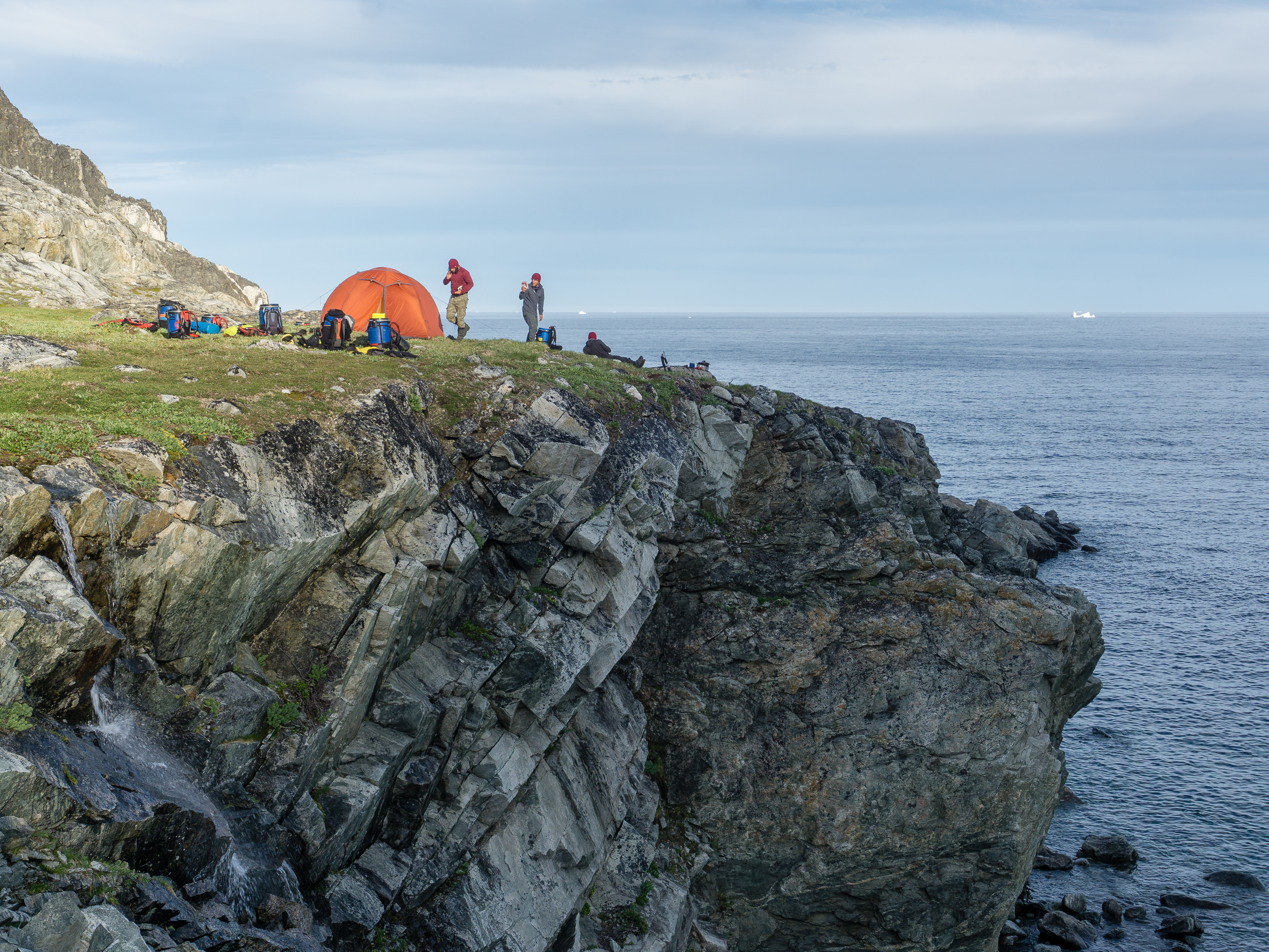
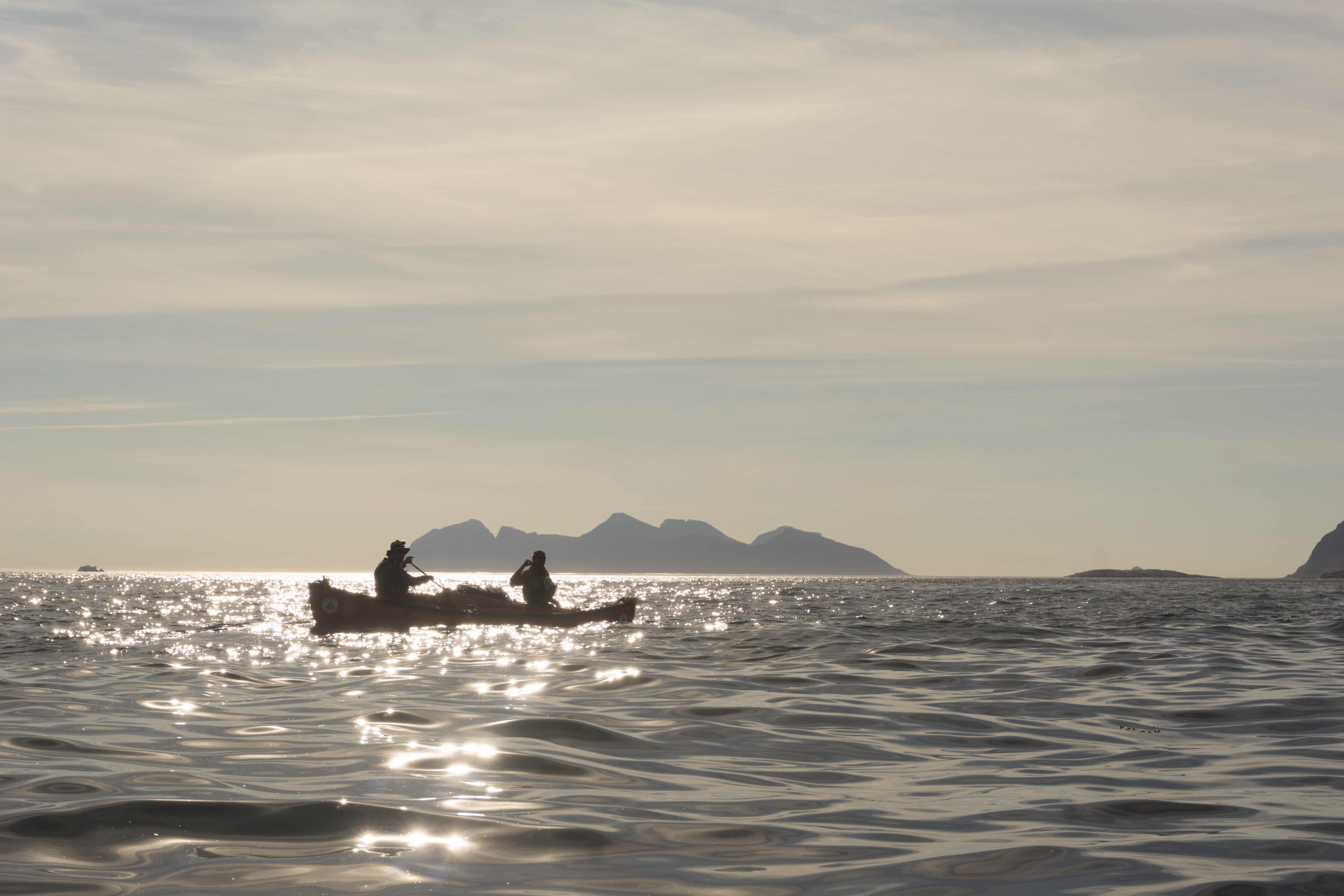
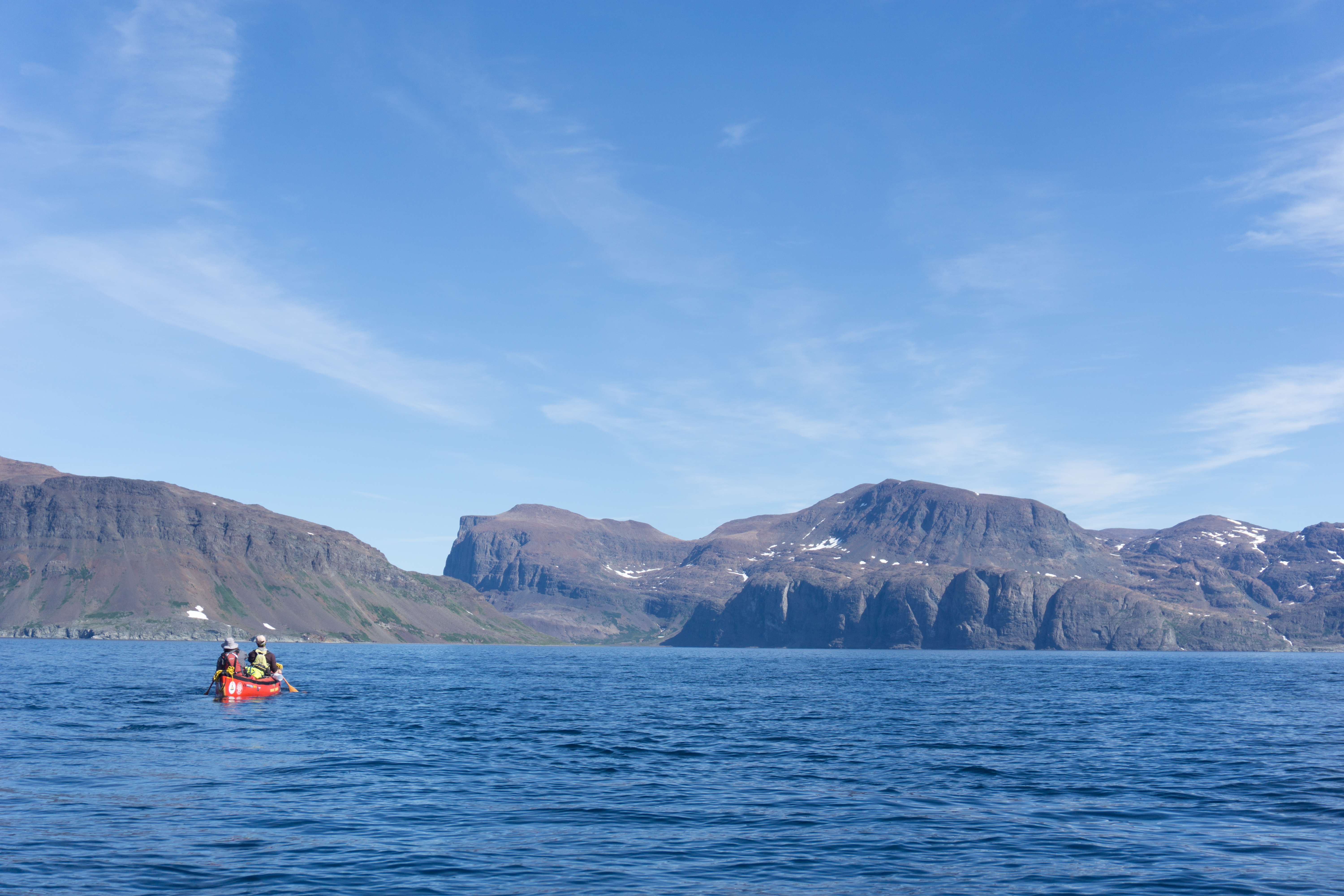
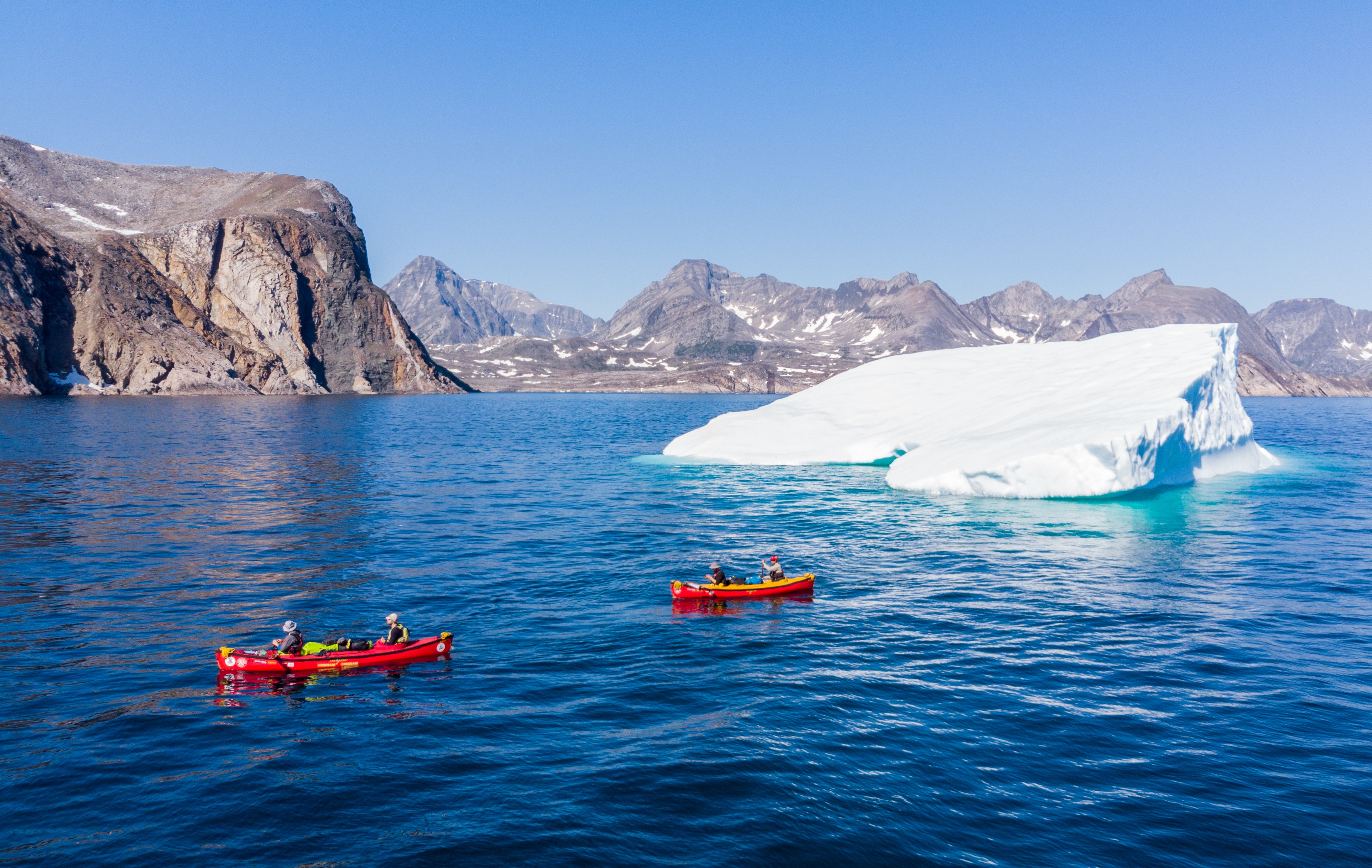
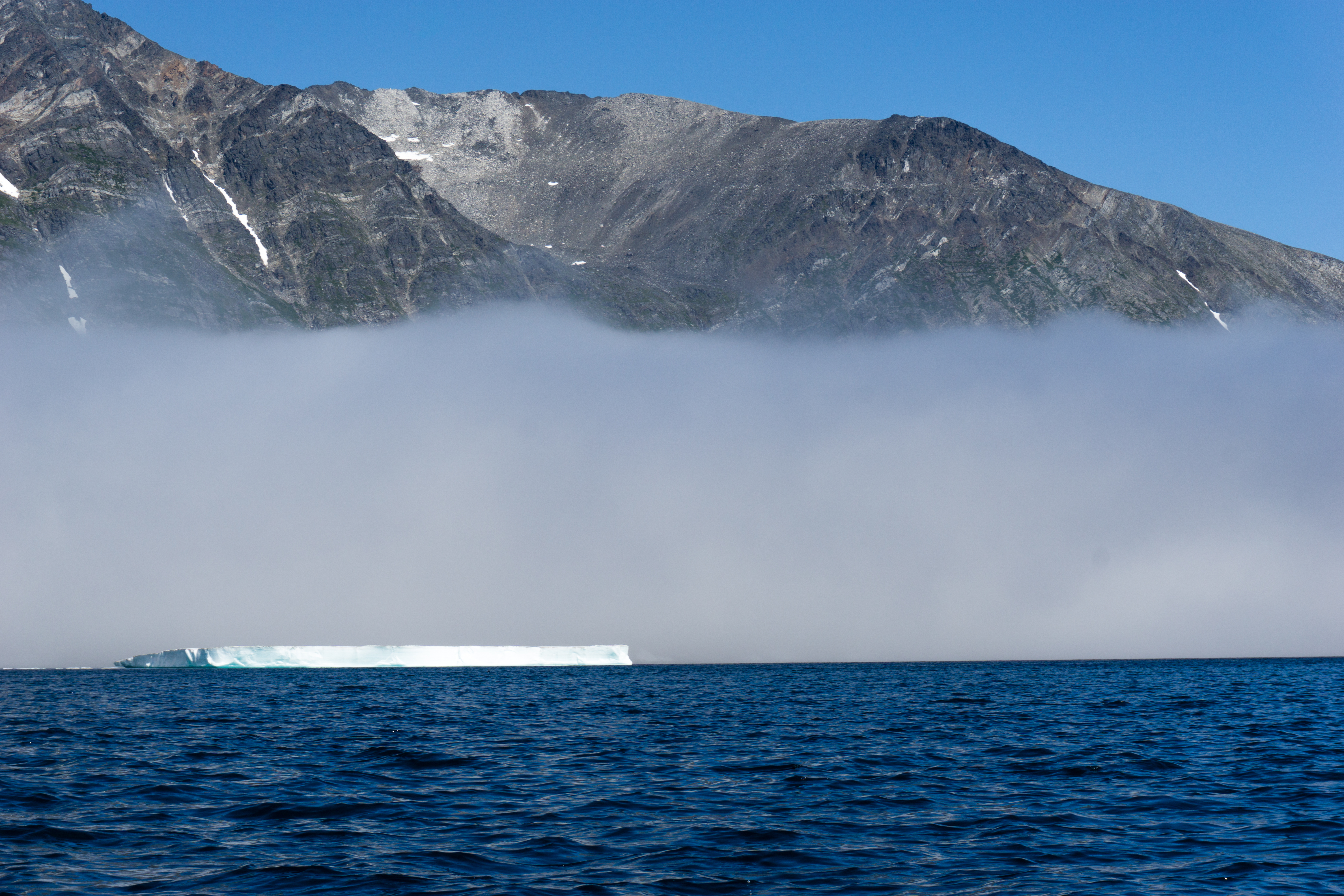
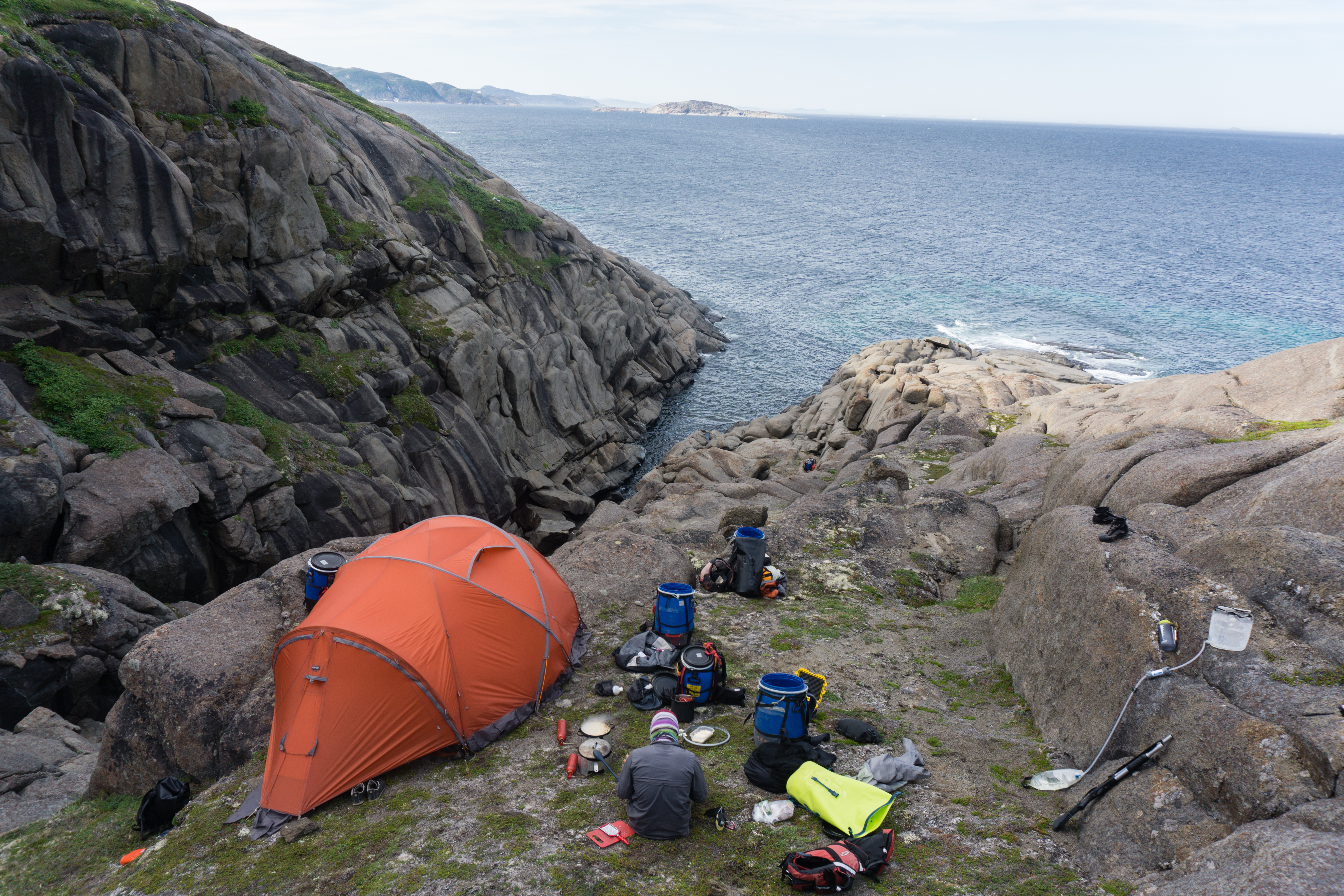
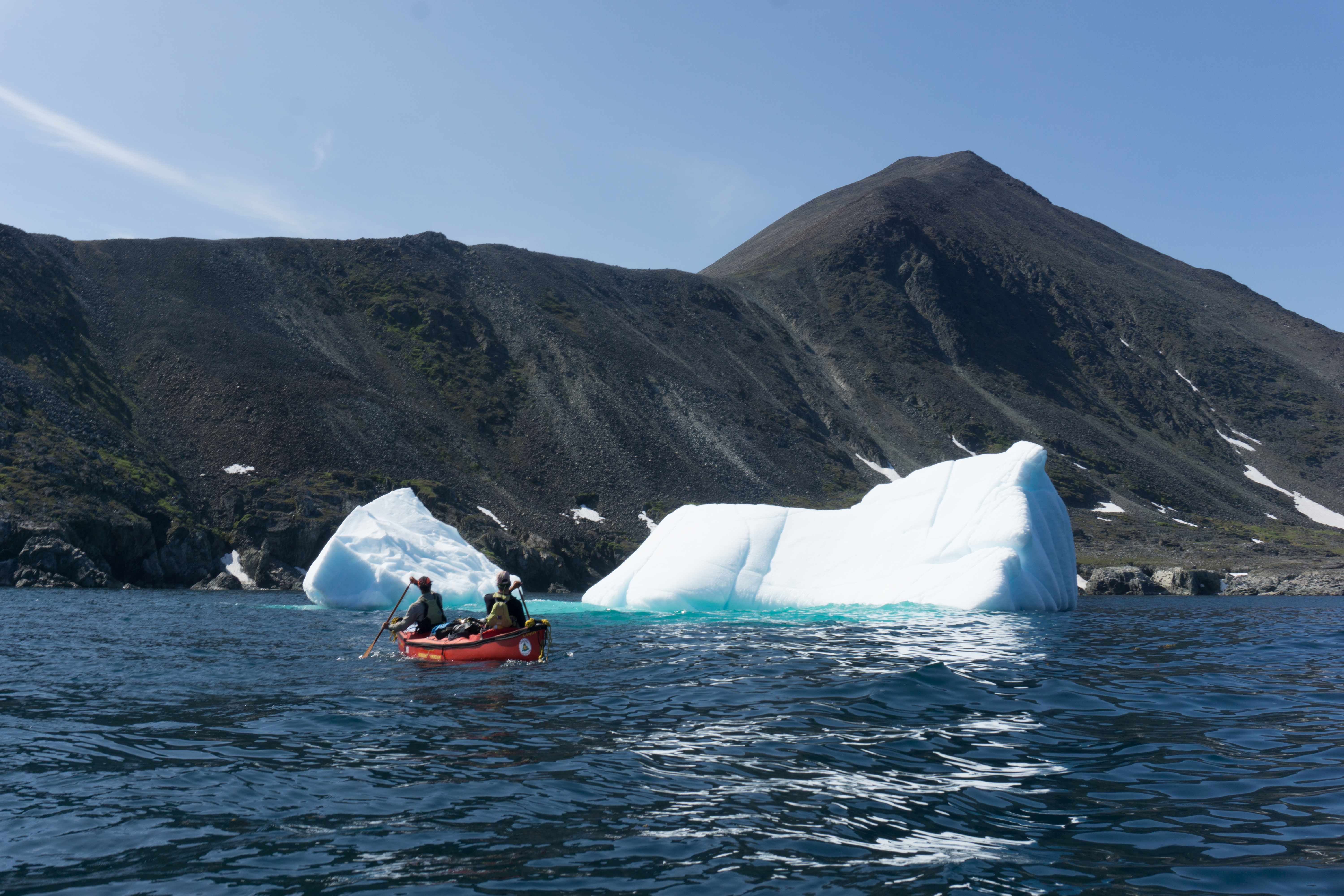
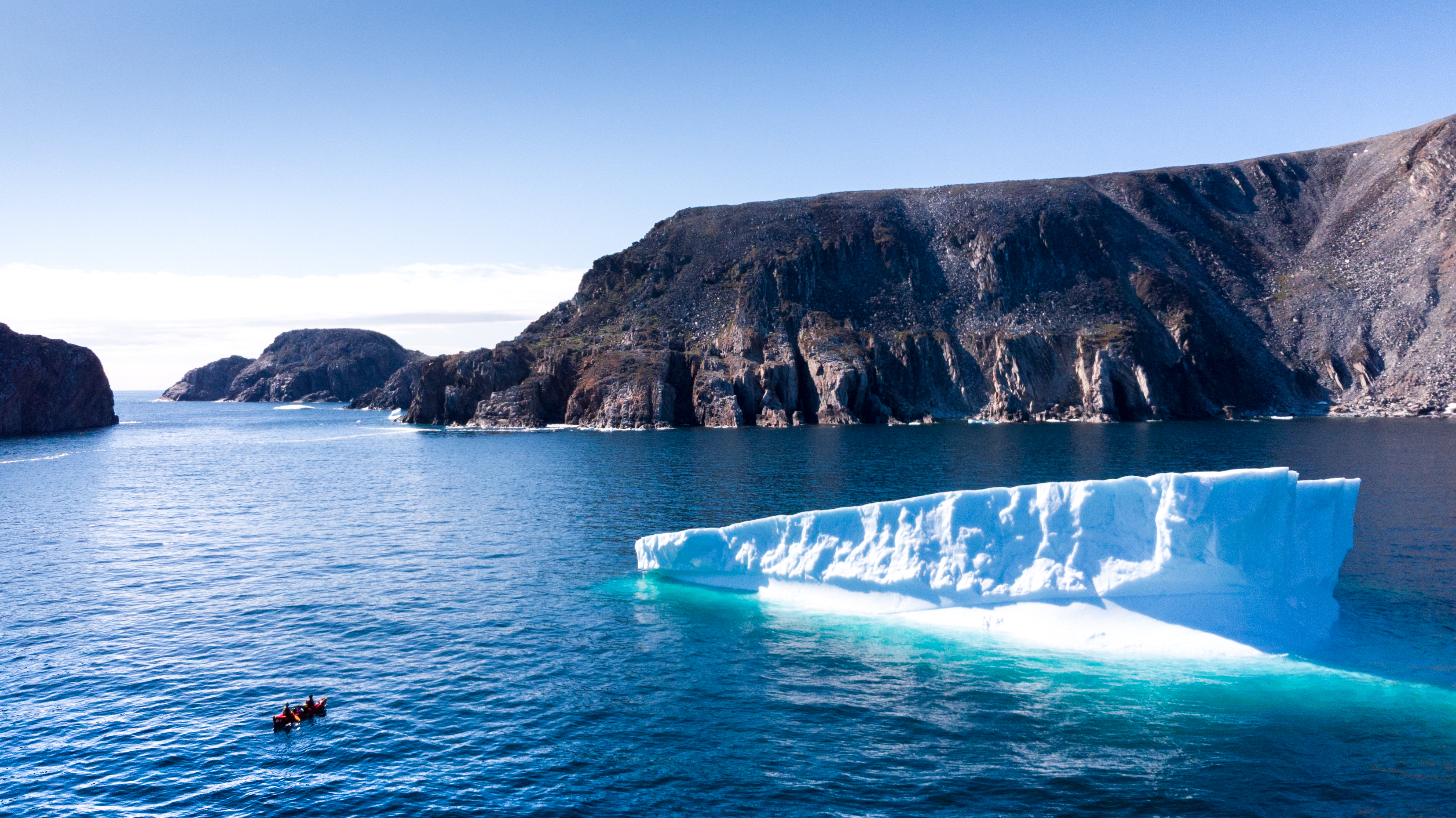
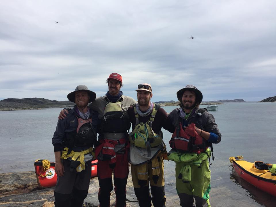
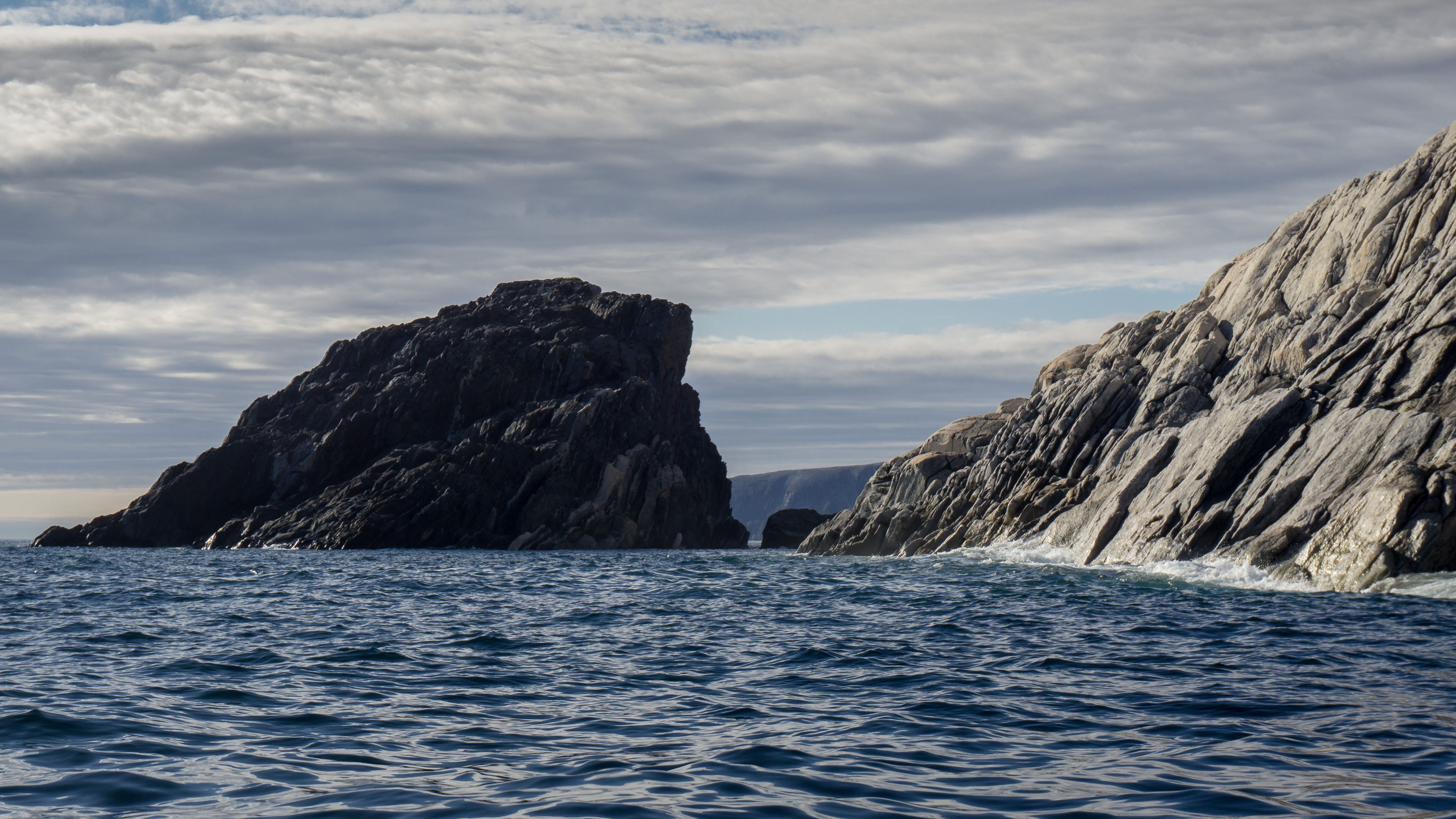
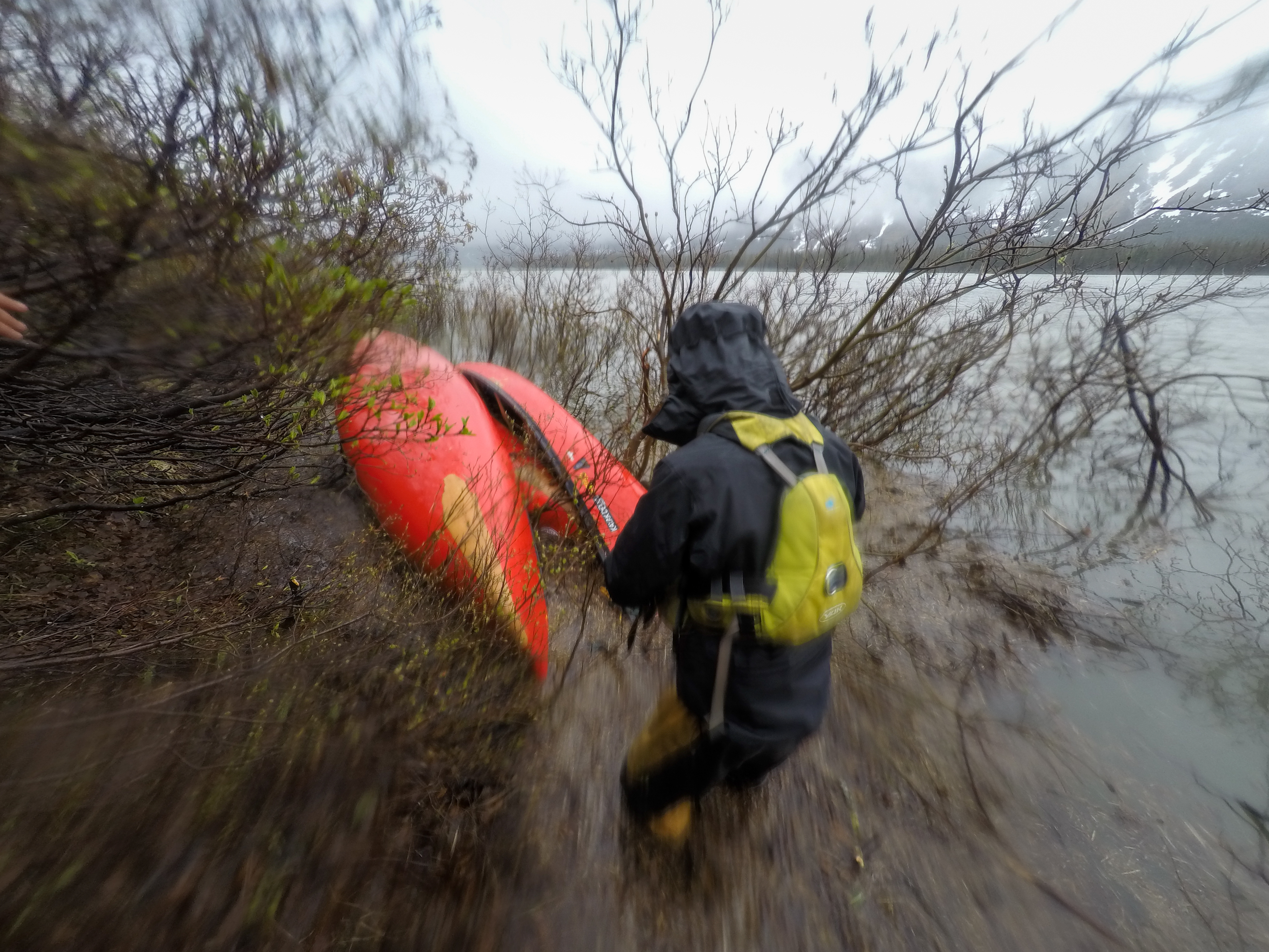
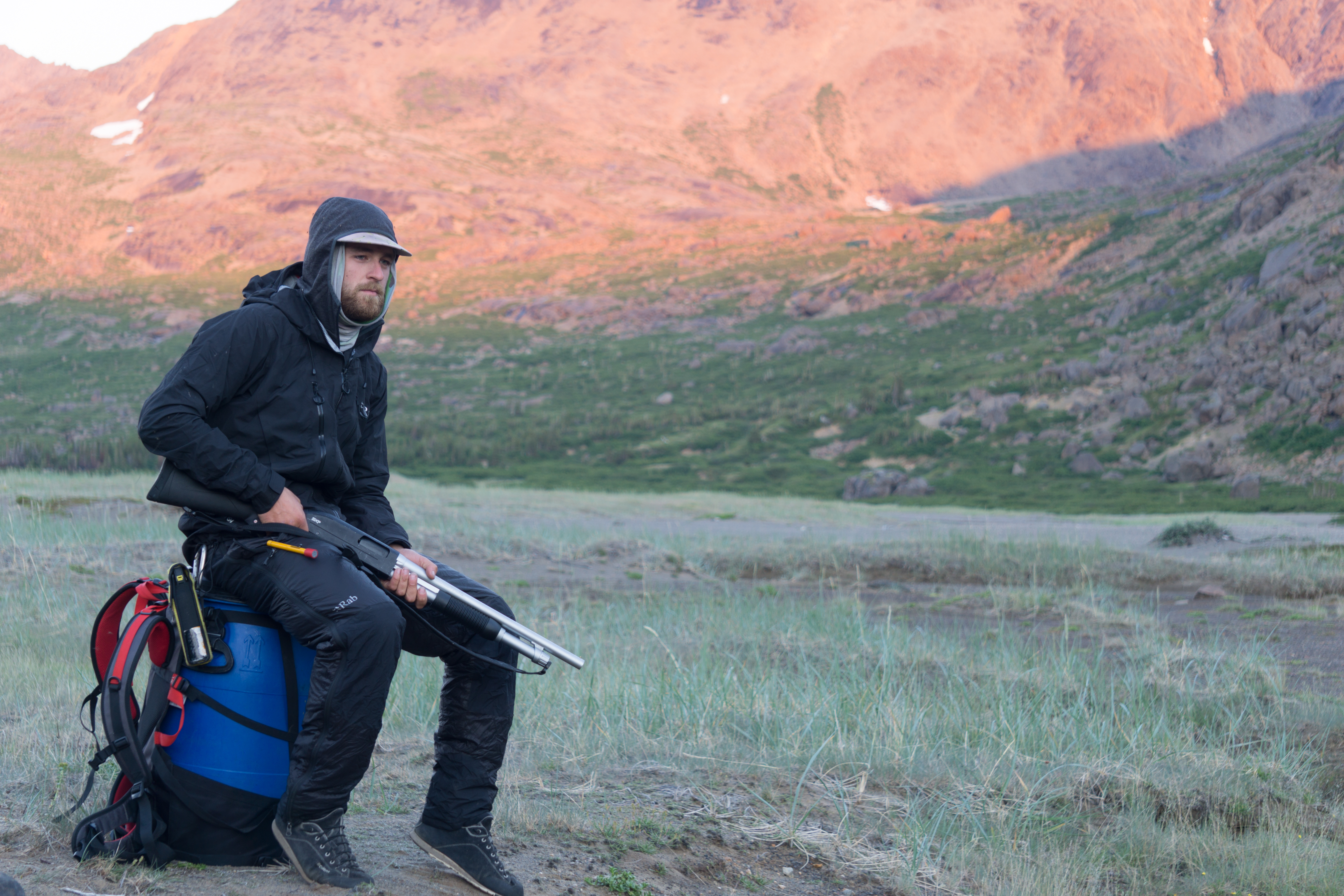
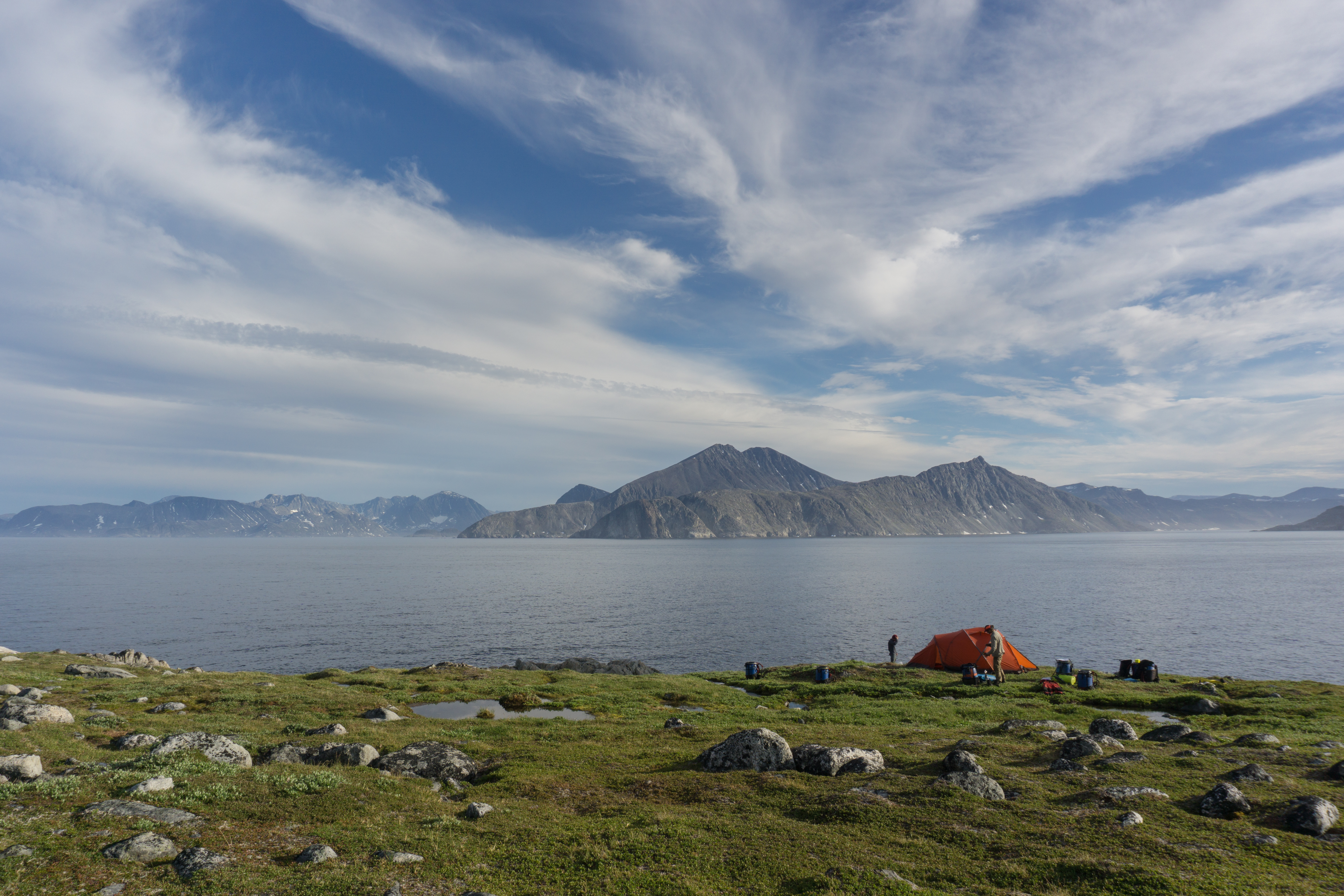
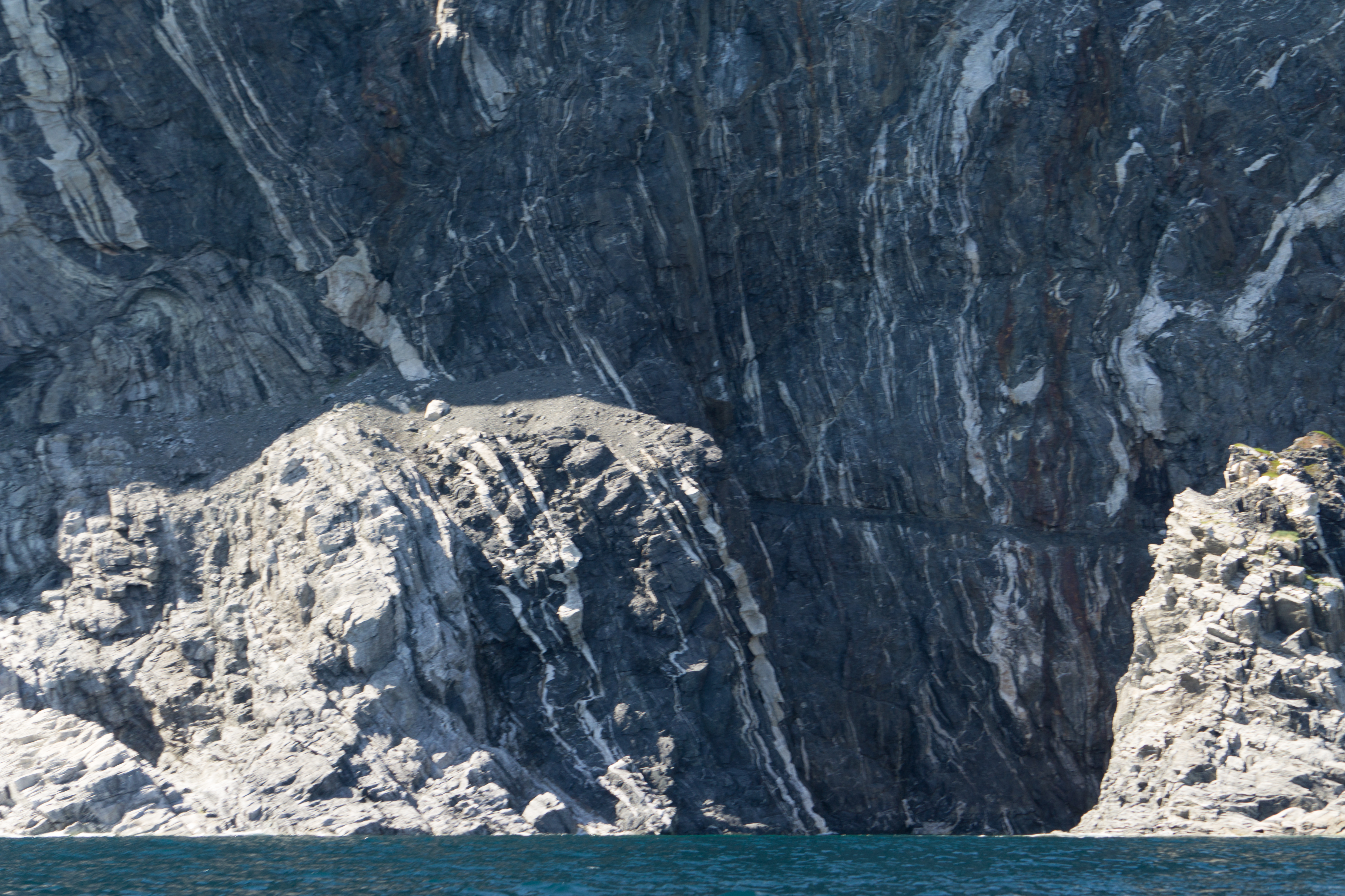
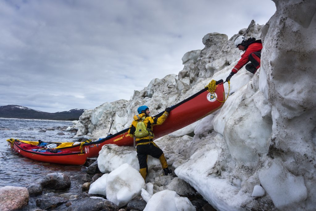
The expedition’s exit point was several hundred kilometers south of Mount d’Iberville, at the Inuit village of Nain on the Labrador coast. Returning to the Palmer River, we reached the Atlantic Ocean and began paddling along this ghostly coastline for 600 km, recognized as one of the most difficult places in the world to navigate. This section of the expedition was one of the most daring we’ve ever done.
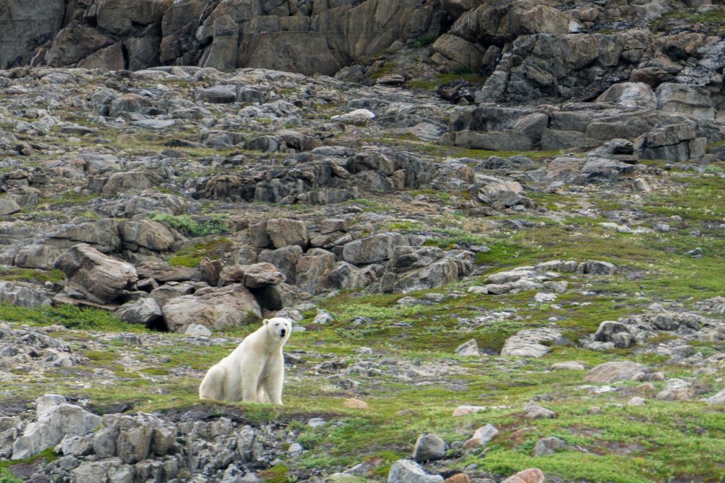
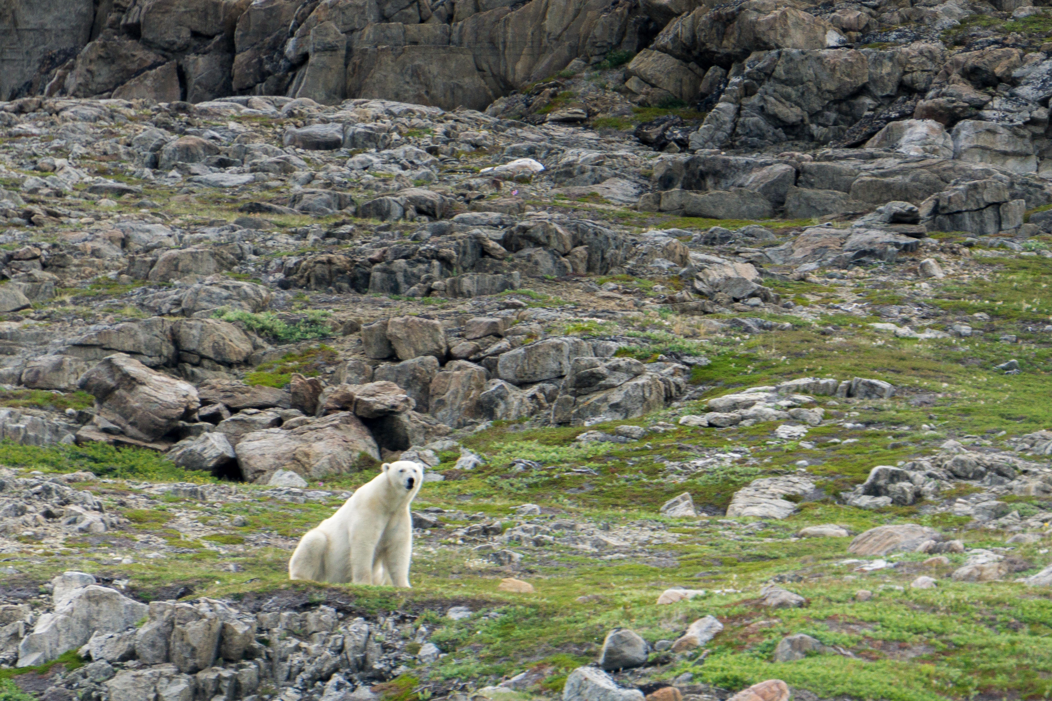
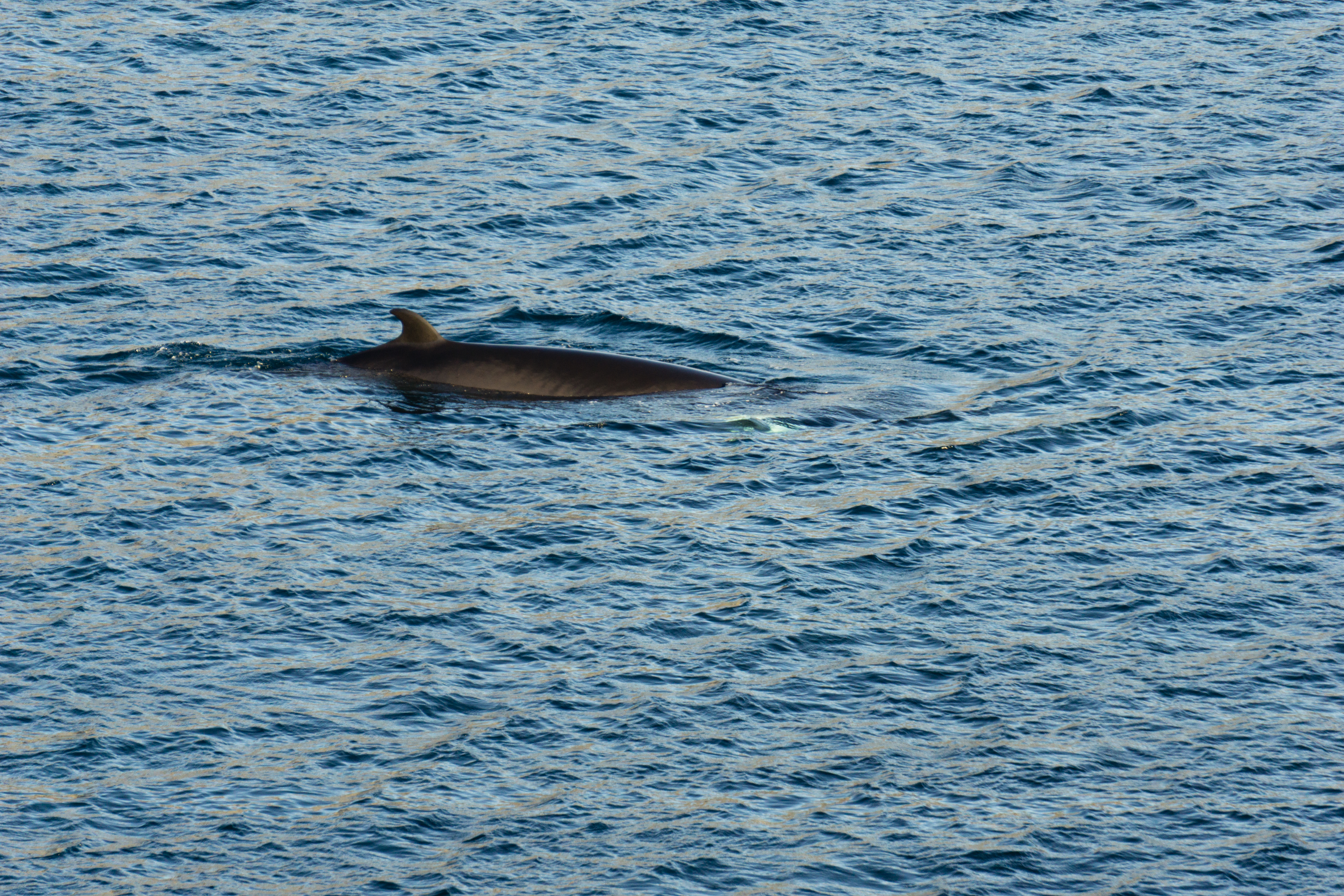
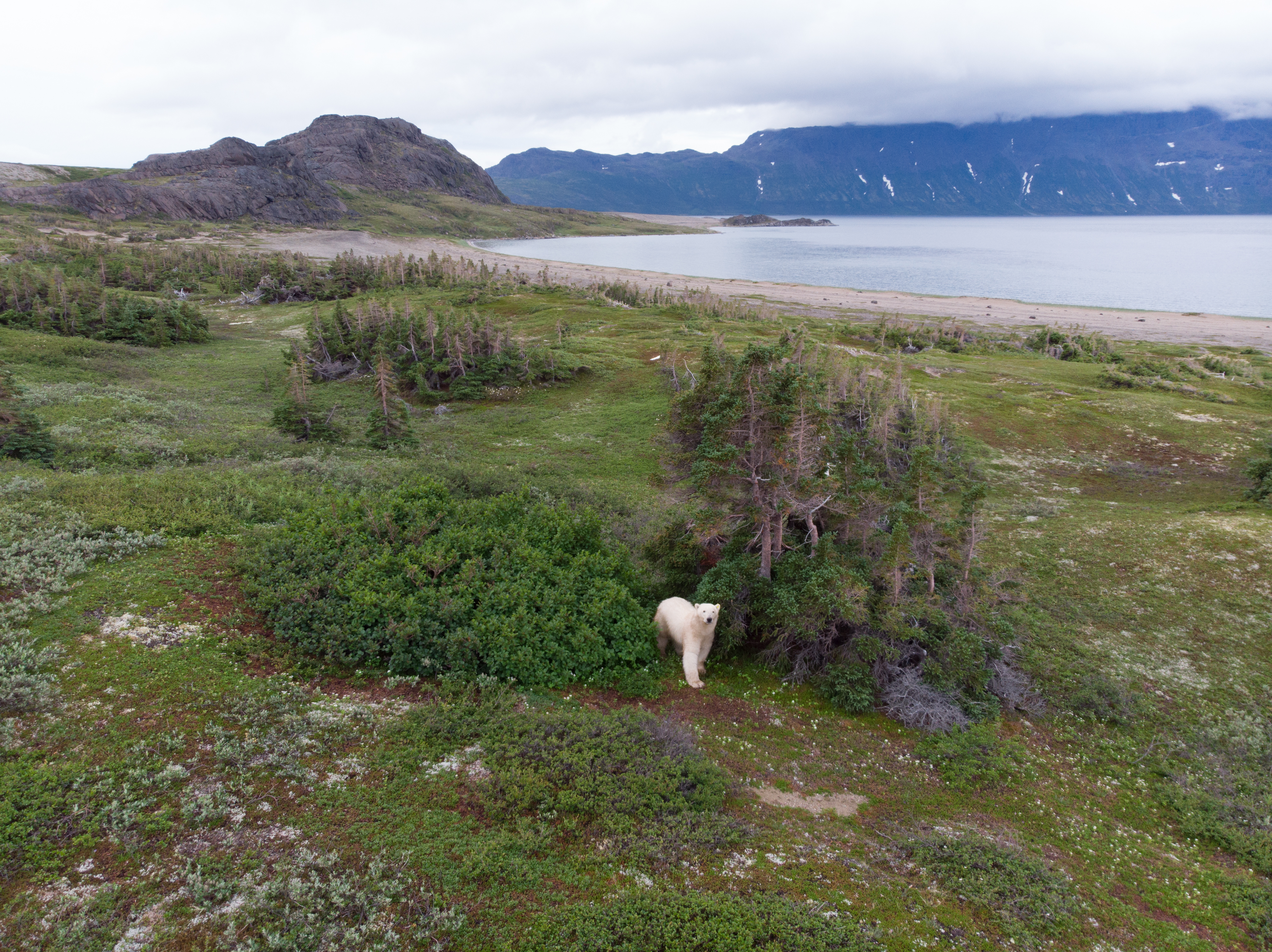
For 3 weeks, we lived among polar bears, icebergs and the dizzying cliffs of the Labrador coast, having to stand guard at night to prevent polar bears from getting too close to the tent. After a total of 65 days, we reached the village of Nain, exhausted but satiated by the 1,600 km of breathtaking scenery we’d travelled by human power.
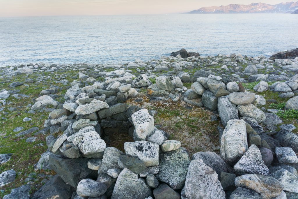
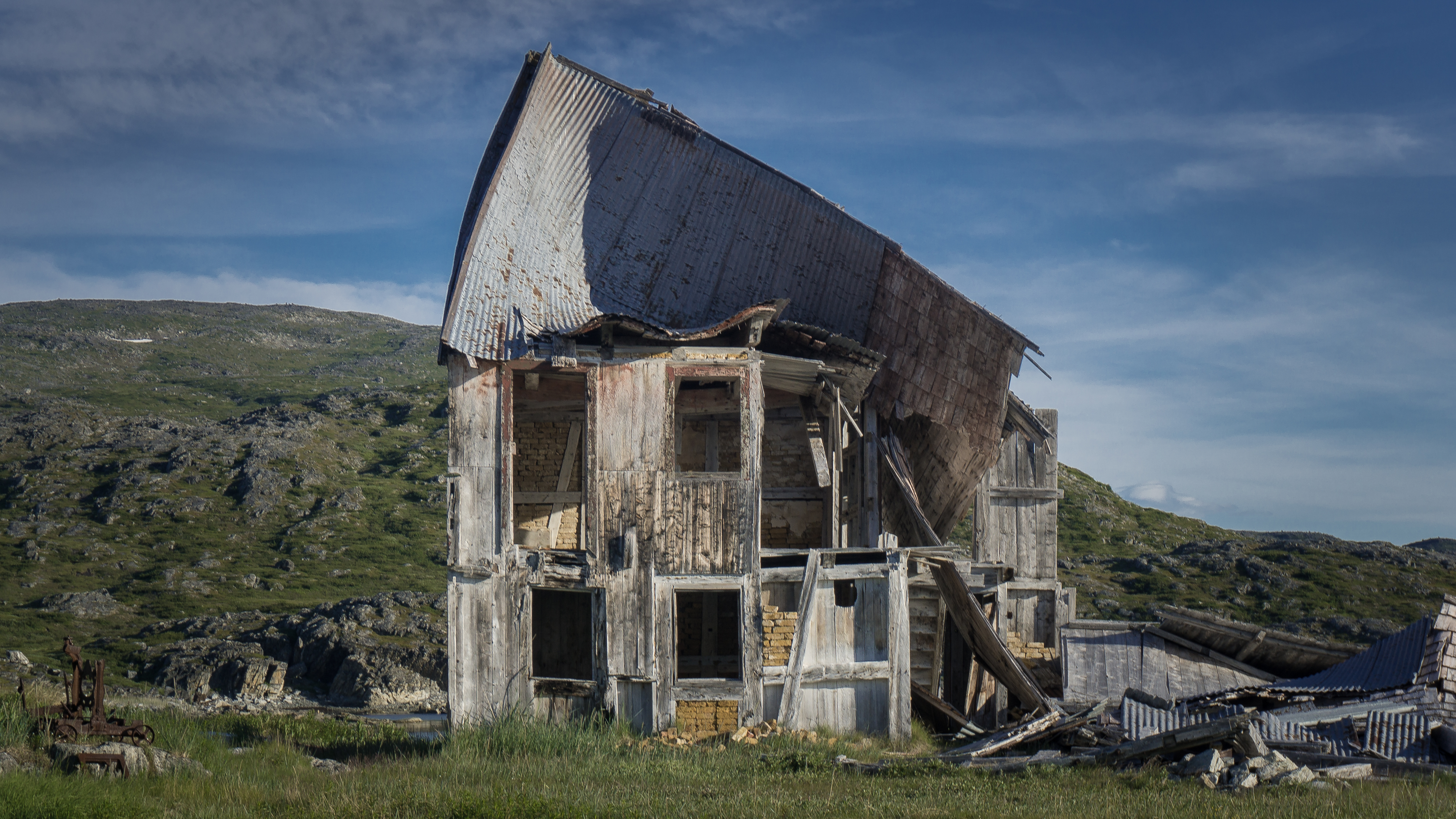
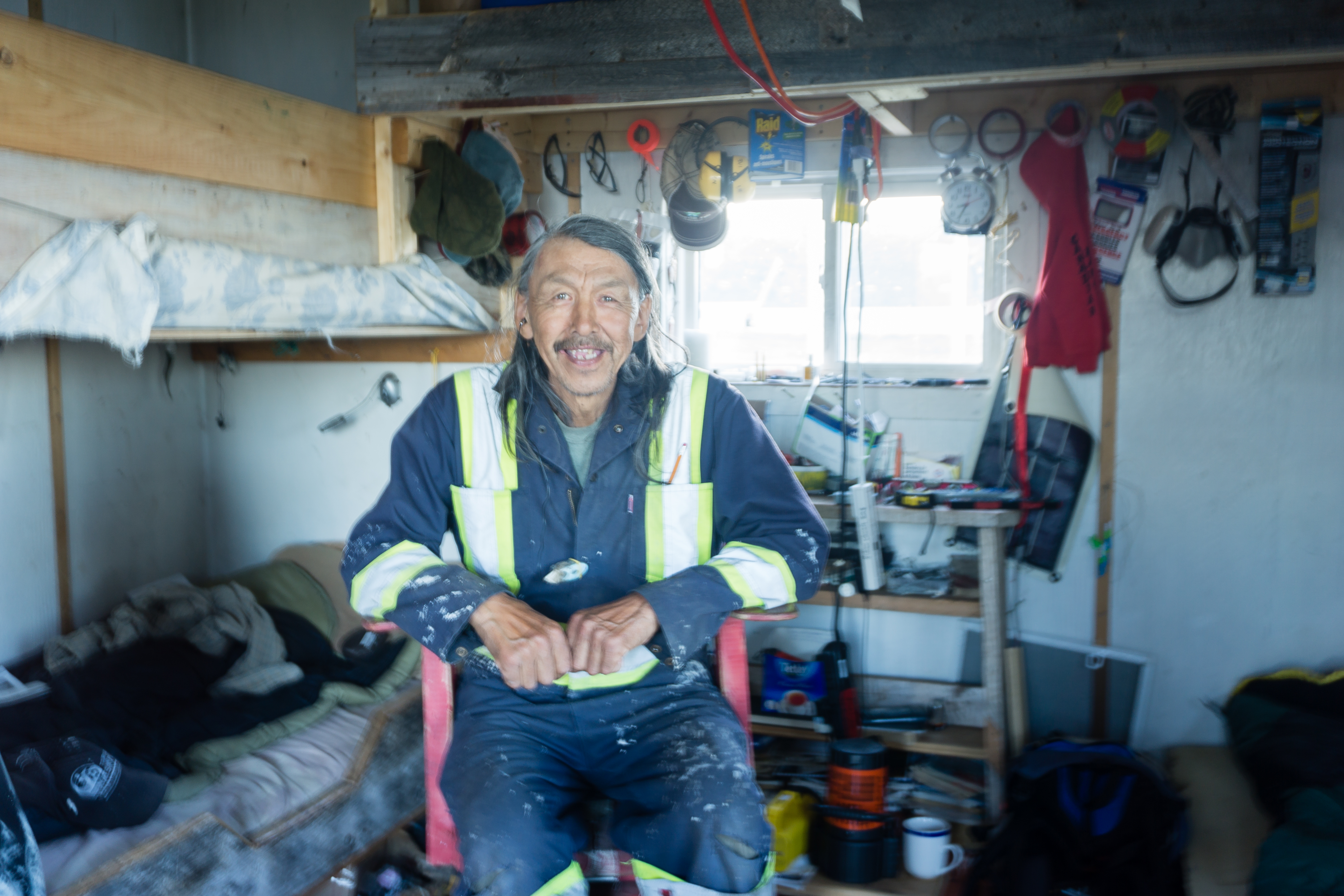
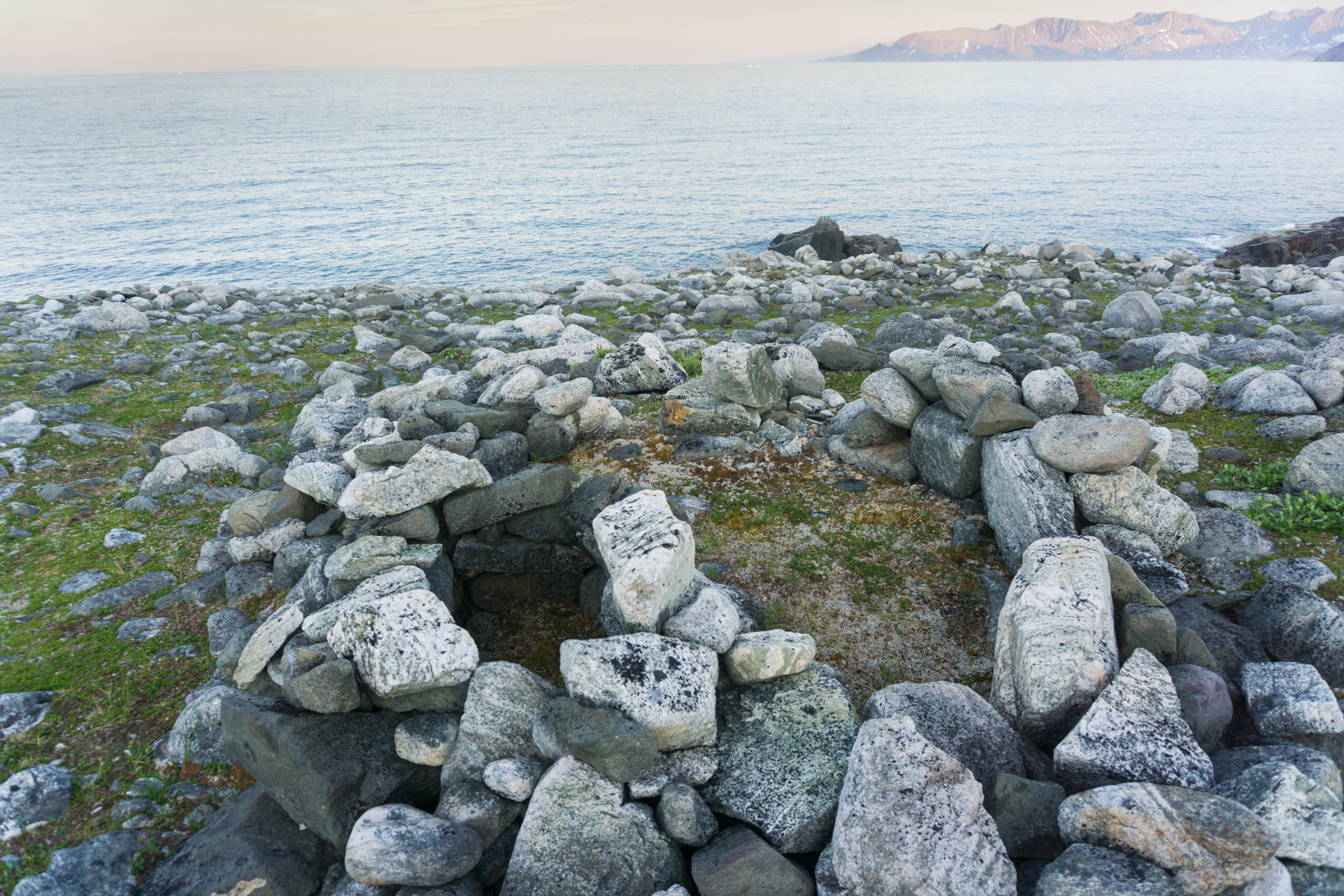
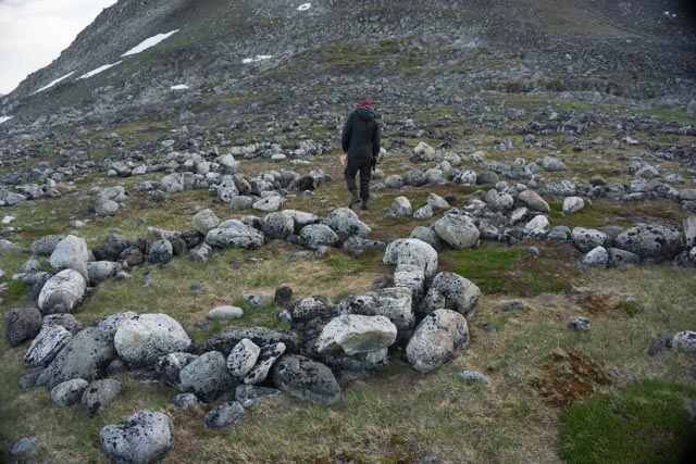
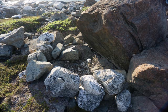
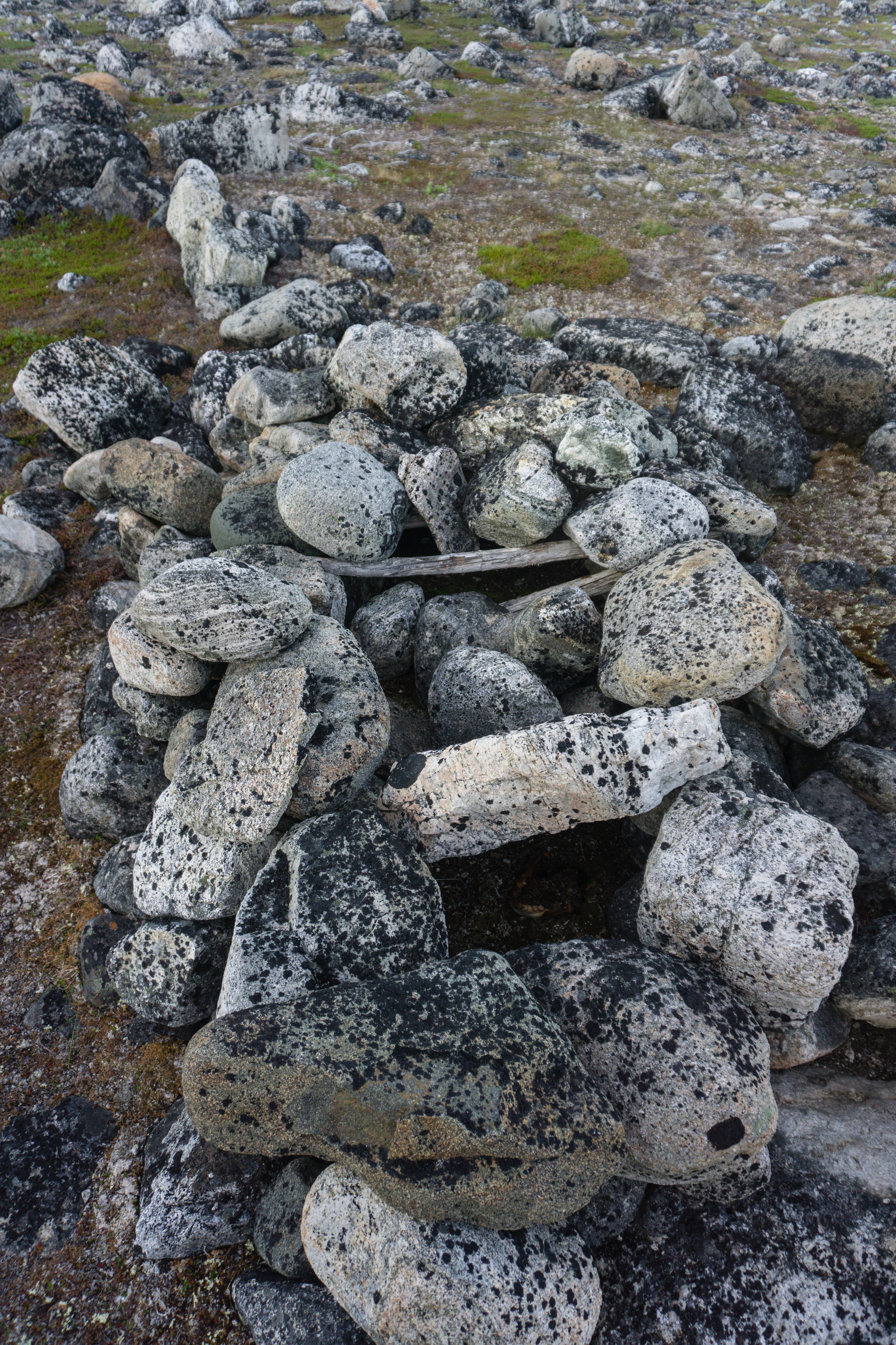
Above all, we came away fascinated by the archaeological discoveries we made along this hostile coastline. The territory of this coastline is so rugged that transiting humans have been using the same camping sites since time immemorial. We slept next to old tent rings and semi-subterranean houses built hundreds, if not thousands, of years ago. The remains of Inuit, Thule and possibly even Dorset dwellings are proof of the long-standing occupation of this territory by the natives. Archaeological traces dating back over 6,000 years have already been found in this region. A fine lesson in humility for us modern “adventurers”, who always find excuses to complain despite the comfort of our dry suits and GPS.

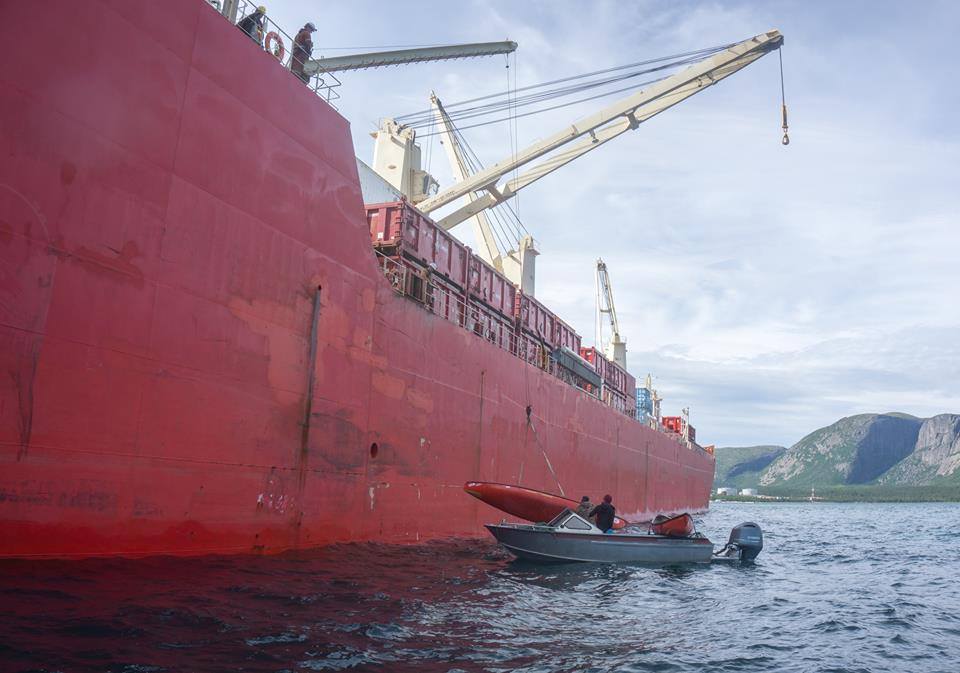
This project earned us a major grant from The Royal Canadian Geographical Society, as well as the AKOR Scientific Expedition Scholarship created by Université Laval specifically for our project.
Quelques entrevues sur cette expédition


Gallerie